Met Éireann: Cold spell to be replaced with wet and windy weather


Met Éireann has said that the recent cold snap will give way to milder conditions, along with wet and windy weather this weekend.
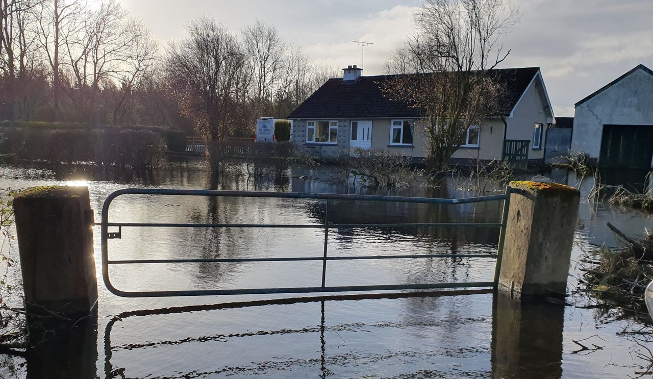
The national forecaster said that over twice the normal level rainfall is expected over the next seven days.
A Status Yellow wind warning has been issued for the entire country from 11:00a.m on Sunday (January 21) until 6:00a.m on Monday.
The very strong and gusty southwesterly winds will lead to significant coastal waves, difficult travelling conditions and debris.
Met Éireann
This morning (Friday, January 19) will be cold and frosty with icy stretches on roads and footpaths.
It will become dry as any lingering showers in Ulster ease. Cloud will build from the west in the afternoon and evening as southwesterly winds strengthen. Highest daytime temperatures of 3 to 7°C.
Rain will develop in the west tonight and will move eastwards. It will turn milder with lowest overnight temperatures of 4 to 7°, southerly winds will increase fresh to strong.
Saturday (January 20) will be a milder day than recently with highest afternoon temperatures of 7 to 11°.
There will be some dry spells in the afternoon, before more persistent rain moves in from the west later. It will be a blustery day in the fresh to strong southerly winds.
After a wet start, the rain will clear eastwards on Saturday night to leave scattered showers and clear spells. The winds will ease, lowest temperatures of 2 to 6°.
It will be wet and windy on Sunday (January 21) as heavy rain spreads from the southwest accompanied by strong to near gale force and gusty southerly winds. Highest temperatures of 11 to 13°.
Sunday night will be very windy with strong and gusty southwest winds and gales in coastal areas. Widespread heavy showers will gradually become more scattered as winds veer westerly. Lowest temperatures of 3 to 7°.
It will be windy on Monday (January 22) with bright spells and scattered showers, some of the showers will be heavy with a chance of hail. Highest temperatures of 5 to 9°.
Tuesday (January 23) will be cloudy with rain clearing to scattered showers later in the day. Highest temperatures of 10 to 14° in fresh and gusty southwest winds.
Met Éireann said that Wednesday looks like it will be a drier day but unsettled conditions are currently expected for the rest of next week.
Most soils types are saturated with poorly drained soils in the northern half of the country waterlogged.
This week will see little change in soil moisture deficits, with wetter conditions at the weekend causing a further deterioration in soil moisture deficits leading to some moderately and poorly drained soils becoming waterlogged.