Met Éireann: Calmer weather expected later this week

Met Éireann said that unsettled conditions with rain and showers will continue over the coming days, ahead of drier and calmer weather expected later in the week.
The forecast follows two storms hitting Ireland over the weekend, which included a reported tornado-like event in Leitrim village where a major clean-up operation is continuing.
After a dry start today (Monday, December 11), rain will develop in the west and southwest and push eastwards during the afternoon and evening. There will be some heavy falls in places.
The south to southeast winds will strengthen during the day, with highest temperatures of 7°C to 11°.
The rain will continue overnight before becoming confined to Leinster and Ulster, followed by a clearance to scattered showers. The winds will ease as the rain clears, overnight temperatures of 3° to 7°.
Tuesday (December 12) will be cloudy with showers in the morning. Later in the day some bright or sunny periods will develop. Highest temperatures of 8° to 10° in light variable winds.
Tuesday night will be cloudy and dry, some showers are possible in eastern areas. Lowest temperatures of 5° to 8° in light to moderate northerly winds.
Wednesday (December 13) will be a mainly dry day with light variable breezes with some sunny breaks. Highest temperatures of 7° to 9°.
Thursday (December 14) will be cloudy with rain and drizzle, which is expected to die out later in the day. The westerly winds will be generally light, with highest temperatures of 9° to 11°.
Met Éireann
Met Éireann said that rainfall amounts are expected to be generally below average across the country over the coming week, ranging between 3mm and 20mm.
These values are between 18% and 74% of average for this time of year.
Overall mean air temperatures will range from 8° to 11°, which is 2 to 4 degrees above the seasonal norm. Soil temperatures are anticipated to recover to mostly above average by the end of the week.
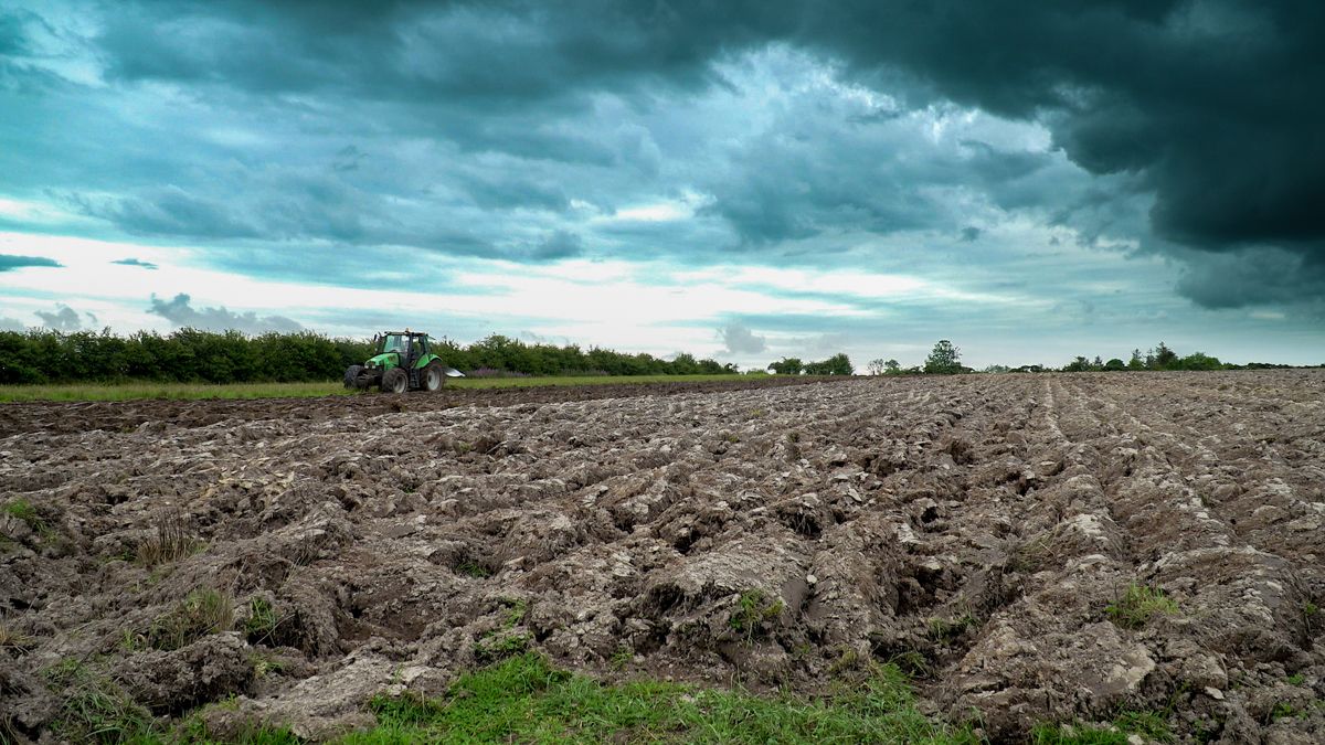
Met Éireann said that drying conditions will be fairly poor, while spraying conditions will also be generally poor but could improve slightly from midweek.
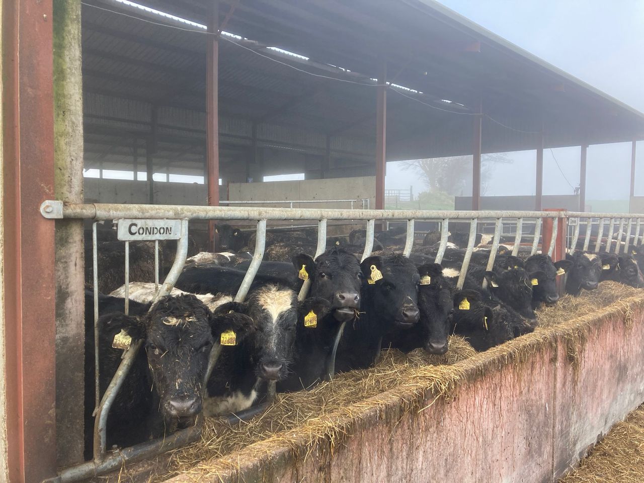
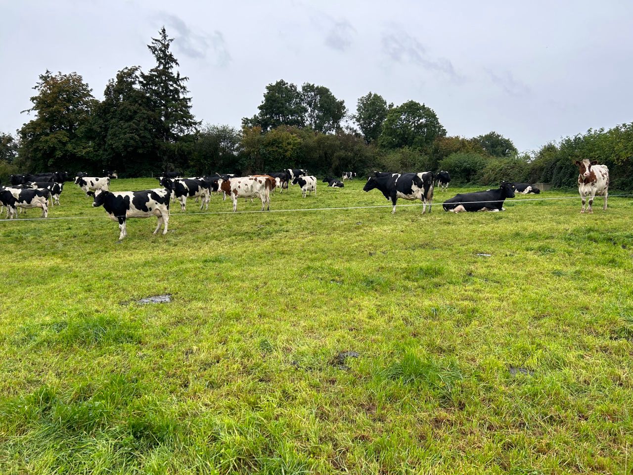
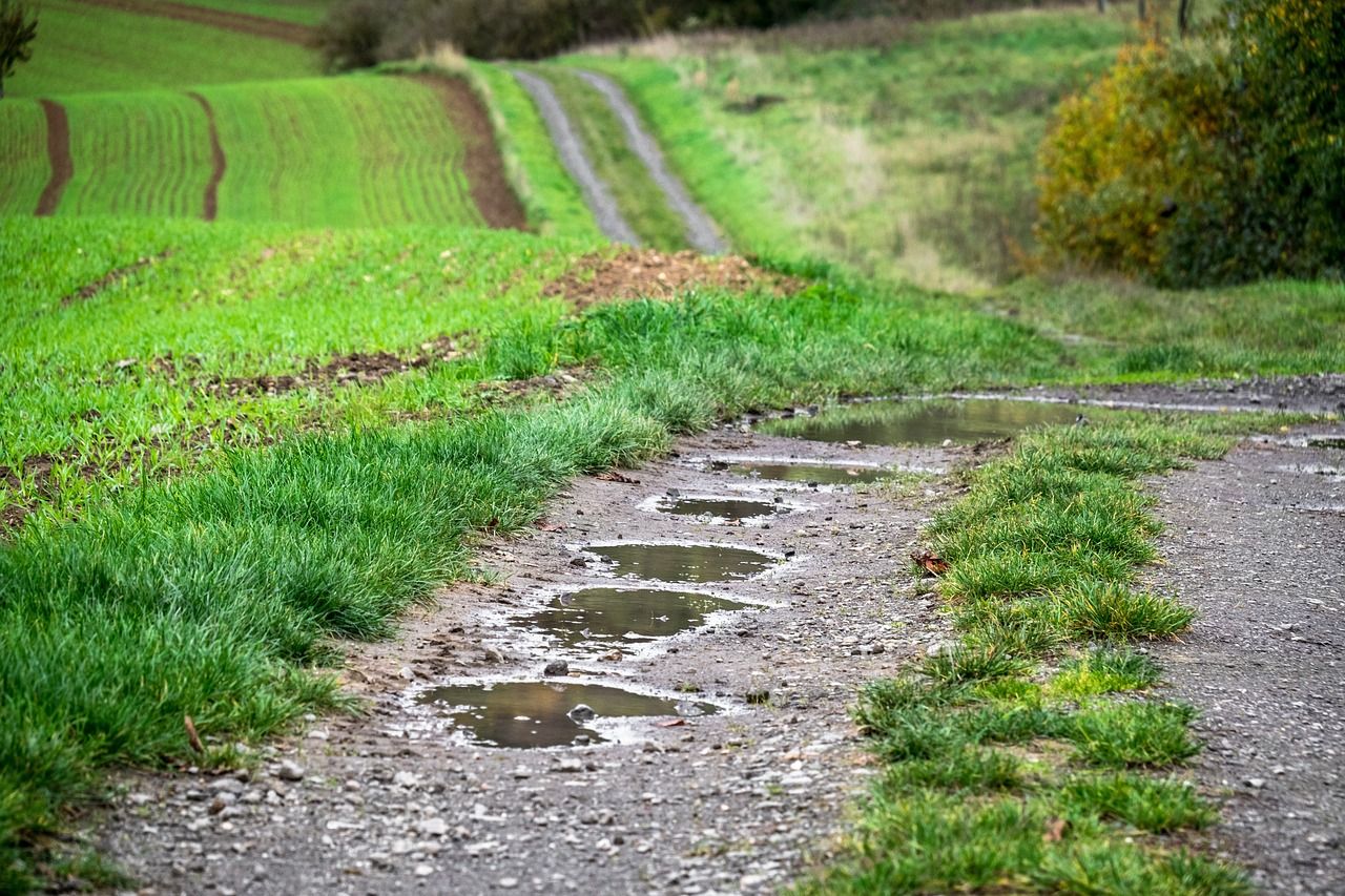
All soils are currently saturated, with poorly drained soils and most moderately drained soils waterlogged or near waterlogged.
There is a possibility that moderately drained soils may improve to saturated later in the week. Poor trafficability in fields will continue.