Weather: Unsettled wet conditions as Storm Ciarán approaches


Much of the country will experience unsettled weather this as Storm Ciarán approaches and is due to make landfall on Wednesday and Thursday.
There is a Status Yellow weather warning for rain for Kerry which will be valid from 12:00p.m today (Tuesday, October 31) until 12:00p.m tomorrow, Wednesday.
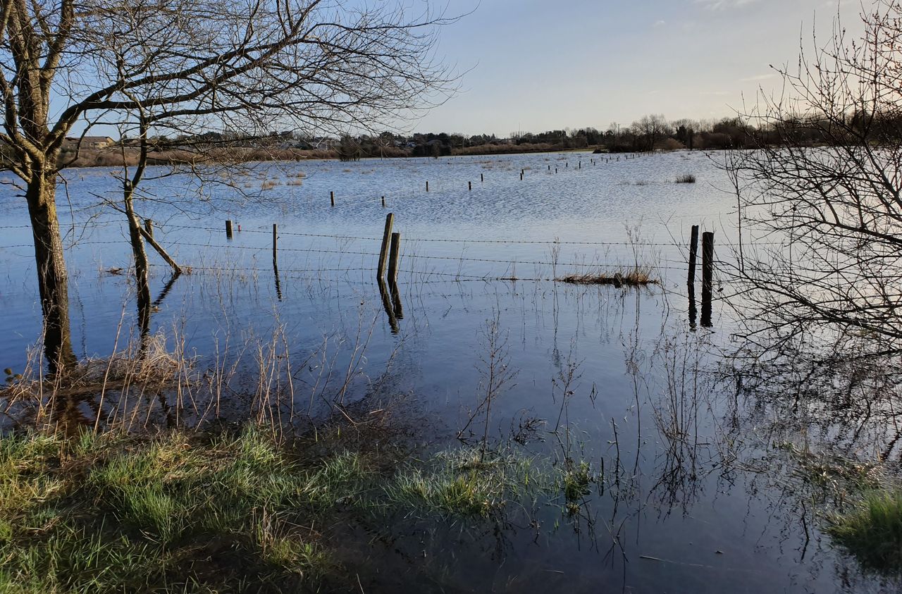
Met Éireann has warned that there may be localised flooding, difficult driving conditions and poor visibility in Kerry as a result of the forecasted rain.
In Northern Ireland, there is an Amber Rain Warning for counties Antrim, Armagh and Down which will be valid until 9:00a.m. today.
There is a further Yellow Rain Warning in place until midday today (Tuesday) for Antrim, Armagh, Tyrone, Down and Derry.
The UK Met Office has also issued a Yellow Rain Warning for counties Antrim, Armagh, Down, Fermanagh, Tyrone, Derry effective from 9:00 tonight (Tuesday) until 9:00a.m tomorrow.
Back to today's weather, rain will continue in Ulster with spot flooding. It will clear slowly northwards today.
Met Éireann has said there will be mist and fog in many areas this morning, gradually clearing.
Rain will develop in the south-west in the late morning and spread north-eastwards through the afternoon and evening with a chance of spot flooding.
Highest temperatures today will range from 9°C to 13° with freshening south-easterly winds.
There will be rain in all areas tonight with spot flooding possible. Lowest temperatures will range from 5° to 8° with moderate to fresh south to south-east winds.
Tomorrow, Wednesday, will start off dull with rain in many areas. The rain will gradually clear northwards with sunshine and a few showers following from the south.
Winds will become westerly and will increase fresh to strong and gust for a time and easing later in the day. Highest temperatures tomorrow of 10° to 12°.
Weather as a result of Storm Ciarán
On Wednesday night, Storm Ciarán will track eastwards close to the south coast of Ireland with a spell of heavy rain, mainly over Munster and Leinster with the likelihood of some flooding.
Fresh to strong and gusty north-east winds will develop and will also be strongest in Munster and Leinster. Lowest temperatures will range from 3° to 6°, coldest in Ulster.
Thursday will start off wet and windy, especially in the east and south. The rain will clear to the east and winds will become north-westerly and east somewhat.
Drier, brighter weather will follow from the west and north with sunshine and scattered showers and highest temperatures of 8° to 11°.
Thursday night will be breezy with clear spells and showers. Lowest temperatures of 6° to 9° with fresh, gusty north-west winds.
Friday will be a bright, breezy day with sunny spells and scattered showers. Highest temperatures of 10° to 12° with moderate to fresh north-west breezes.
On Friday night, it will start largely dry with clear spells with lowest temperatures of 4° to 7°. Later in the night rain will develop in the south-west and spread across Munster.
Weekend weather
On Saturday, rain will mainly affect Munster and Leinster with drier weather to the north-west.
The rain will clear eastwards in the evening and early night with showers following. Highest temperatures of 7° to 10° with moderate to fresh north-east winds.
Sunday will be a bright, breezy day with sunshine and showers, with highest temperature 9° to 11° with moderate to fresh westerly winds.
The early days of next week will continue unsettled.
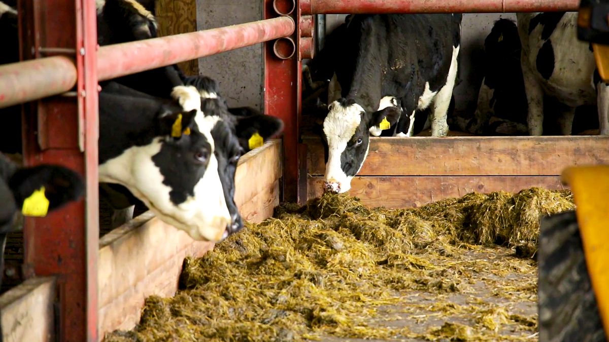
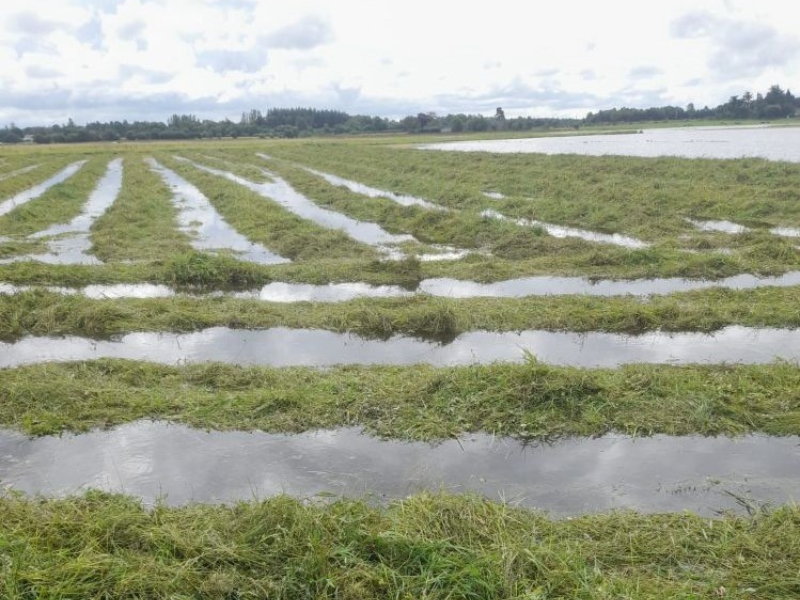
Field conditions
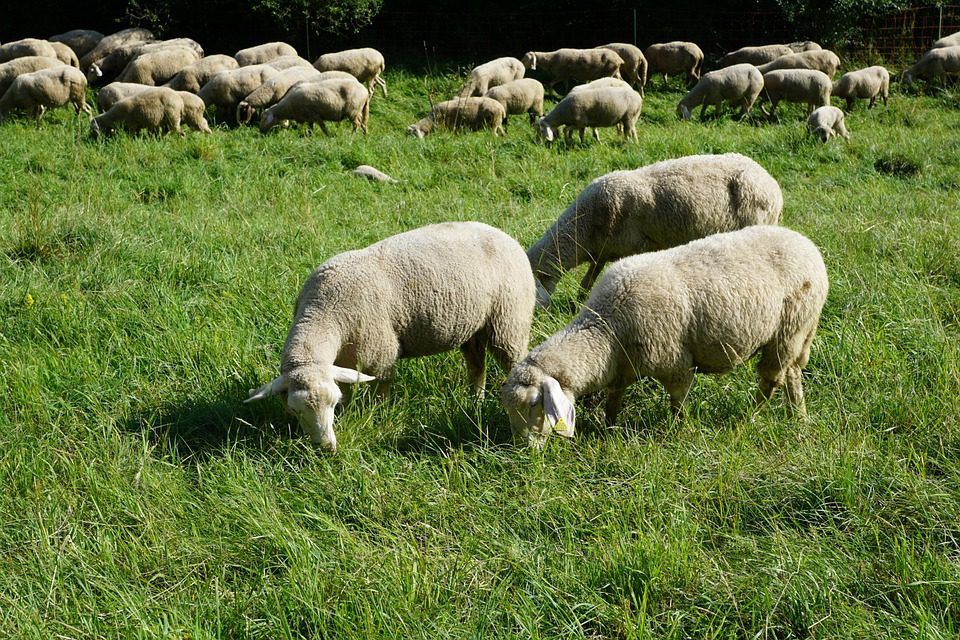
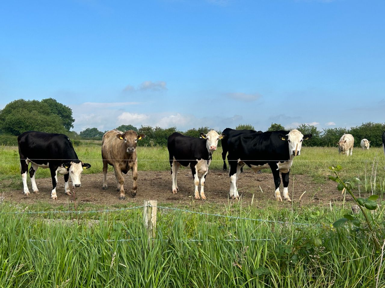
All soils are either saturated while most poorly drained soils and moderately drained soils in south Munster and south Leinster waterlogged.
There will be little to no improvement over the coming week due to frequent spells of wet weather, according to Met Éireann.