Weather for the week ahead: Cold and frosty with wintry showers

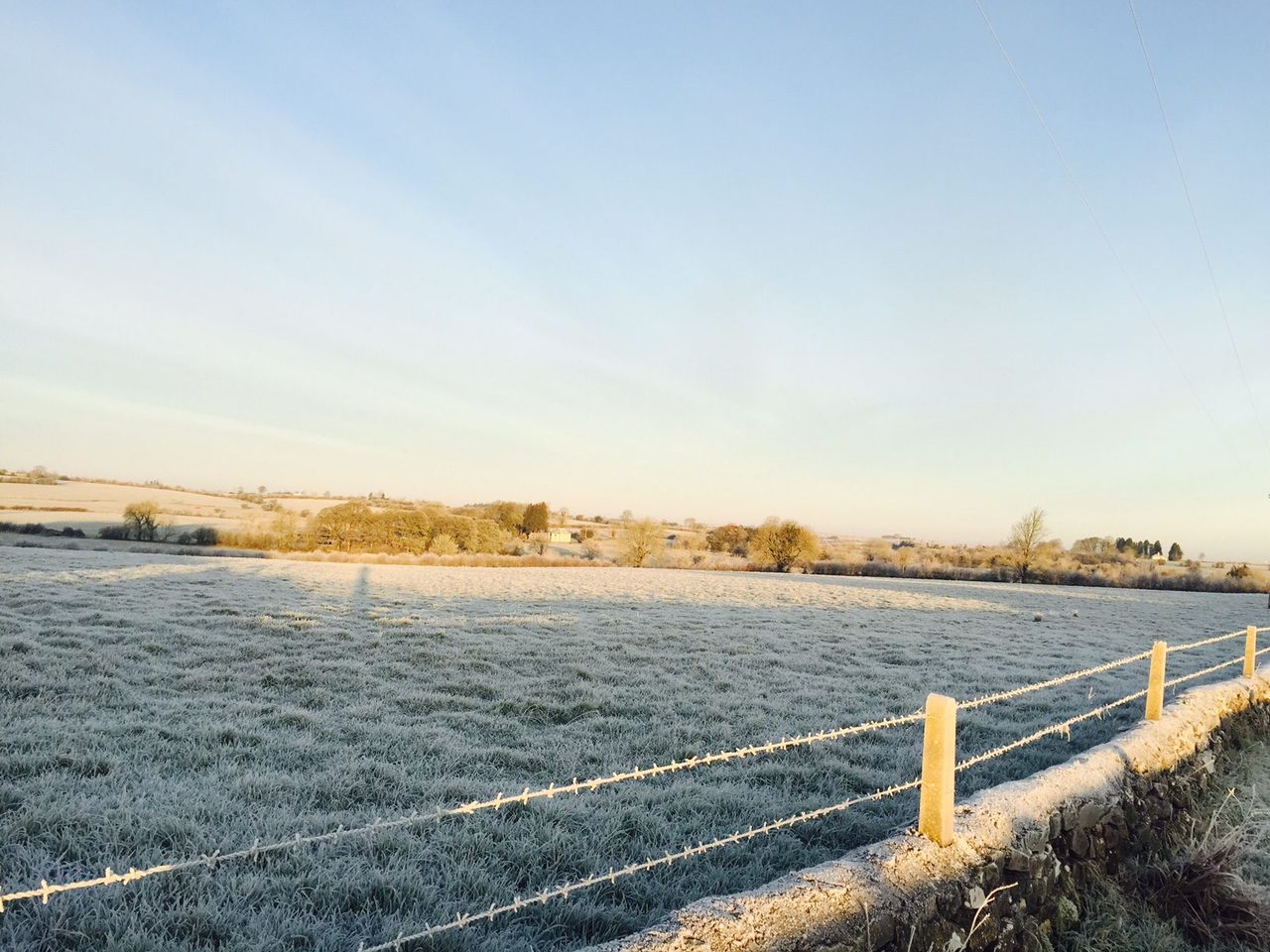
After a stormy weekend, the weather is set to remain cold, showery and blustery for the coming days, according to Met Éireann.
Met Éireann has forecasted that today (Tuesday, December 29) will be cold and blustery, with bright spells and scattered showers, some with hail and a risk of wintry falls over high ground.
Showers will mainly fall across the western half of the country this morning, spreading eastwards during the afternoon. There will be highest temperatures of 4° to 7° in fresh and gusty northwest breezes.
Soon after midnight, rain will develop in western coastal counties and extend eastwards over central and southern counties, turning to sleet and snow in some areas.
Tomorrow
Tomorrow (Wednesday, December 30) will have an icy start for many. Rain, sleet and snow across the southern half of the country will clear southeastwards during the day, with bright spells and scattered wintry showers following from the northwest.
There will be clear spells and wintry showers overnight, with showers mainly confined to western and northern coastal counties. There will be widespread frost and ice with minimum temperatures of -3° to 2° in fresh northwest winds.
New Year’s Eve and Day
Thursday, New Year’s Eve, will be cold and breezy, with sunny spells and passing showers, these mainly affecting Atlantic coastal counties, with a risk of hail and thunder.
Maximum temperatures will generally range from 2° to 6°. Frost and ice will develop again on Thursday night with lowest temperatures of -3° to 2°.
There will be maximum temperatures of 3° to 6° in moderate northerly winds. Most areas will be dry overnight, with a sharp frost and ice.
However, a few showers will affect Atlantic coastal counties and may drift onto some southeastern coastal areas.
The weekend
After a cold and icy start, Saturday will bring dry and bright weather, with crisp sunshine and just a few coastal showers.
Highest temperatures will be 3° to 6° in moderate northerly breezes.
Current indications suggest that Sunday will be another cold day, with sunny spells and isolated showers of rain or hail.
Drying, spraying and field conditions
Drying conditions will be poor due to generally cold and, at times, showery conditions. Although it will become less unsettled later in the week, it will still be cold and winds will be lighter, so drying is unlikely to improve.
All soils are either saturated or waterlogged, and no significant improvement is expected in the short-term. There may be possibly some improvement by the end of the week.