Nationwide Status Yellow rain warning issued for Sunday

National weather forecaster, Met Éireann has issued a nationwide Status Yellow rain warning coming into effect in the early hours of Sunday (September 11).
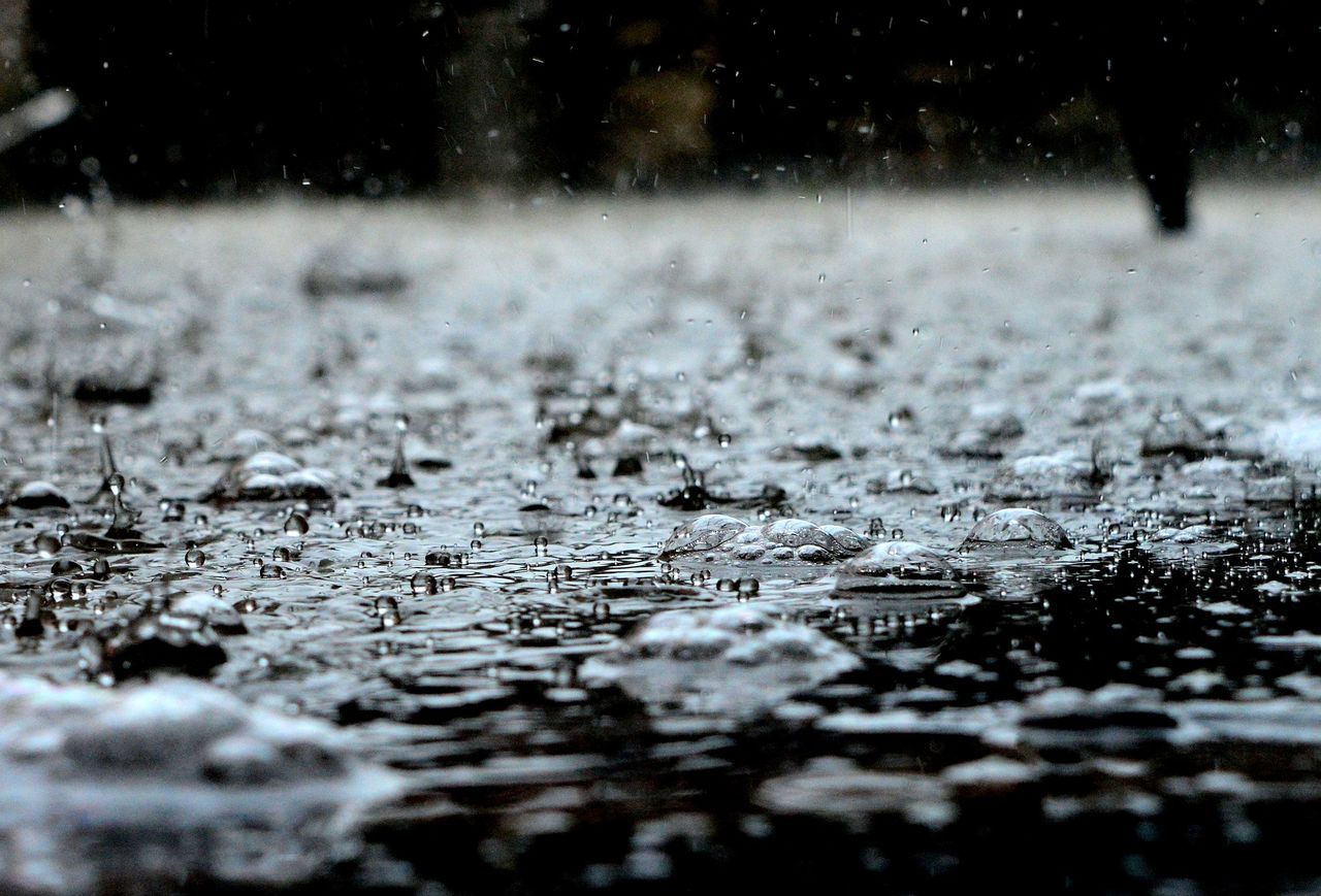
High amounts of rainfall are expected which may cause some disruption and spot flooding, particularly in mountainous areas, Met Éireann said.
The Status Yellow rain warning for all counties will come into effect at 02:00a.m. on Sunday and will remain in place until midnight.
Heavy and persistent rain will extend nationwide on Sunday, with further outbreaks of rain overnight and the continued potential for spot flooding. Maximum day-time temperatures are due to reach 17° to 20°.
Met Éireann said outbreaks of rain will gradually ease and clear on Monday (September 12), with dry and bright periods developing at maximum temperatures of 17° to 22°.
Weekend forecast
After a cloudy and damp start across most areas today (Friday, September 9), rain and drizzle in the north and east will ease during the afternoon, while it will be largely dry elsewhere with some bright spells developing along with the odd shower.
Highest temperatures of 18° to 22° in moderate north or northwest breezes are expected today, before a mainly dry night with clear spells but areas of mist and fog will see lowest temperatures of 9° to 12°.
Tomorrow (Saturday, September 10), is set to be a mostly dry day with a mix of cloud and sunshine, the best of which is expected across the north and east of the country.
Despite a few well-scattered showers mainly confined to the southwest, the day will be warm with highest temperatures of 18° to 22° in moderate east or southeast winds, according to Met Éireann.
Saturday night will stay mostly dry at first, however cloud will thicken from the south and outbreaks of rain will spread across Munster and Connacht before dawn. Lowest temperatures of 11° to 14° in a moderate southeast breeze are expected.