Met Éireann warning for heavy rain and thunderstorms

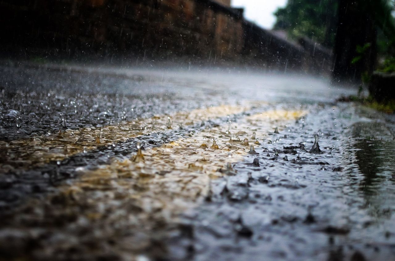
Met Éireann has issued a Status Yellow weather warning for thunderstorms and rain across much of the country today (Saturday, June 17).
The thunderstorms will bring frequent lightning, heavy downpours, gusty winds and a chance of hail, according to the national forecaster.
The weather warning which is due to come into force at midday could lead to localised flooding in parts, making travelling conditions difficult.
The warning will apply to Carlow; Kildare; Kilkenny; Laois; Longford; Louth; Meath; Offaly; Westmeath; Cavan; Donegal; Monaghan; Clare; Cork; Kerry; Limerick; Tipperary and Connacht.
Met Éireann said that the alert will remain valid until 11:00p.m on Saturday.
The UK Met Office has also issued a Status Yellow thunderstorm warning for Fermanagh, Tyrone, Derry. The warning will be in place from 2:00p.m until 9:00p.m.
Met Éireann
The weather forecast for this morning is for cloudy conditions with some heavy falls of rain in the east and southeast, elsewhere there will be dry spells.
As the day progresses showers will develop across much of the country with highest temperatures of 18° to 22° in moderate southerly breezes.
The showers will gradually die out tonight with patches of fog and mist forming in the light winds. Lowest temperatures of 11° to 24°.
Sunday will bring further showers, some of which will be heavy and possibly thundery in the afternoon and evening.
It will be a cloudy day with temperatures ranging from 18° to 22° in light to moderate southeasterly breezes.
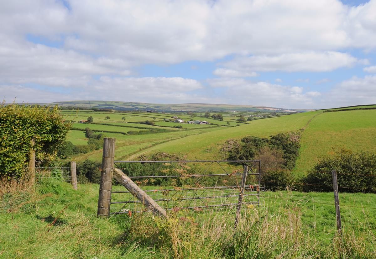
Met Éireann said that soil moisture deficits (SMDs) across all soil types currently range from around 40 to 75mm.
Grass growth has become increasingly restricted and the southeast is experiencing agricultural drought conditions.
In areas where showers occur, SMDs will recover somewhat, but this will be limited.