Met Éireann: Rain set to return this weekend

Met Éireann has said that rain is due to return this weekend following the drier conditions of recent days.
The national forecaster said that it will remain unsettled, with the wettest conditions tonight (Friday, July 21) and Saturday.
Up to 2.5 times the average rainfall for this time of year is expected for the east and parts of Munster and Connacht.
Met Éireann
This morning will be cloudy with patchy rain and drizzle and the odd bright spell.
As the days progresses cloud will build from the Atlantic as rain and drizzle arrives, there will be some heavy falls in the west and northwest, staying driest in the southeast.
Westerly winds will back southwesterly and freshen, highest temperatures will range from 15° to 19°, warmest in the southeast.
There will be rain and drizzle tonight, some heavy falls will bring the risk of spot flooding. It will be humid with overnight temperatures of 12° to 15° in light to moderate southwesterly winds.
Saturday will bring some heavy and persistent spells of rain. It will be remain humid in highest temperatures of 16° to 20°. The southwest to westerly winds will be light to moderate.
More rain is forecast for Saturday night with some heavy downpours in places. It will feel mild and humid as the mercury stays from 12° to 15°. Winds will be light to moderate, fresher in coastal areas.
The rain will linger into Sunday morning, with some heavy falls possible. Brighter conditions with scattered heavy showers will develop as the day progresses. Highest temperatures of 17° to 21° in moderate north to northwesterly winds.

It will be mostly dry with sunny spells and scattered showers on Monday. Some of the showers could be heavy in the south and east. Highest temperatures of 15° to 20° in light northwesterly winds.
Tuesday will be a similar day with highest temperatures of 16° to 19° in light westerly breezes.
Met Éireann said that soil temperatures are generally slightly higher than normal, ranging from 15° in the northwest to 17.6° in the southeast of the country.
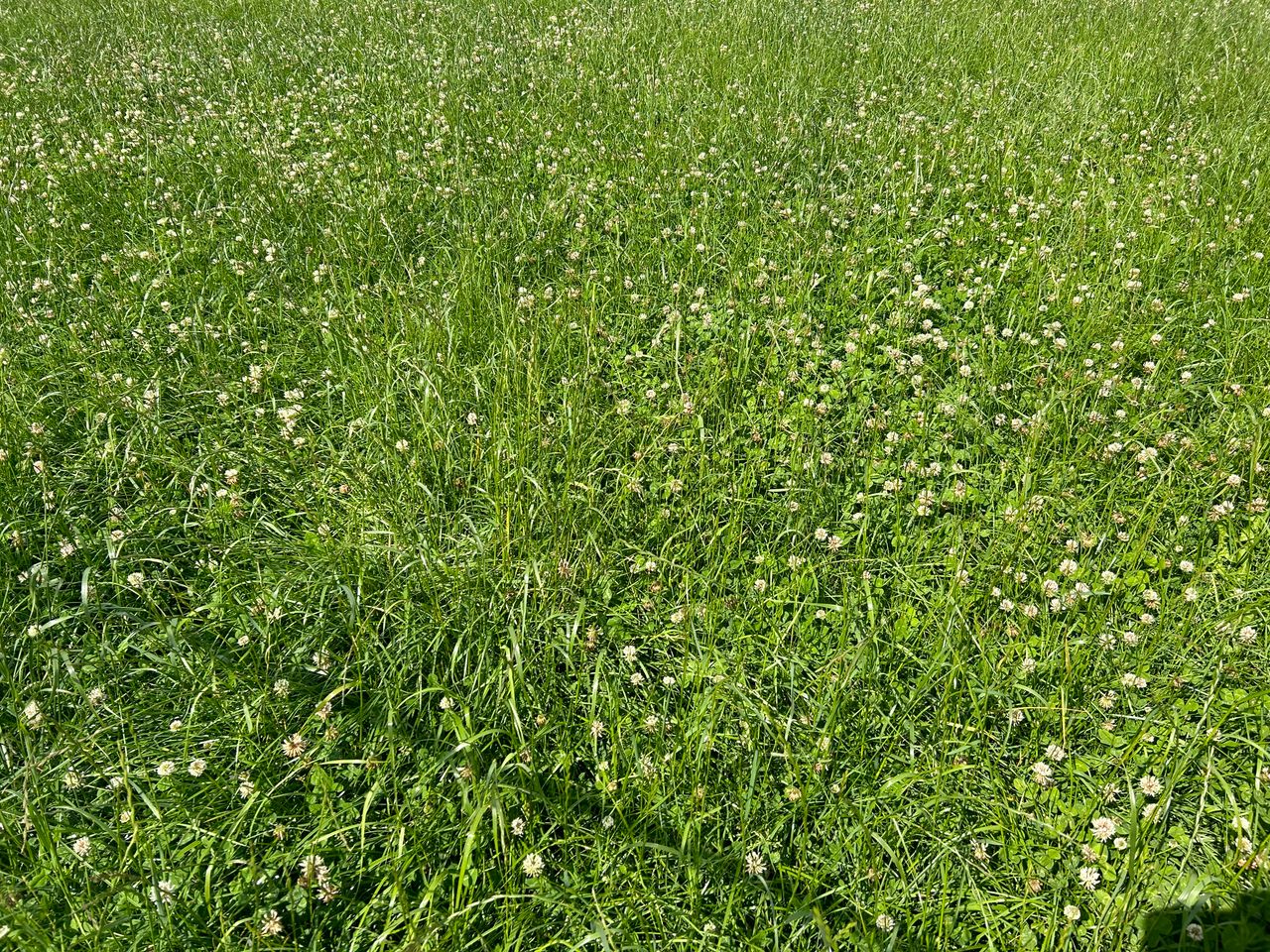
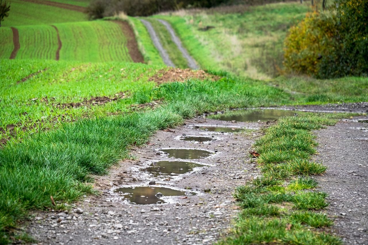
Most moderately and poorly drained soils are saturated or waterlogged, except for parts of the east and southeast where there are soil moisture deficits (SMDs) up to +20mm.
Most areas will see a slight improvement in soil conditions in the next seven days.