Wind warning to affect several counties from midday

A Status Yellow wind warning will affect sixteen counties from midday today (Tuesday, January 10), national forecaster Met Éireann has said.
The weather will become very windy or squally between 2:00p.m and 7:00p.m today with isolated thunderstorms possible.
Counties Carlow; Dublin; Kildare; Kilkenny; Laois; Longford; Louth; Meath; Offaly; Westmeath; Wexford; Wicklow; Cavan; Monaghan; Tipperary; and Waterford will be affected.
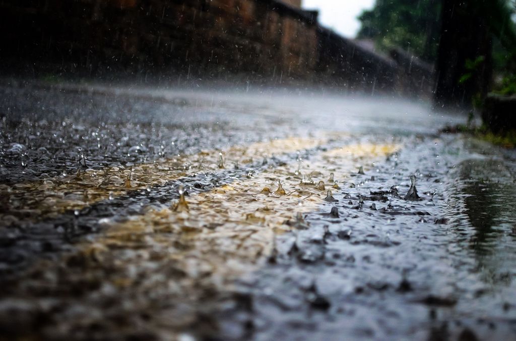
A rain warning is also currently in place until 3:00p.m today as spot flooding is expected in counties Clare; Cork; Galway; Kerry; Limerick; Tipperary; and Waterford.
The rain will clear into the Irish Sea in the evening, with clear spells and showers following from the west. It will be mild, with highest temperatures of 10° to 13°.
Tonight will be breezy with clear spells and scattered showers, most frequent over the western half of the country with the chance of isolated hail.
Lowest temperatures are expected to be 3° to 6° in fresh southwesterly winds, strong on Atlantic coasts, the national forecaster said.
Wind and rain continues
Met Éireann said it will continue to be windy and showery tomorrow (January 11). Showers will become more frequent in the afternoon, some turning heavy and prolonged, with the potential for hail.
There will be strong and gusty westerly winds with gales on western coasts. Highest temperatures will be 5° to 9°.
Cloud will thicken tomorrow night with rain spreading from the west. Some dry spells will occur over Ulster. Winds will ease moderate to fresh southwesterly. Lowest temperatures will range from 2° to 6°.