Weekend weather forecast: Mild with isolated showers

The weekend weather forecast indicates that it will be mild for the time of year. It will be largely cloudy with a good deal of dry weather, though patchy rain and drizzle will occur, mostly frequent in the northwest.
Starting with today (Friday, February 17), Met Éireann ha said that it will be very windy for a time this morning in northern and eastern parts, with strong and gusty westerly winds.
Lingering rain and drizzle will clear through the morning with moderating westerly winds and some hazy sunny spells.
Further outbreaks of rain will develop in the southwest by midday and spread north-eastwards to all areas through the afternoon and evening with strengthening south-westerly winds. Highest temperatures will range from 9° to 14°C, coolest in the north.
Tonight will be dull, breezy and damp for much of the night with outbreaks of rain and drizzle, heaviest and most persistent in the early part of the night over Ulster.
Later, clearer conditions will develop over Ulster with lowest temperatures of 4° to 8°. Milder and mostly cloudy further south with temperatures not falling below 8° to 10° with fresh and gusty westerly winds, occasionally strong.
Weekend weather
Looking towards the weekend weather, tomorrow Saturday will see a breezy and mostly cloudy start, with scattered patches of light rain and drizzle, becoming more isolated through the afternoon with long dry periods for many along with some sunny spells.
Highest temperatures will range from 10° to 13° with fresh, occasionally strong, westerly winds, easing later.
Saturday night will be largely dry initially with clear spells. Cloud will build from the northwest with rain moving over Ulster.
Staying dry further south apart from isolated patches of drizzle. Lowest temperatures are expected to range from 4° to 7° in mostly moderate west to southwest breezes with mist and some hill fog developing.
On Sunday, rain over Ulster will clear eastwards during the morning, leaving a mostly dry day, though there will be some patchy light rain and drizzle, mainly in the west and northwest.
Highest temperatures of 10° to 13° in moderate southwest winds, freshening in the northwest and west through the afternoon.
Sunday night is expected to be a mild and cloudy night with temperatures not falling below 7° to 10° in mostly moderate to fresh southwest winds.
Outbreaks of light rain and drizzle will mainly affect the west and north with largely dry conditions elsewhere. Mist and fog patches are likely, especially in the south and southwest where winds will be lighter.
Next week
Monday looks set to be another mild and mostly cloudy day with outbreaks of rain and drizzle, predominately affecting the west and northwest, while staying mostly dry elsewhere.
Highest temperatures will range from 11° to 14° in moderate, occasionally fresh, southwest winds. Some clear spells will develop overnight but it will still be mostly cloudy with scattered patches of light rain and drizzle.
Lowest temperatures on Monday night will range from 6° to 9° in light to moderate southwest breezes with mist and hill fog developing.
Tuesday looks set to be mostly cloudy with just limited hazy sunny spells. Patches of light rain and drizzle will continue through the morning and afternoon before a band of more persistent rain moves over Atlantic coastal counties during the evening.
Highest temperatures are expected to be between 10° and 12° in moderate, occasionally fresh south to southwest winds.
According to Met Éireann, current indications suggest that it will be colder behind the rain on Tuesday night with showers following for the rest of the working week.
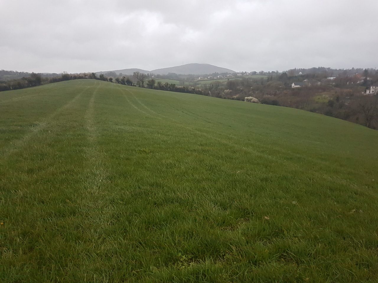
Field conditions
Soils are currently driest in the east of the country with soil moisture deficits of 5-10mm. Soils are saturated elsewhere, with poorly drained soils waterlogged.
Soil conditions will worsen over the coming week in all areas due to the rainfall. Some south-eastern parts will remain below saturation.
Meanwhile, it will be too windy for spraying over the coming days.