Week to start cold and turn unsettled with rain on the way

A frosty start to the coming week will give way to rain and unsettled conditions, according to Met Éireann.
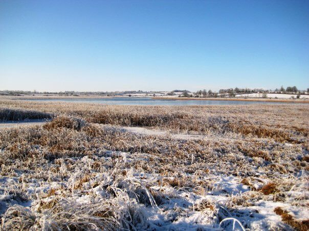
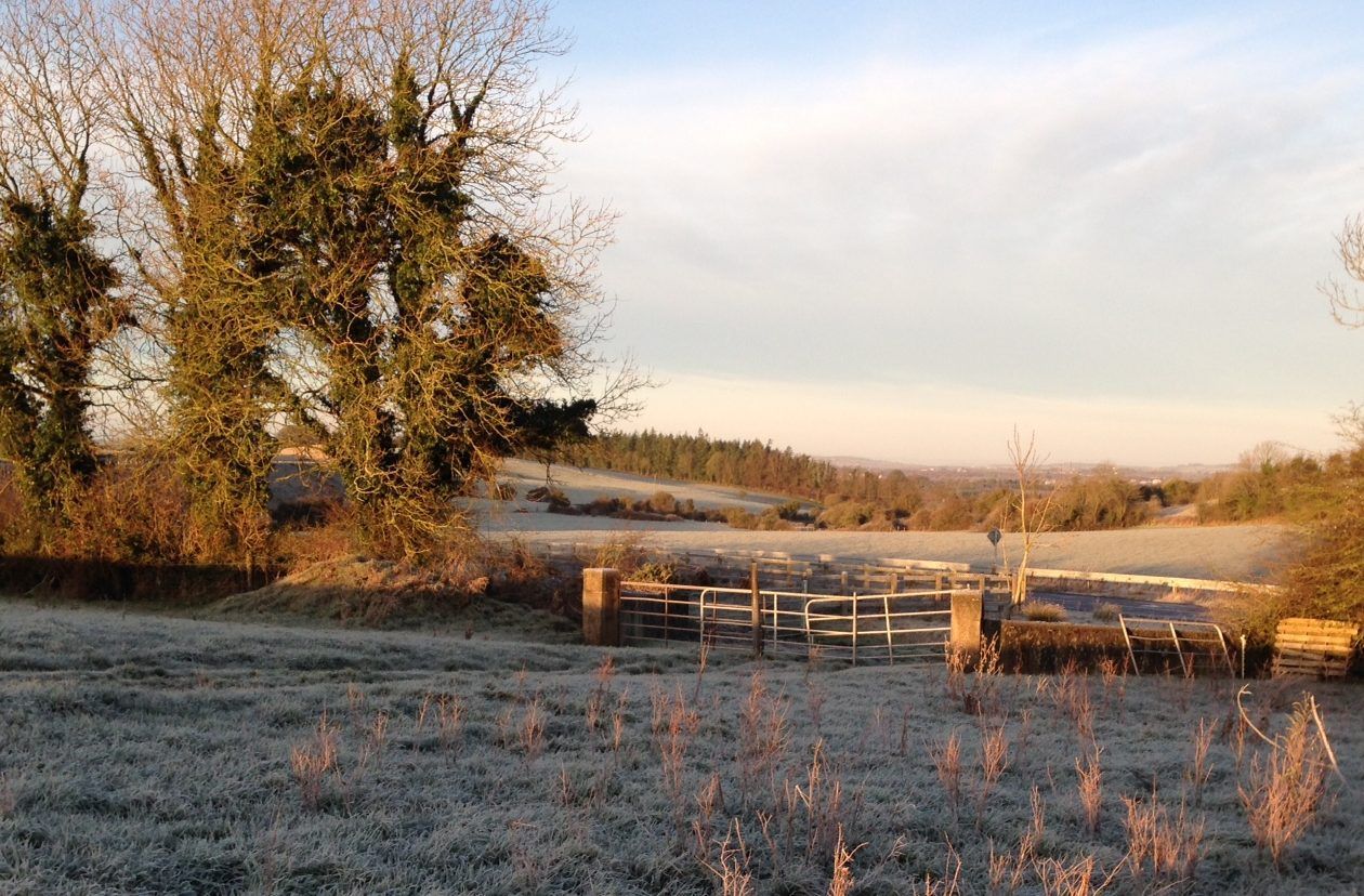
A bitterly cold and icy start to the week is being felt this morning with hazardous conditions on untreated surfaces and a Status Yellow low temperature warning in place until 10:00am.
Frost, ice and any patches of freezing fog will be slow to clear during the morning, the national meteorological office says.
Most of the country will be dry with spells of sunshine but there will be a few rain or hail showers in west Connacht and north Ulster.
After a very cold start, afternoon temperatures will range from 3° to 7° in light to moderate southwest breezes.
Tonight will see frost developing for a time early in the night in the north and east of the country.
Rain across the south and west will turn heavy and persistent early in the night, extending northeastwards over the country during the course of the night, the forecaster says.
The rain may be preceded by some sleet or snow for a time across Ulster. Minimum temperatures of -1° to 3°, occurring early in the night, but turning less cold in the south and west later with freshening southerly winds.
Tomorrow
A wet start is expected on Tuesday with outbreaks of rain and some wet snow on northern hills, according to Met Éireann.
Rain and hill snow will become confined to northeast Ulster during the afternoon as generally drier conditions develop elsewhere but remaining rather cloudy with a few patches of drizzle and mist.
Tomorrow night will be generally cloudy overnight with patchy rain and drizzle.
However, it will be drier and clearer across the far north of Ulster with a touch of frost possible.
Minimum temperatures of 1° to 4° are forecast across Ulster, ranging from 5° to 8° elsewhere.
Wednesday
It looks set to be an increasingly breezy day on Wednesday with outbreaks of rain extending northwards over the country, Met Éireann says.
Maximum temperatures of 3° to 6° are expected in Ulster but ranging 7° to 10° elsewhere with a fresh and gusty southeast wind.
It will be wet and breezy on Wednesday night with outbreaks of rain and minimum temperatures of 3° to 6° over north Ulster but 7° to 10° elsewhere.
Thursday
Outbreaks of rain are expected to clear from northeastern counties early on Thursday to leave a good deal of dry weather for a time, the national meteorological office notes.
However, a further spell of rain is forecast to develop in southern counties during the afternoon and evening.
Maximum temperatures will reach 8° to 11° in fresh southwest winds. Outbreaks of rain and drizzle in many areas are anticipated on Thursday night with minimum temperatures of 4° to 7°.
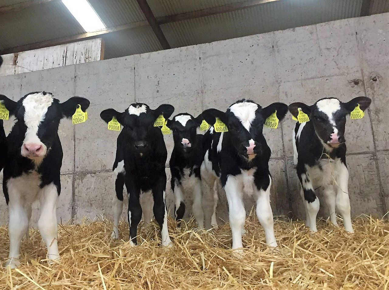
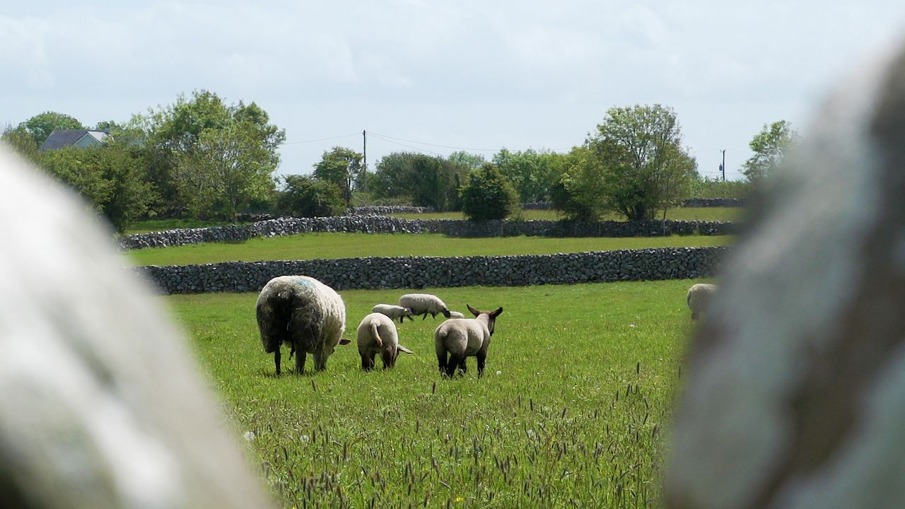
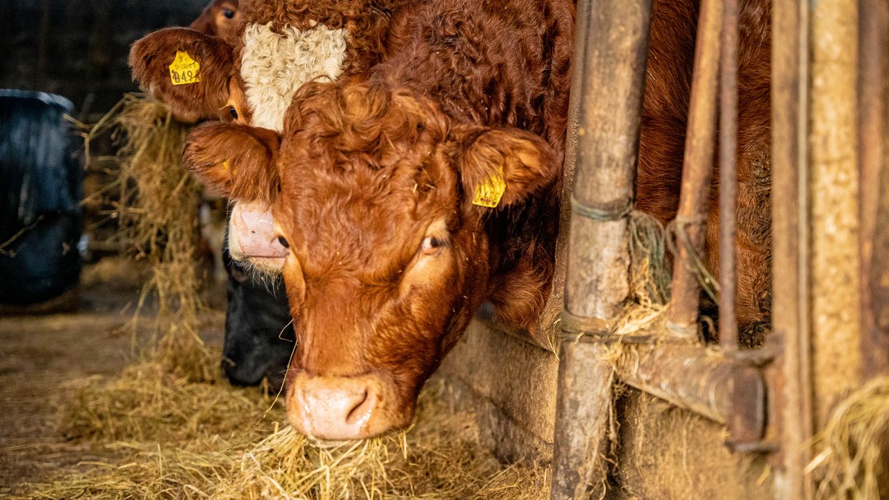
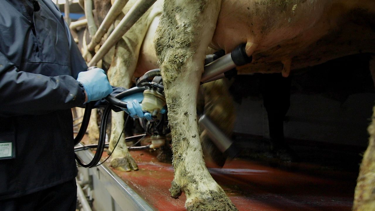
Farming and field conditions
Cold conditions to begin this week, followed by rain on most days from Tuesday onwards, will result in generally poor drying and spraying conditions.
Regarding field conditions, soils are currently saturated across the country, with poorly drained soils waterlogged.
Poor field trafficability can be expected, with a risk of some localised flooding mid to late next week, Met Éireann says.