Weather: Very warm days and nights this week


The weather this week will be very warm at day and night, with the likelihood of thundery showers in places, according to Met Éireann.
This morning (Monday, September 4), any overnight mist of fog will soon clear to leave another warm to very warm day with mostly sunny skies. Coastal fog may develop locally.
Top temperatures today will reach 22° to 26° in light easterly or variable breezes.
Tonight will be warm and humid with mostly clear skies. Later on, some showers may move into the southwest. Lowest temperatures will be 13° to 18° in just light easterly breezes. Some mist and fog may possibly develop across Ulster.
Tomorrow (Tuesday, September 5) will be another warm or very warm day. While it will be mostly sunny, a few well scattered showers are likely with the focus of these across the southwest and west.
Top temperatures tomorrow will be 22° to 26°, warmest away from east and south coasts, in no more than moderate easterly breezes.
Tomorrow night will be warm and muggy with temperatures of 14° to 17°, all in just light southeast breezes. While most areas will stay dry and clear, isolated showers may develop.
Weather on Wednesday (September 6) will not be quite as sunny as the preceding days, with cloud building at times, producing scattered showers, some of which may turn heavy.
Again, it will be very warm and humid, with top temperatures expected to stay between 22° and 26°, in no more than moderate southeasterly winds.
It will be warm and muggy again on Wednesday night, with temperatures not falling below 15° to 18° as a southerly airflow persists. Some thundery showers will occur, with the east and southeast most at risk.
Thursday (September 7) will see scattered heavy or thundery showers with warm or very warm sunshine at times too.
Top temperatures on Thursday are expected to be 20° to 26°, warmest in the east and northeast, in no more than moderate southwesterly breezes. There will be patchy rain and some mist in parts overnight, with lows of 13° to 18°.
On Friday (September 8), there will be a mix of cloudy weather and warm spells of sunshine. A few well scattered showers will occur, mainly confined to southern areas later.
Top temperatures will range from 19° to 24°, warmest away from western and northwestern areas, as light westerly breezes develop.
In its latest farming commentary, issued yesterday afternoon (Sunday, September 3), Met Éireann said that the drying conditions will be good or very good early in the week (after fog clears), but will become moderate later in the week, with the same holding true for spraying opportunities.
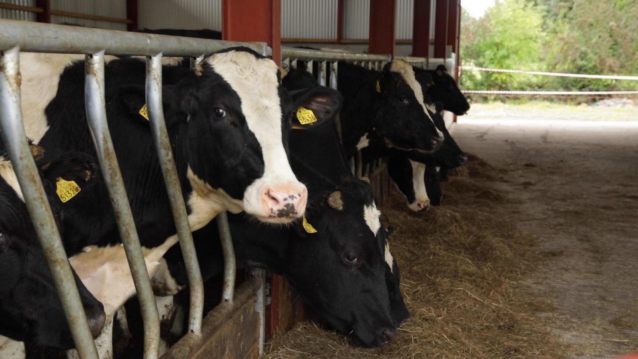
Currently, other than parts of the southeast where soil moisture deficits (SMDs) in all soils are 10 to 15mm, most poorly drained soils are saturated or, in some parts of the west midlands and the northwest, waterlogged.
Most well drained and moderately drained soils have 2mm to 8mm deficits. Over the coming week, SMDs are expected to increase, with deficits of generally 5mm to 30mm.
However, poorly drained soils in parts of southwest Ulster will just recover closer to saturated while moderately and well drained soils here will regain between 2mm and 4mm deficits.