Met Éireann: Warm weekend ahead but rain set to return


Met Éireann has said that the weather will be warm and mainly dry this weekend, but unsettled conditions are set to return next week.
Any patches of mist will clear early today (Friday, May 10) to leave warm and dry conditions, with good sunny spells.
Highest afternoon temperatures will reach 17° to 22°C in light to moderate southerly winds, feeling coolest along the south coast.
Tonight will stay dry with clear spells, patches of mist and fog will form in the light variable breezes. Lowest overnight temperatures of 7° to 10°.
Weekend
Saturday (May 11) will be another warm and dry day across the country, with sunny spells.
Cloud is set to build from the west later in the day bringing some showers to the northwest. Highest temperatures of 18° to 22° in moderate southerly winds.
Showers will develop on Saturday night, mainly in the western half of the country. Overnight lows of 9° to 12° in light variable breezes.
There will be a mixture of cloud and sunny breaks on Sunday (May 12), with showers and rain, some falls could be heavy and there is a chance of isolated thunderstorms in places. Highest temperatures of 15° to 19° in light, variable winds.
The showers will die out during Sunday night, but rain is set to push in from the southwest by morning. Lowest temperatures of 8° to 11°, winds will be light.
Further outbreaks of rain or showers are expected during Monday (May 12), heaviest in the east, with a risk of thunderstorms. Highest temperatures of 13° to 17° in light to moderate northerly winds.
A band of persistent rain will arrive in the east on Tuesday morning (May 13) and extend across the country. There will be a risk of localised flooding, particularly in Leinster.
It will be cooler than previous days in highest temperatures of 11° to 14° in moderate northwesterly winds.
The showers and cooler conditions are set to persist during Wednesday (May 14) and Thursday (May 15).
Met Éireann
Met Éireann has said that rainfall totals between Sunday and next Thursday will be above average, with close to 2 to 3 times the average in many areas, it will be closer to average along the south and west coasts.
The next seven days will bring average or slightly higher than average mean air temperatures overall.
Mean air temperatures will be up to 2° above normal in parts of the east and midlands, but closer to average elsewhere.
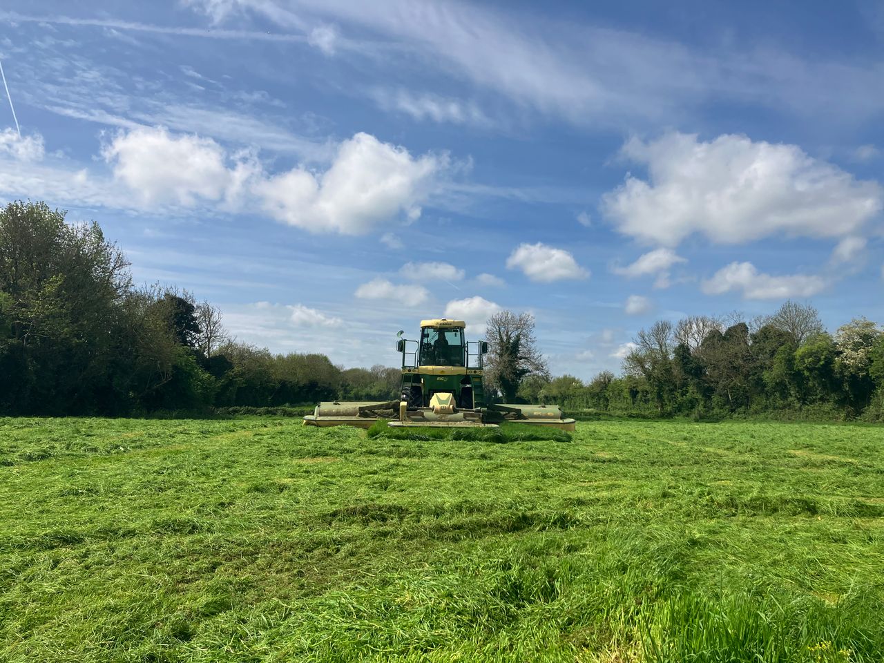
There will be good drying conditions over the coming days, but conditions will deteriorate from Sunday onwards. There will also be lots of spraying opportunities until Sunday.
Most soils are currently trafficable, but some poorly drained soils in the southeast are still saturated or close to it.
Soil conditions will deteriorate from Sunday onwards, with many moderately and poorly drained soils becoming waterlogged and some well drained soils becoming saturated.