Very unsettled week ahead with temperatures to drop

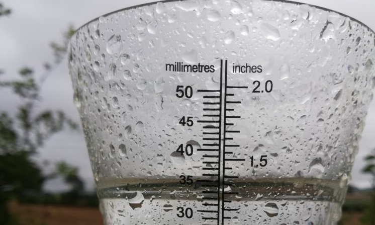
The coming days will be very unsettled, with frequent rain and colder temperatures later in the week, bringing with it some sleet and snow.
It will become overcast and misty today (Monday, January 18), with scattered outbreaks of light rain and drizzle in the southwest during the morning pushing northeastwards through the afternoon.
A band of heavier and more persistent rain will move into the southwest during the evening. It will be a cool start but becoming milder through the day, with highs of 5° in the north to 10° in the south by evening, in a light southerly breeze.
Tomorrow (Tuesday, January 19) will be a wet, breezy, murky day nationwide with heavy falls of rain across the northern half of the country bringing a risk of local flooding.
The rain will be less persistent further south but there will be some heavy outbreaks here too. It will be cool again in the north, with highs of only 4° or 5°, milder elsewhere with highs of 10° or 11°. Winds will be fresh southwesterly over the bulk of the country and strong on coasts, but turning northerly in the north and northwest.
Outbreaks of rain will continue in many areas overnight on Tuesday. However, a clearance from the northwest will mean much of Ulster and Connacht will be dry by morning, with patches of mist and fog developing.
Rain will become persistent again in the east and south, heavy at times, on Wednesday (January 20). It will be clearer in the northwest with showers. Northerly winds will mean a cold day overall, and it will become cold enough for the rain to increasingly turn to sleet through the afternoon and evening in the midlands, south and east, with snow on high ground.
It will be a cold day, with afternoon highs of just 3° to 5° in light northerly winds. The rain, sleet and snow will clear away eastwards on Wednesday night, with showers in the west and north. Frost will develop in lows of -1° to +2° during the night.
Thursday (January 21) will be a cold day, with bright spells in the south, but widespread showers over the northern half of the country. Some of the showers will have a wintry mix of hail and sleet at times. It will feel cold in a brisk northwest breeze, with highs of 4° to 6°.
Sunny spells and scattered showers will develop on Friday (January 22), but lighter winds will mean the showers remain largely in the northwest without getting too far inland. Again, some of the showers will be wintry, especially over high ground.
Highest temperatures on Friday will be just 3° to 5° in light westerly winds, while another sharp frost will develop on Friday night, with lowest values of -2° to +1°.