The use of GPS technologies within tillage systems


This week’s Tillage Edge podcast looks at the role of Global Positioning Satellite (GPS) technologies within arable systems and their specific use under Irish conditions.
Michael Hennessy, who heads up Teagasc’s Crops Knowledge Transfer Department, spoke to Craig England, a technician with Topcon GB and Ireland.
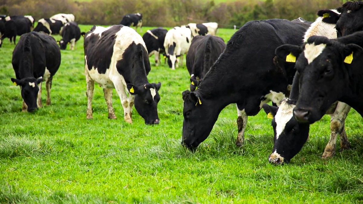
According to Hennessy, tillage farmers tend to be one of the best groups within agriculture to adopt new technologies.
“We only have to look at the use of new crop varieties or the uptake of new chemistries to improve weed and disease control in this context," he said.
“Similarly with machines, with each year that passes, new tractors and sprayers are coming forward with a host of new technologies.
GPS and fertiliser application
According to Craig England, GPS systems were initially used in Ireland to improve fertiliser spreading efficiency levels.
“Marking out the fields is the important first step in all instances. Beyond this, entry level technologies were providing farmers with a visual aid, in terms of fertiliser spreading," he said.
Today, however, GPS systems can actually talk to the spreader.
“This is particularly so on area like headlands, where overlapping can be dramatically reduced. As a result, we don’t see lodging on headlands anymore.”
Smartphones
England confirmed that all smart phones now have their own GPS systems built into them.
"They are accurate to around 5–7m. But this is not accurate enough to facilitate any form of agricultural system," he continued.
"This is in communication with up to 38 satellites on a second-by-second basis. In tandem with this, the monitor in the cab is doing its location calculations, again on a second-by-second basis.”
England pointed out that the end result of these computations is an accuracy of location for the machine in question down to 30cm.
"There is now a growing range of technologies, which can facilitate wide range of field operations carried out by farmers and contractors.”