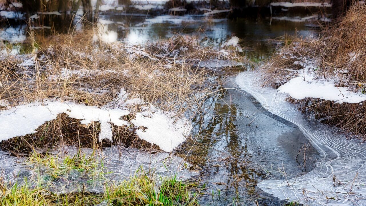
Status Orange weather warning for severe frost and ice issued

A Status Orange weather warning for low temperatures and ice issued by Met Éireann will affect several counties from tomorrow (Wednesday, December 14).
Temperatures are expected to drop below -5° on Wednesday night, leading to severe frost and ice between 6:00p.m tomorrow and 12:00p.m on Thursday (December 15).
Counties affected are: Carlow; Kildare; Kilkenny; Laois; Longford; Louth; Meath; Offaly; Westmeath; Cavan; Monaghan; Clare; Cork; Kerry; Limerick; Tipperary; Galway; Leitrim; and Roscommon.
Meanwhile, a nationwide Status Yellow low temperature and ice warning is currently in place as it will remain very cold through the week with widespread sharp to severe frosts and icy stretches.
The national forecaster has warned of some showers of hail, sleet and snow mainly near coasts and freezing fog which will occur at times.
The nationwide Status Yellow warning will remain in place until 12:00p.m on Friday (December 16), with possible impacts including:
Counties Antrim, Down and Derry are also currently affected by a Status Yellow ice warning until 12:00p.m tomorrow as showers of sleet and snow will bring the risk of some slippery surfaces.
Weather forecast
Tonight will be very cold but generally dry with just a chance of isolated wintry showers near coasts. Widespread frost and ice are expected with minimum temperatures of -5° to +1° with light to moderate northeasterly winds.
Tomorrow will be generally dry with a good deal of crisp winter sunshine and just a chance of isolated wintry showers near coasts. Highest temperatures will remain from 1° to 5° in mainly light northerly breezes.
Another very cold, frosty night is expected tomorrow night with lows of -6° to 0°. It will remain generally clear and dry with light northerly breezes and just isolated wintry showers in the north and northwest.
Thursday will be largely dry and bright with afternoon temperatures of 2° to 5°. Occasional wintry showers will continue in the north and northwest and northwesterly breezes will be light.
On Friday, showers of rain and sleet will become slightly more widespread, although much of the midlands, south and east will remain dry. Highest temperatures will range from 3° to 6° in light southwesterly breezes.