Met Éireann: Rainfall warning for Munster and Galway

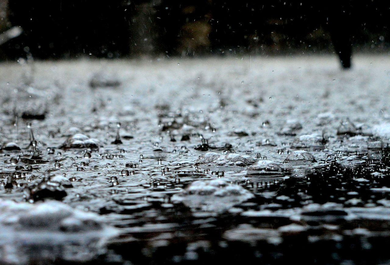
Met Éireann has issued a Status Yellow weather warning for rain in Munster and Co. Galway for tomorrow (Tuesday, January 10).
The national forecaster has said that the heavy spells of rain overnight will continue during the day tomorrow and will lead to spot flooding in some areas.
The warning, which will come into force at 3:00a.m on Tuesday, applies to counties Clare; Cork; Galway; Kerry; Limerick; Tipperary; and Waterford.
The weather alert is set to remain in place until 3:00p.m on Tuesday.
A Status Yellow gale warning that is currently in place from Roche's Point to Rossan Point to Howth Head and on the Irish Sea North of Anglesey will be extended to all coastal waters from midnight.
Met Éireann
Meanwhile, the forecast for today is for blustery conditions across the country with some scattered showers and sunny spells.
The showers will become mostly confined to the northern half of the country in the afternoon, before largely dying out this evening.
Fresh to strong and gusty westerly winds will ease later in the day, with highest temperatures of 6° to 9°.
It will be dry with clear spells early tonight and winds will be light. However, cloud is set to build overnight bringing a band of rain from the southwest which will push northeastwards to all areas by morning and turning heavy at times.
Southerly winds will increase fresh to strong and gusty with the rain. Lowest temperatures will be 1° to 4°, but turning much milder by dawn.
Tuesday will be dull, wet and windy, with widespread rain and fresh to strong southwesterly winds.
The rain will clear into the Irish Sea in the evening, with clear spells and showers following from the west. It will be mild, with highest temperatures of 10° to 13°.
Tuesday night will be breezy with clear spells and scattered showers, most frequent over the western half of the country with the chance of isolated hail.
Lowest temperatures are expected to be 3° to 6° in fresh southwesterly winds, strong on Atlantic coasts.