Met Éireann issues thunderstorm warning for today

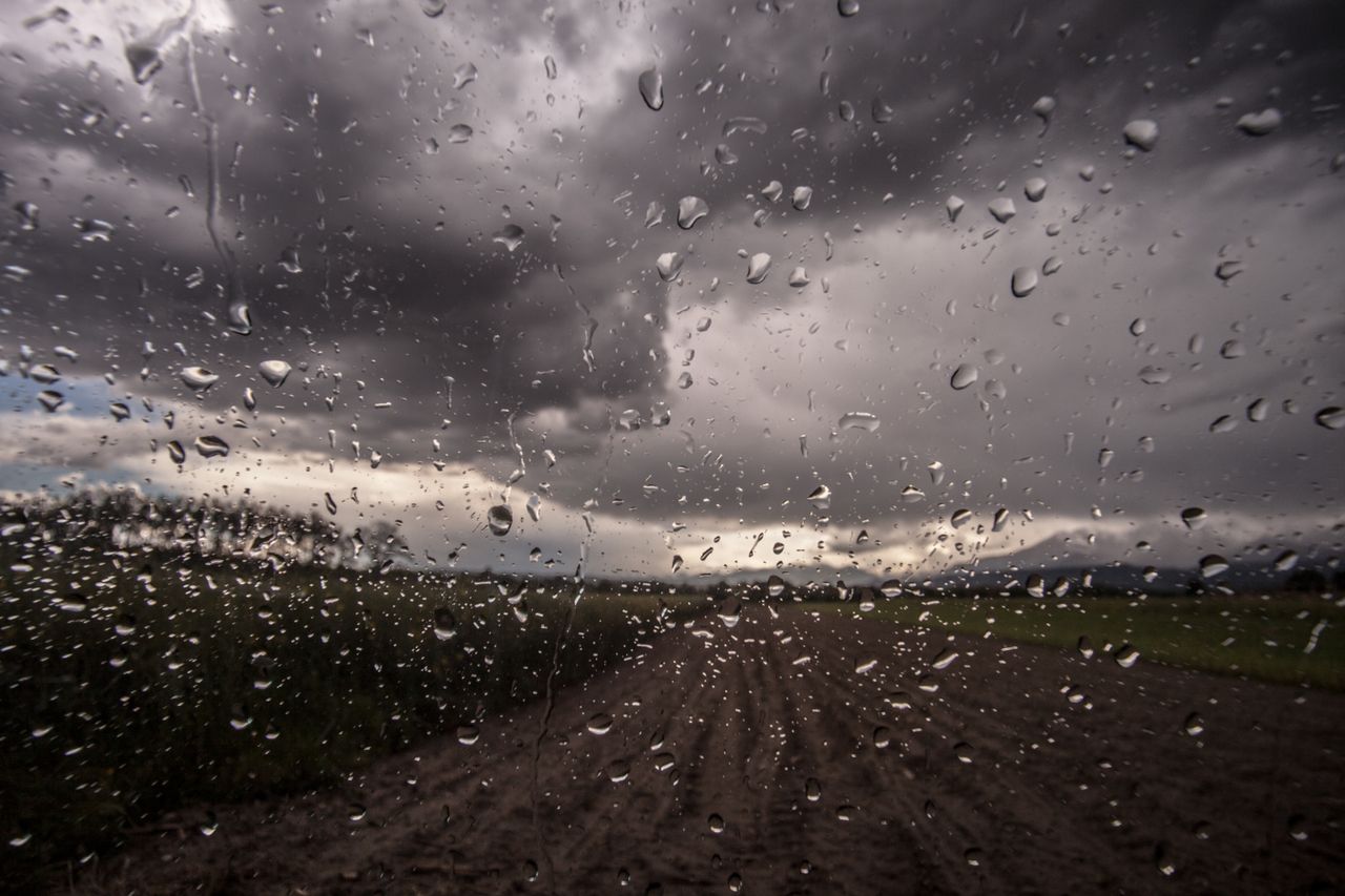
Met Éireann has issued a Status Yellow thunderstorm warning for Leinster, Munster and counties Cavan, Monaghan and Donegal.
The warning is in place from 1:00pm this afternoon (Wednesday, May 12) until 10:00pm tonight. Met Éireann has warned of scattered thunderstorms this afternoon and evening, with a risk of hail and localised spot flooding.
Tonight will become mainly dry with some clear spells, though there will be a scattering of showers around, mainly in parts of the west and northwest if the country.
There will be lowest temperatures of 1° to 5° in mostly light variable breezes, with some mist and fog patches forming.
Met Éireann expects further thunderstorms
Tomorrow morning (Thursday) is expected to bring some sunshine and scattered showers, mainly in western parts at first.
However, the showers will become more widespread by the afternoon and many will be heavy and of hail.
There will be some thunderstorms too and a risk of spot flooding, especially in parts of the midlands, north and east.
Thursday night will become mostly dry with clear spells and a few scattered showers. Showers may become more frequent on the east coast later in the night.
Weekend weather
Friday will start mostly dry, with sunny spells and showers. The showers will be mostly over the northern half of the country where some will turn heavy in the afternoon.
Cloud will steadily increase from the southwest early in the day, with rain arriving onto the southwest coast by late afternoon.
Rain will move northwards into Munster and Connacht through the evening. Rain is expected to extend to all areas on Friday night.
Rain and cloud will clear northeastwards on Saturday morning with sunny spells and showers following. Showers will become widespread on Saturday afternoon, and heavy at times with the risk of hail and thundery downpours.
Sunday will bring another day of sunny spells and showers. Again, the showers will be heavy at times in the afternoon, with the risk of hail and thunder.