Weekend weather: Cool and unsettled with some showers


The weekend weather forecast indicates that conditions will remain unsettled for the final days of April with showers or rain at times.
Starting with today (Friday, April 26), Met Éireann has said that lingering rain and cloud will clear the south through the morning.
Otherwise it will be bright and manly dry elsewhere with showers feeding into the north through the morning.
There will be some sunny spells for the afternoon and evening with well scattered showers, some heavy.
The best of the sunshine will be in the east later on with highest temperatures of 8° to 11° in a light to moderate north-easterly breeze.
Showers will die away early on tonight with long clear spells following. It will be cold with lowest temperatures of -1° to 3° with a touch of frost.
Patches of mist and fog may form in light northerly breezes.
Weekend weather
Saturday will be a cool day with sunny spells. It will start off mainly dry apart from isolated showers in the east and north-west.
Through the day those showers will become more scattered, feeding in over the country, in a light to moderate north-easterly breeze. Highest temperatures will range from 9° to 12°, mildest in the west.
The national forecaster has said that any showers will die out and it will become mainly dry and chilly on Saturday night with clear spells in a light north-west or variable breeze.
Lowest temperatures on Saturday night will range from -1° to +3° with some grass frost forming where its coolest in the north.
On Sunday, there is expected to be sunny spells and scattered showers feeding in from the west through the day.
Cloud will build from the Atlantic towards evening and it will be fairly cool again with highest temperatures of 9° to 12° with light north-west to west winds.
On Sunday night, scattered showers will ease for a time with cloud continuing to increase from the Atlantic overnight.
Outbreaks of rain will develop in the west and spreading eastwards overnight. Some locally heavy falls are expected on higher ground in the west and south-west.
Light to moderate winds will back southerly with lowest air temperatures of 3° to 7° with occasional mist.
Next week
It is forecast to be a wet and cloudy day Monday. Widespread outbreaks of rain, heavy at times, will spread across the whole country through the morning.
Showers will follow the clearance in the west through the evening with highest temperatures of 9° to 12°. Mainly moderate southerly winds will ease light and veer westerly following the clearance of the rain.
On Monday night, rain will clear eastwards through the night but will linger on eastern coasts. There will be scattered showers elsewhere with some clearer spells.
Mist and fog patches are also possible with lowest air temperatures of 3° to 7° and light southerly winds.
The current indications suggest another wet day Tuesday with further spells of rain, heavy at times in the south and highest temperatures of 9° to 13° with light to moderate west to south-west winds.
Farming outlook
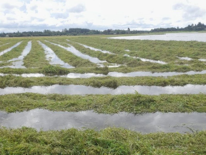
Rainfall totals over the next seven days will range from 15mm in the north to 35mm in the south. This equates to 100% to 250% of average.
For the past week, sunshine amounts have been well above average, ranging from 100% to 160% of average.
The next seven days will likely bring near average sunshine amounts as the settled spell of weather gives way to more unsettled conditions, according to Met Éireann.
With light to moderate manly northerly breezes, there will be some decent opportunities for spraying today (Friday) and over the weekend although there will be some showers. Early next week, spraying conditions will be limited.
The mainly dry weather over the past week has improved soil trafficability significantly. Soil moisture deficits currently range from 5mm in the north-east to 21mm in the south and south-west.
Soil trafficability will continue to improve on Friday and over the weekend. However, it will deteriorate early next week.