How can farmers assess their water pollution risk?

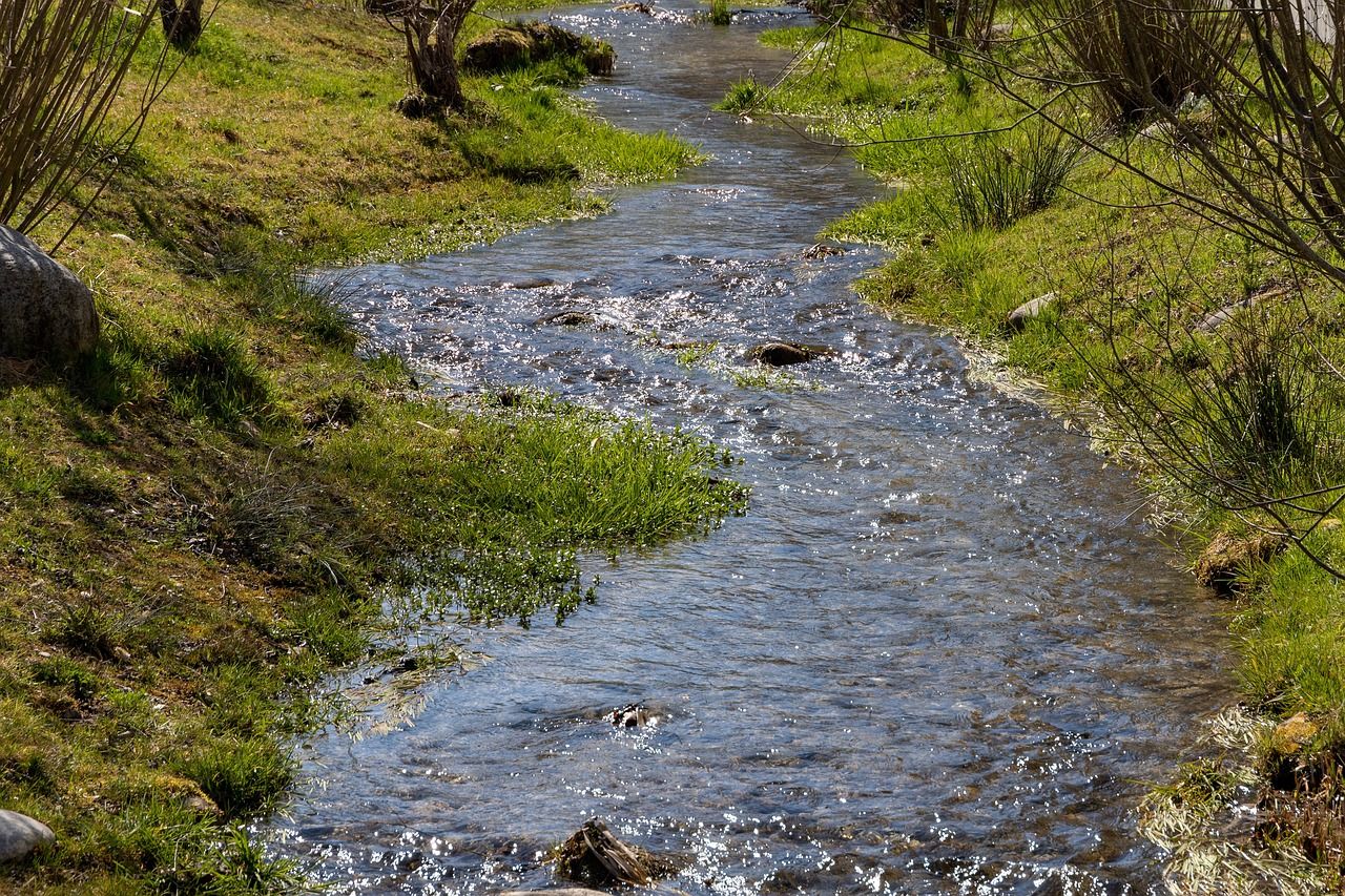
Irish farms are required to comply with strict water quality regulations, but what tools are available to help farmers monitor quality on their holdings and avoid pollution issues?
The Tipperary dairy calf-to-beef demonstration farm, Ballyvadin Beef Farm Ltd, in Fethard, Co. Tipperary is located in the Suir catchment area, an area that has faced significant water quality issues, and continues to require improvements in quality.
At its recent open day, attending farmers were reminded of the need to consider the environmental impact of any decisions they make and shown how to assess the pollution potential of these decisions.
The demo farm is located on the Clashawley river, which has a 'moderate' score for water quality; however, this has decreased from 'good' in 2015.
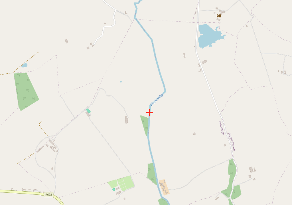
Ballyvadin Farm has taken measures such as the introduction of permanent buffers near waterways (3m) to reduce water pollution from nitrates and phosphorus leaching and run-off.
Farmers who attended the open day will also have noticed the large hedge network, with hedges cut in A-shapes, as opposed to the box-cutting that dominates traditional approachs.
The farm yard is also designed to prevent sediment running off into dykes during winter. Concrete bridges over dykes from the yard to the fields has a 'lip' to prevent run-off.
ASSAP inspections
Speaking at the open day, Agricultural Sustainability Support and Advisory Programme (ASSAP) adviser Claire Mooney outlined how farmers can avail of a free ASSAP "inspection".
The programme is free to farmers and sends an adviser out to a farm on a strictly confidential basis, so the farmer can receive direct tailored advice on how to provide benefits to the environment.
The programme is voluntary, and farmers can sign up with local ASSAP advisers or speak to their regional Teagasc offices or with participating co-ops.
PIP maps
Another key learning from the day was the availability of Pollution Impact Potential (PIP) maps, which farmers can use to inform decisions.
The PIP maps are free of charge, and available to farmers on the catchments.ie website.
Farmers can use the 'Pressure and Activity' section on the top tool bar to select PIP maps for nitrogen and phosphorus.
This will enable farmers to identify high risk areas for leaching and run-off.
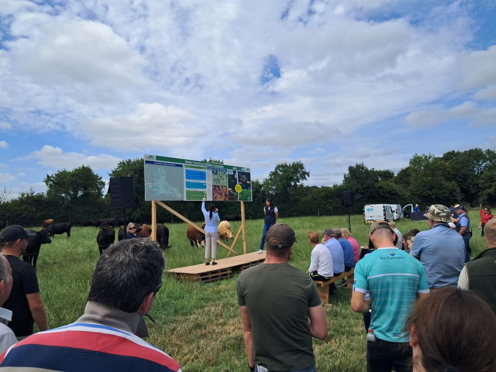
As farmers may be tempted to rush in with fertiliser when rain arrives, they should first consult the PIP map.
Any leaching and run-off would not only damage water quality on the farm, but will also mean the farmer loses money on expensive and limited fertiliser applications.
PIP maps can be used by farmers in conjunction with advisers to address local challenges improving the local ecosystem and habitat quality.
Ballyvadin Farm is the result of a collaboration by Teagasc, Dawn Meats and Shinagh Estates and has been operating since 2022, with its first batch of calves purchased in 2023.
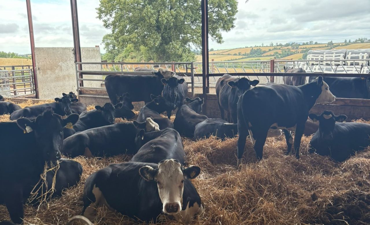
The farm purchases in calves and raises them to between 19-24 months, with nearly 900 animals on farm at its peak.