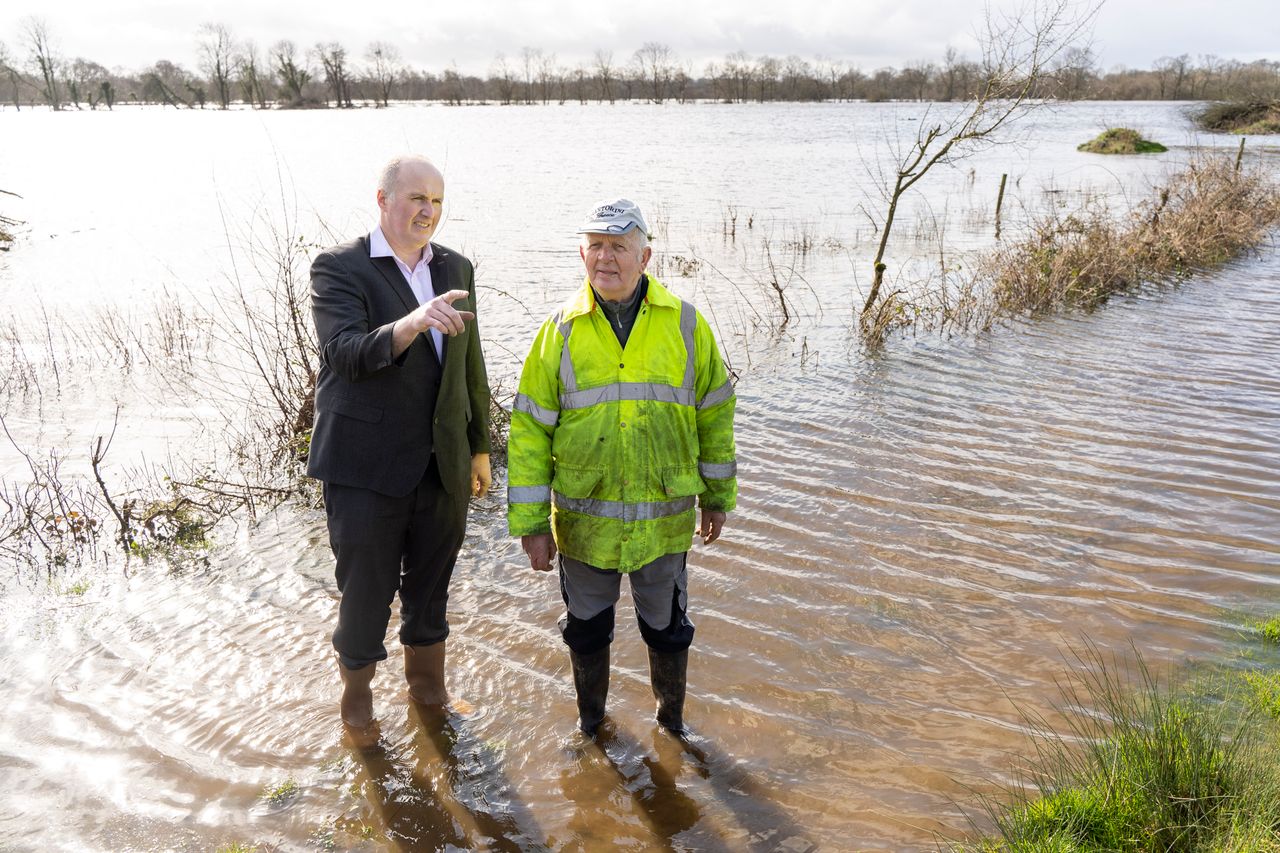
Flooded fields won't be worked for some time

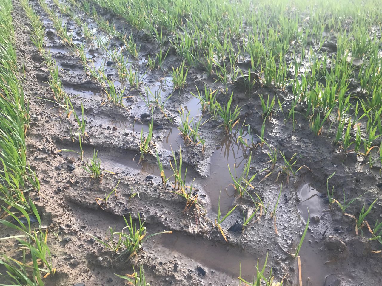
The continuous rain and flooding of recent days, weeks and months has left ground in unworkable condition.
No prizes will be given out for stating that fact, as floods are visible across the country – ploughs are parked up, seed is sitting in sheds, animals are housed, slurry storage is under pressure and farmers are waiting for dry weeks to come.
All soils are at field capacity from well to poorly drained. This in itself is a fairly unusual occurrence as the well-drained map usually has a few areas which stay in deficit – even if only slightly.
However, that map was reading 0 (field capacity) across the country on Sunday, February 23, and more rain followed that night with 25mm expected in parts. The map will be updated to Monday’s figures on Tuesday.
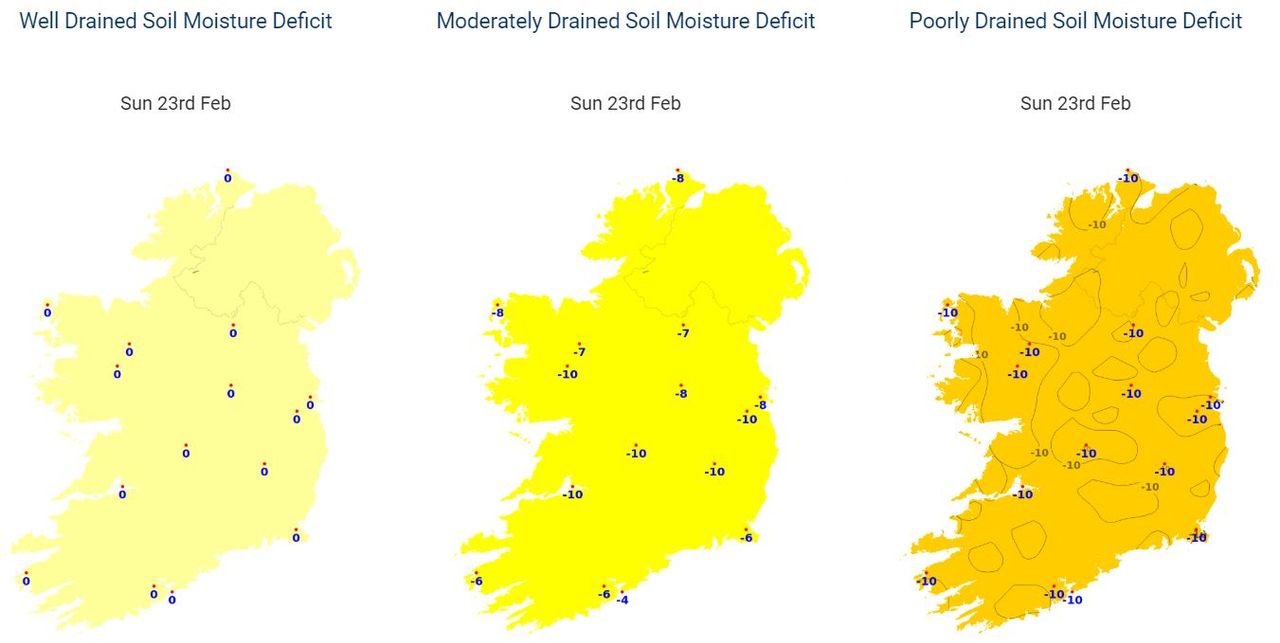
Much of the moderately-drained soils are reading at -10 (saturation point), particularly around the midlands. The lowest readings on this soil type were on the south coast. Roches Point had a SMD reading of -4 (4mm over field capacity).
Poorly-drained soils are at saturation point (-10) all over the country.