Farmers urged to take part in new national deer-monitoring programme

A nationally coordinated initiative to monitor deer in Ireland, involving a new smartphone app and a web-based survey, has been launched.
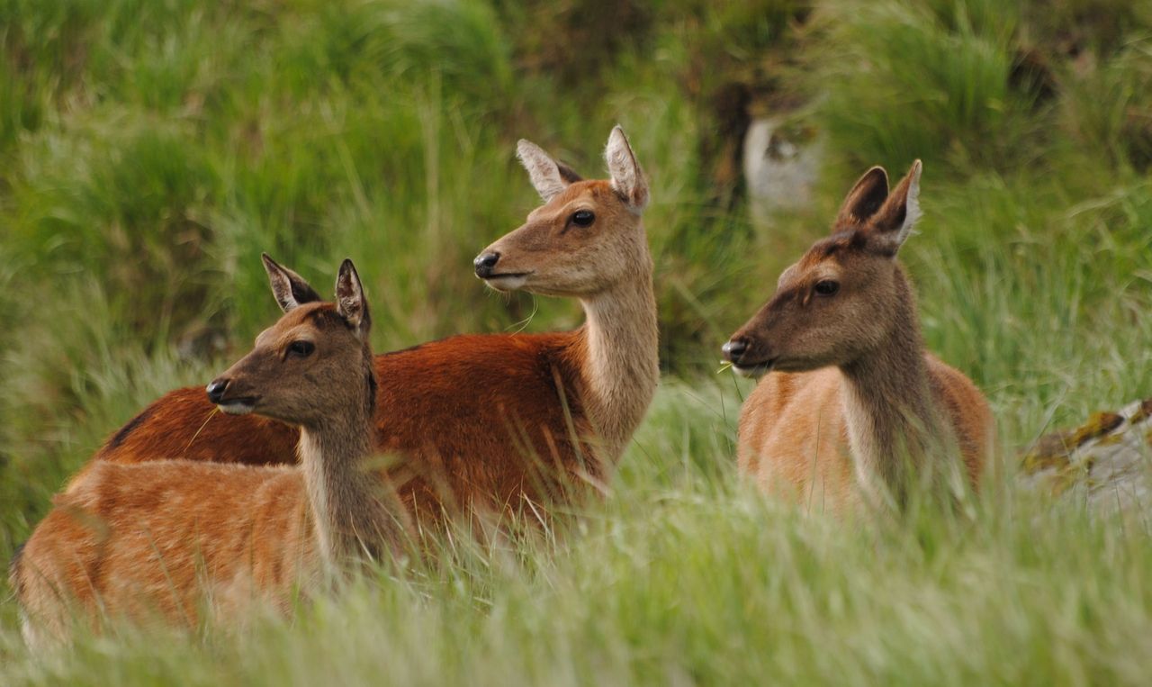
The SmartDeer project, funded by the Department of Agriculture, Food and the Marine (DAFM) and led by University College Dublin (UCD), sets about collecting and analysing real-time data relating to the Irish deer population.
The project will facilitate the production of up-to-date distribution maps and introduce new cost-effective tools that can guarantee nationally-coordinated data collection for years to come.
Surprisingly, a coordinated approach has never been applied to monitoring deer distribution and density in Ireland, until now.
"The data that does exist is collected locally and in various formats," project lead, Dr. Simone Ciuti, UCD assistant professor of wildlife biology, told Agriland.
"But there are no up-to-date distribution maps or information about deer density. The information is fragmented," he added.
This scattered knowledge means that any challenges posed by the deer population cannot be adequately planned for, or managed.
“The project will help us to monitor the status and health of our deer populations and to face upcoming challenges of deer management under climate and land-use change scenarios.”
For the farming community, this is crucial.
Sika TB link
Researchers from Trinity College Dublin (TCD) and the National Parks and Wildlife Service with support from the DAFM, recently published research suggesting that growing populations of Sika deer may be linked to local outbreaks of bovine tuberculosis (bTB) in cattle in the Republic of Ireland.
'Bovine Tuberculosis: The Emergence of a New Wildlife Maintenance Host in Ireland' was published in the journal Frontiers in Veterinary Science and found that host population density was a “key driver” of TB transmission rates and the size of hosts’ social groups can create opportunities for cross-species disease transmission.
Farmers encouraged to take part
Farming organisations have been calling for greater action to be taken by the DAFM to deal with the current situation, as greater numbers of deer are reported to be present on farms in certain parts of the country.
But farmers themselves can now take action by contributing to this new monitoring system, according to the researchers.
Due to the very nature of their work, farmers can provide real-time information on sightings and numbers of deer on their farms.
"There is still very little known about the role of wildlife and TB," said Dr. Ciuti.
"We know that the deer is a host, but this will be the first time that bTB in deer can be monitored in real time - that is important.
However, he pointed out, this is not a TB project, it is an assessment of the deer population.
Data-gathering tools
The SmartDeer monitoring programme's information-gathering techniques comprises:
Sensitive data - protected data
Deer data shared by farmers will be protected by data sharing agreements - farmers will remain anonymous and their privacy will be respected.
A number of workshops will take place in the coming weeks, according to Dr. Ciuti, to demonstrate the SmartDeer app to farmers and explain more about the project.
If you would like further information, Dr. Ciuti can be contacted at: [email protected]
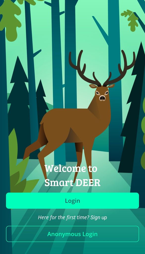
To participate, users need only download the SmartDeer app from Google Play and App store, and visit here to complete the National Mapping Survey.