Weekend weather: Unsettled with sunshine and showers

The weekend weather forecast from Met Éireann indicates that the weekend will bring unsettled conditions with sunshine and showers owing to a "mobile Atlantic regime".
Starting with today (Friday, September 22), it will be a fresh day with sunny spells and scattered passing showers - most frequent and heavy across the north and north-east.
The showers will gradually clear away into the Irish Sea during the afternoon, with sunnier skies developing more widely from the west.
Rather brisk northwest winds will ease through the day too with highest temperatures of 12° to 15°C.
Tonight will be dry, calm and clear, though some mist and fog patches will set in too. It is expected to be a rather cold night with lowest temperatures of 1° to 7°.
Weekend weather
Tomorrow, Saturday will start largely dry with some sunny spells, however an early brightness will be replaced by wet and breezy weather, as it gradually moves up from the south-west of the country.
Highest temperatures will range from 14° to 17° with mostly fresh and gusty south to south-east winds.
Saturday night is forecast to be wet at first with the possibility of further falls of rain later, especially in the south. Lowest temperatures will be from 11° to 14° in moderate to fresh southerly winds.
On Sunday, scattered outbreaks of rain will become more widespread and persistent with some very heavy falls, leading to localised flooding.
The national forecaster has said that it will be blustery too in fresh to strong and gusty southerly winds with highest temperatures of 17° to 19°.
It will become drier overnight on Sunday, though some showers will feed in later off the Atlantic.
Next week
Monday looks set to bring some sunny spells but with passing blustery showers too, most frequent closer to the Atlantic.
Highest temperatures on Monday will range from 16° to 19° in fresh and gusty southwest winds.
There is some uncertainty about the forecast for Tuesday, but current inductions suggest it will be a wet day with heavy spells of rain, later clearing to sunny spells and well scattered showers.
Highest temperatures on Tuesday are expected to range from 14° to 18°, in mostly moderate southerly winds.
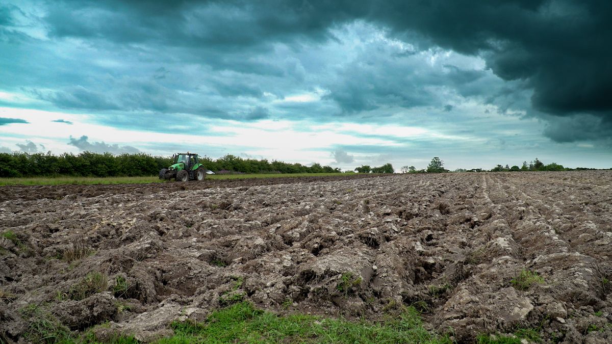
Farming
According to Met Éireann, the past seven days were much wetter than average, especially across the east and south of the country.
The south-eastern half of the country generally had the largest amounts, ranging from 60mm to 80mm.
Drying conditions will be limited due to spells of rain or showers. The best opportunity looks to be this afternoon (Friday) as showers become more isolated and winds will ease.
A potato blight advisory is currently in effect as weather conditions conducive to the spread of potato blight will affect all regions from Sunday morning, September 24 to Monday afternoon, September 25.