Weekend weather: Unsettled with heavy showers in some areas

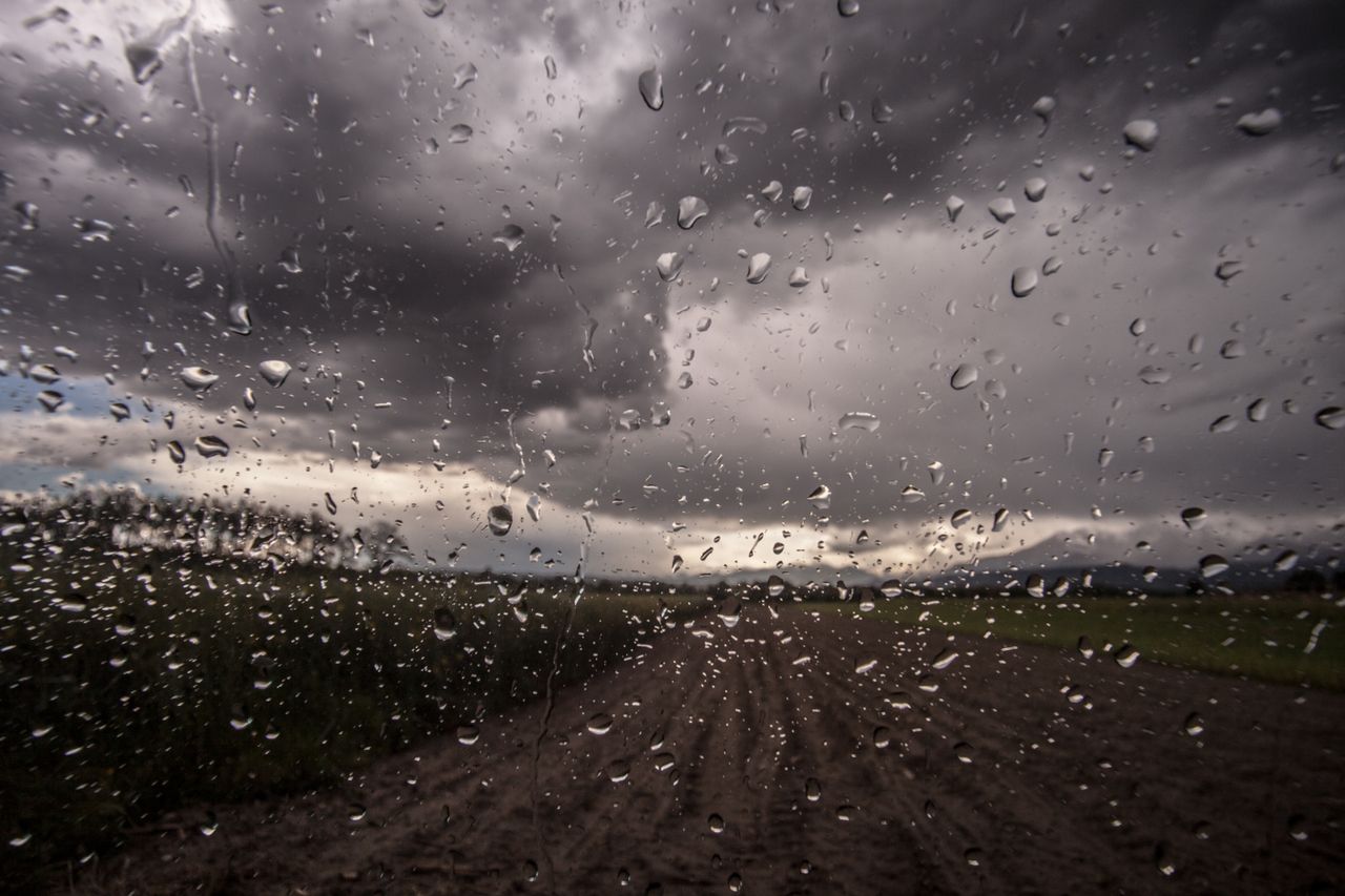
The weekend weather looks set to remain unsettled with heavy downpours expected in some parts of the country with Status Yellow warnings in place for some areas today.
Met Éireann has forecast a wet and blustery day today, Friday, July 14. Bands of rain, heavy at times, will spread across the country this morning, bringing the risk of localised flooding.
By this afternoon the rain will begin to clear away from the south but isolated showers, possibly heavy and thundery at times, will linger.
Easterly winds will be fresh and gusty then later change south-westerly as the rain clears. Highest temperatures today are expected to range from 13° to 19°C.
There is currently a Status Yellow rain warning in place for Leinster, Cavan, Monaghan, Munster, and Connacht, which will remain in place until 7:00p.m today (Friday).
According to Met Éireann, the possible impacts of heavy rain today include localised flooding, poor visibility and difficult travelling conditions.
A Status Yellow rain warning will also come into effect for Donegal at 12noon today and will remain in place until midnight.
Generally, bands of rain will continue to move over northern counties tonight, followed by isolated showers in the south.
Some clear and dry spells will develop in the south and east overnight as showers die out. There will be gusty south-westerly winds but fresh to strong easterlies in the north.
Lowest temperatures tonight will range from 10° to 13°.
Weekend weather
Tomorrow, Saturday will be a blustery day with widespread showers, some heavy at times.
Fresh to strong westerly winds will continue through the day and will be strong at times especially near the coasts with highest temperatures of 15° to 19°.
Saturday night will be wet and windy with widespread showers across the country, where some will be heavy and possibly thundery in the south.
It will be breezy too with fresh to strong west to northwest winds and overnight lows of 9° to 12°.
It is expected to stay wet and rather windy on Sunday as showers continue to feed in across the country.
Some of the showers will be heavy and thundery during Sunday afternoon and evening. Staying windy too with moderate to fresh westerlies and highest temperatures of 15° to 19°.
The showers will gradually become isolated later in the evening with some clear and dry spells developing in the east. Westerly breezes will slowly weaken with lowest temperatures of 8° to 10°.
Outlook for next week
Monday is expected to be a cloudy day with isolated showers to begin. Showers becoming more widespread as the day progresses with limited sunny spells. Highest temperatures of 15° to 18° with light winds.
Showers will slowly clear later Monday evening with good clear and dry spells developing. Winds will fall light overnight too with lowest temperatures of 8° to 12°.
Rain will move over southern counties towards dawn together with strengthening easterly winds.
Tuesday is set to be wet and breezy across southern counties during the morning but elsewhere it will be a mix of cloud and isolated showers. Winds will be generally light across northern areas too with highs of 15° to 19°.
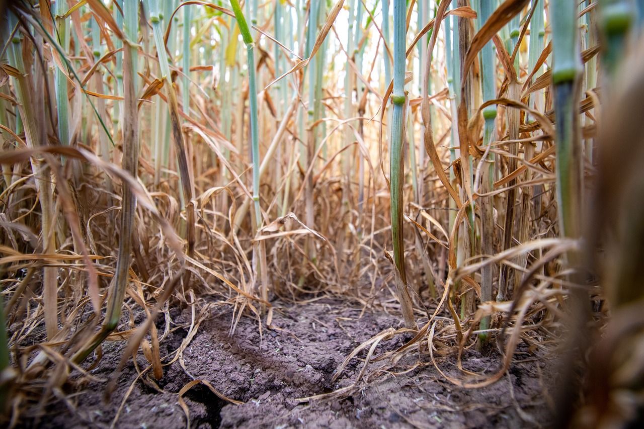
Field conditions
Soil moisture deficits (SMDs) across most soils currently range from -5mm to 45mm, highest in the east where there is some restriction to growth.
However, soils in the far southwest and in parts of the midlands and west Ulster are saturated or waterlogged.
With higher than normal rainfall in most areas expected over the coming week, SMDs may become closer to saturated or waterlogged in all areas apart from the southeast.
SMDs in the southeast, will continue to restrict growth, ranging between 20mm and 30mm generally.
Meanwhile, weather conditions suitable for the spread of potato blight will develop today, Friday, and will continue for much of the weekend.