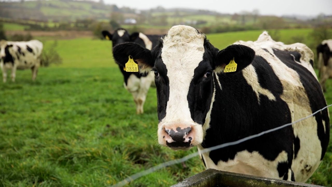
Weekend weather: Turning milder with blustery rain

The weekend weather forecast indicates an end to the current icy conditions and a return to milder temperatures with bands of blustery rain to move in from the Atlantic.
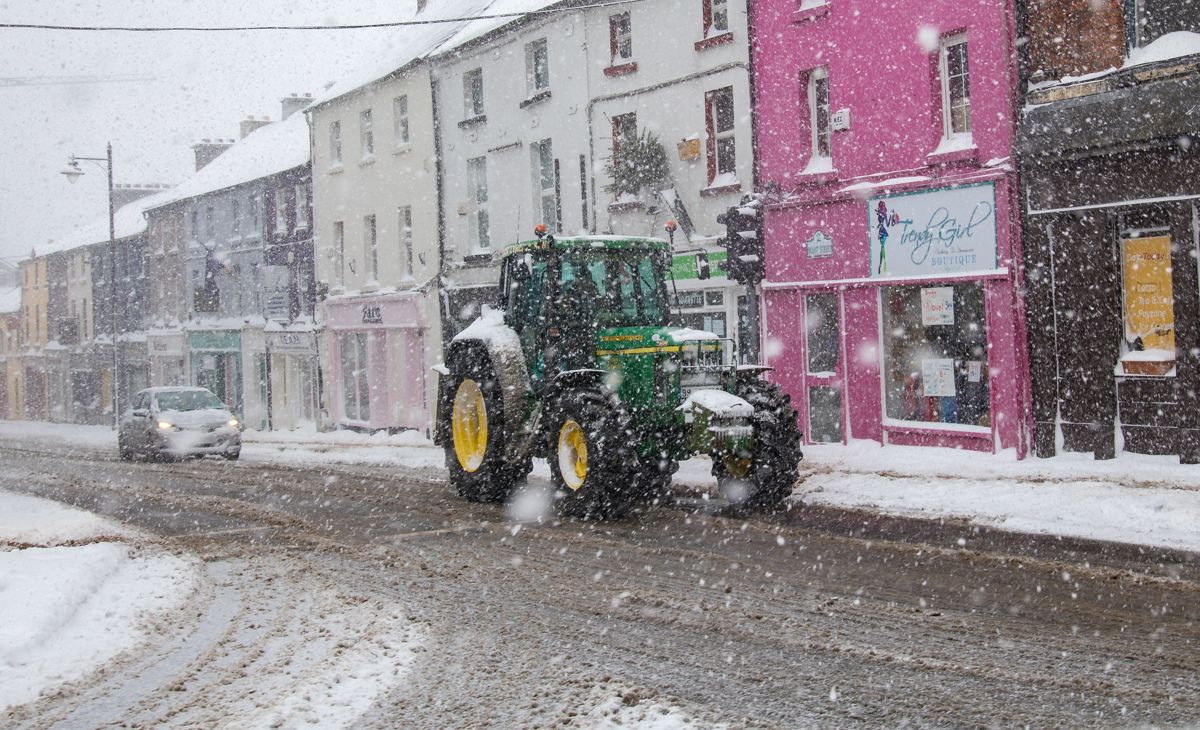
Starting with today (Friday, March 10), Met Éireann has said that it will be icy in places this morning with rain, sleet and snow in the east to start quickly clearing into the Irish Sea, leaving a cold and generally dry day with sunny spells.
It will be cloudier in the southwest with isolated showers and some showers of rain and sleet are possible on northern coasts. Daytime temperatures today will range from 4-7°C in a light variable breeze.
Tonight will start dry with clear spells for many. However, cloud will gradually thicken from the southwest, with rain pushing into Munster, west Connacht and south Leinster.
The rain will fall as a mix of sleet and snow in places. Lowest temperatures tonight are expected to range from -5° to 0°, colder locally in the northeast where skies remain clear the longest. Generally, winds will be light to moderate southeasterly.
Weekend weather forecast
Tomorrow morning (Saturday, March 11), rain, sleet and snow will spread northeastwards to all areas, with some small accumulations possible in parts of Connacht, Ulster and Leinster.
Rain will clear to scattered showers in the west and southwest through the afternoon and evening. It will be cold in Ulster, Connacht and Leinster with afternoon highs of 1° to 5°.
It will gradually turn milder in the southwest once the rain clears with highs of 9° to 11°. Moderate to fresh southeasterly winds will also prevail.
On Saturday night, any remaining rain and sleet will clear to the northeast early in the night.
Drier weather will follow from the southwest with clear spells developing. Lowest temperatures of 2° to 6° will occur early in the night with temperatures gradually rising to between 4° and 8° overnight.
Moderate westerly winds will be fresh to strong on western coasts.
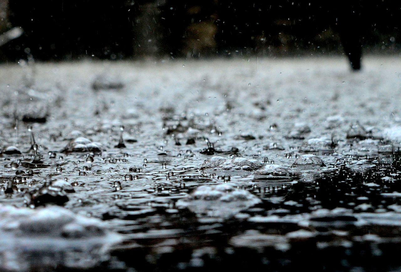
After a largely dry start to the day on Sunday (March 12), it will turn wet and windy. Rain will spread from the west through the morning and afternoon, with the possibility of some heavier falls later in the evening.
It will be a much milder day with highest daytime temperatures of 7° in the north, to 11° in the south, in moderate to fresh southerly winds, strong along southern coasts.
Sunday night will be a windy night with widespread showers, some of which may be heavy. Lowest temperatures of 6° to 10° are expected in fresh and gusty southwesterly winds, strong at times in coastal areas.
Outlook for next week
Monday (March 13) will start as a cloudy day with continued showers, most persistent in the south and southwest.
Drier and clearer weather will spread from the northwest during the evening, according to the national forecaster.
It will remain windy, especially later in the day, with strong and gusty northerly winds developing, and gales on some coasts. Highest daytime temperatures will range from 9° to 13°.
There is still some uncertainty in the forecast for Tuesday (March 14). Current indications suggest that much of the country will be dry, though showers will affect parts of Ulster.
There is potential for these showers to fall as sleet on higher ground. Rain will spread from the west later in the day. Highest afternoon temperatures are expected to range from 5° to 9° in light to moderate westerly winds.
Low pressure in the Atlantic will continue to feed rain and showers across Ireland for the rest of the working week with conditions generally remaining mild.