Weather to turn colder this week but less rainfall expected

This week’s weather is expected to become drier but much colder with frosty nights predicted, according to Met Éireann.
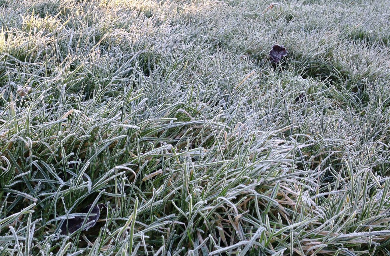
Today, Monday, March 2, will begin frosty with patches of frost and ice slowly clearing.
It will be a cold day with a moderate to fresh westerly wind bringing a mix of sunshine and showers which will be most frequent in the west at first but become more widespread in the afternoon.
This evening, in the north, showers will merge to give longer spells of rain and it will be windy there as westerly winds continue to reach gale force at the coasts of Donegal.
Elsewhere, winds will gradually ease and showers will mostly die out.
Temperatures will fall to between -1° and +2° tonight with frost and ice forming once again.
There’ll be isolated showers in the morning, becoming more frequent in the afternoon.
Tuesday night will be dry and clear with a sharp to severe frost.
Wednesday will be mostly dry, with a risk of isolated showers, and at times turning cloudier in the south with a risk of patchy rain there later.
Meanwhile, Thursday will start dry with just a few showers and highest temperatures during the day ranging from 6° to 8°.
During Thursday afternoon, a freshening southerly wind will bring increasing cloud from the west, signalling a rain bearing weather front which will carry rain from the west to east during Thursday evening clearing in the early night.
Thursday night will be cold with temperatures down to near freezing with icy stretches likely.