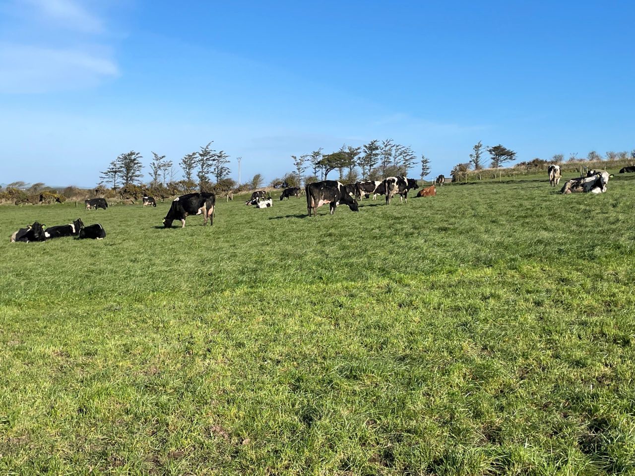
Weather: Mainly dry weekend in store for most areas


The coming weekend will see mainly dry weather for most areas, with above average temperatures.
It will start cloudy and misty in places this morning (Friday, February 10), with some patches of rain or drizzle. It will become largely dry today with occasional sunny spells developing.
Highest temperatures today will be 10° to 12° in mostly moderate west to southwest winds.
There will be good dry spells tonight with just patches of light rain or drizzle and a light southwest breeze. It will be rather cloudy with some clear breaks. Mist and fog may also develop, most likely in the south.
Lowest temperatures tonight will generally be 4° to 7°, perhaps colder where skies are clearest in parts of the south and southeast.
Tomorrow morning (Saturday, February 11) will see rather dull weather with low cloud and some spots of drizzle. It will brighten up during the day, but there will still be some outbreaks of light rain or drizzle. Highest temperatures should be 9° to 11° in a light to moderate southerly airflow.
Tomorrow night will be another mostly cloudy night with largely dry conditions, aside from spots of light rain or drizzle. There will be some mist and hill fog also. Lowest temperatures are expected to be 4° to 7° with mainly light southerly winds.
Sunday (February 12) will start cloudy with some drizzle in places, becoming mainly dry for the afternoon with cloud lifting and some late sunshine developing. Highest temperatures in the afternoon will be 9° to 11°. Southerly winds will be light or moderate in strength.
Sunday night will be mainly dry under broken cloud, although some patchy drizzle is likely. Temperatures will dip to between 2° and 5° generally. Winds will be mainly light and southeasterly.
Monday (February 13) is set to be dry with a mix of cloud and sunny spells for most. However, cloudier conditions with some drizzle may affect eastern and southern counties.