Unsettled weather in store - with frosty nights on the cards

The next few days will be unsettled and cooler than average up until the weekend, according to Met Éireann.
Some short sunny spells today, but overall cloudy with patchy outbreaks of light rain and drizzle, in a light to moderate southeast breeze.
A spell of persistent rain will develop across southern counties this evening, with winds freshening along the coast too. Top temperatures will reach 10° to 14° with best values expected in the west and mid west.
Tonight, outbreaks of rain will gradually extend countrywide with some heavy falls, especially across the south and east.
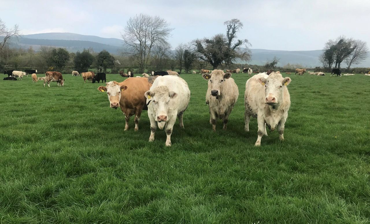
The low humidity and light breezes have resulted in good drying with little change anticipated for the rest of the week.
Meanwhile, there will be good spraying opportunities today and over next weekend; however, the midweek period will be more mixed.
Regarding field conditions, the forecaster describes the land as being “in good shape and very workable right now”.
Tomorrow
A damp or wet start is expected tomorrow with further falls of rain. Rain will tend to break up into showers into the afternoon with some sunny spells.
However, some of the showers could turn heavy, especially in the south. It will feel cool, with highest temperatures of 8° to 12° or 13° north to south. North-east winds will increase moderate to fresh at times, especially around showers.
Tomorrow night will see clear spells and well scattered showers after dark, with most of these affecting northern counties.
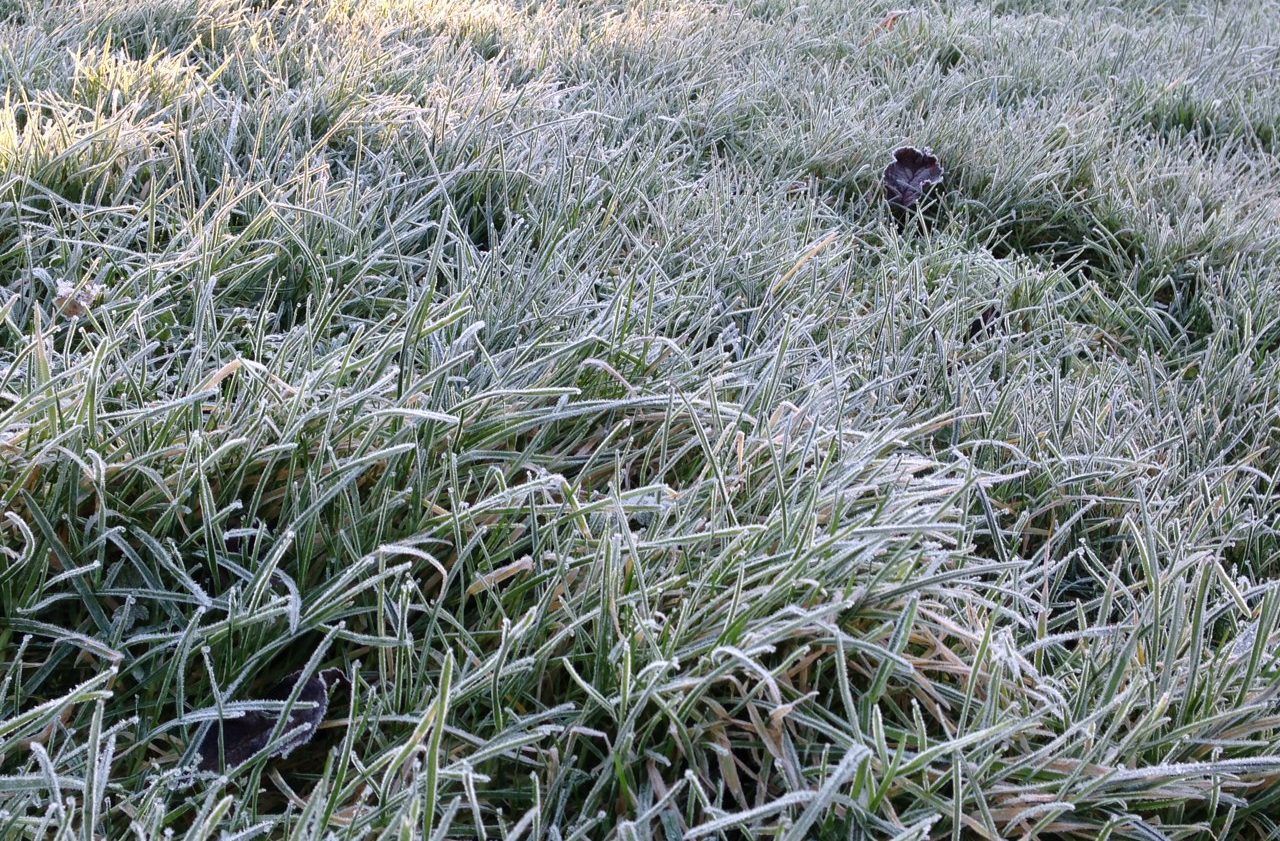
There will be some grass frost where skies stay clear, and it will be rather cold with overnight lows of 2° to 5° in light northerly breezes.
Outlook
There will be sunny spells but scattered heavy showers also on Thursday with the risk of hail and thunder.
Ulster may see some more general rain, and it will be coolest here also, according to the national forecaster.
Thursday night will be cold, with lows of 1° to 3° on the cards.
Friday will see sunny spells and scattered slow-moving showers with the risk of hail and thunder.
Highs of 9° to 11° are expected during the day, which will drop Friday night to turn cold and frosty after dark with lows of 0° to 3° in light north-west breezes.