Satellite technology to alert communities at risk of severe flooding

CeADAR, Ireland’s centre for applied artificial intelligence (AI), is using AI and satellite technology to develop an early warning system for Irish communities at risk of severe flooding.
Researchers used data collected by the European Space Agency’s Sentinel-1 satellite to map historical flooding events in flood-prone areas of Ireland.
The maps were then fed into an AI model designed to predict the extent of future flooding events in these areas.
The model is accurate, researchers say, up to a distance of approximately 20m.
Satellite technology and flooding
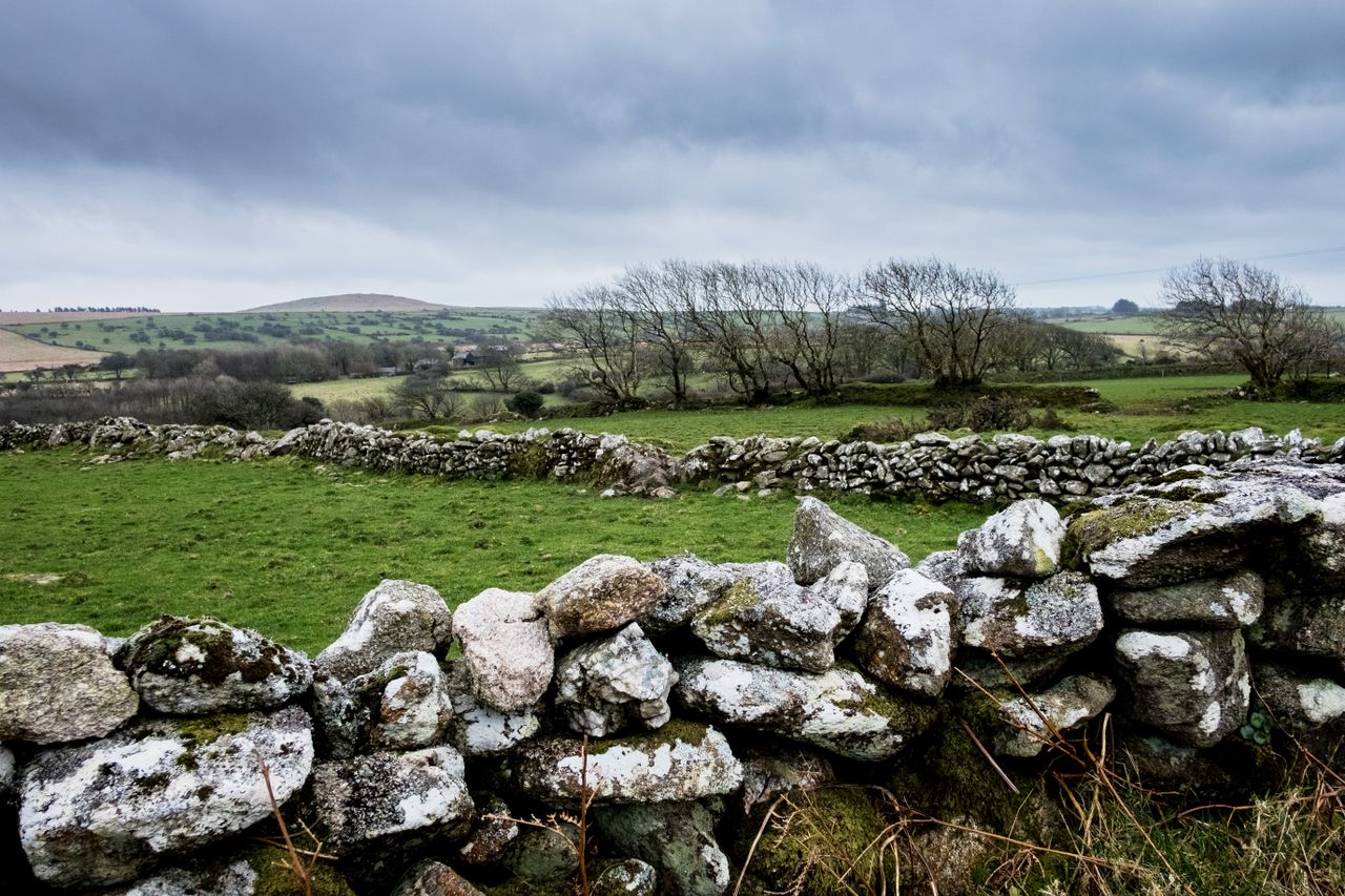
Areas which were studied as part of the project include Carrick-on-Shannon in Co. Leitrim, Middleton in Co. Cork, Athlone in Co. Westmeath, and Limerick city.
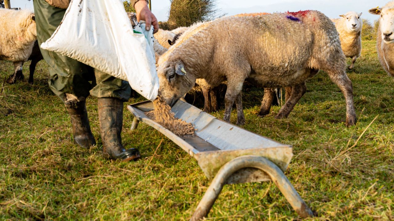
It is hoped the model will soon be used to forewarn threatened communities ahead of periods of heavy rain, providing local authorities with time to take emergency measures to limit damage to homes and businesses, evacuate residents, and protect livestock.
The flood prediction model forms part of CAMEO, the €9 million project led by University College Dublin (UCD) to develop an Earth Observations (EO) services sector in Ireland and explore the potential impact of EO data in the areas of climate, agriculture, and the marine.
The project is funded by the Department of Enterprise, Trade and Employment, and Enterprise Ireland under the Disruptive Technology Innovation Fund.
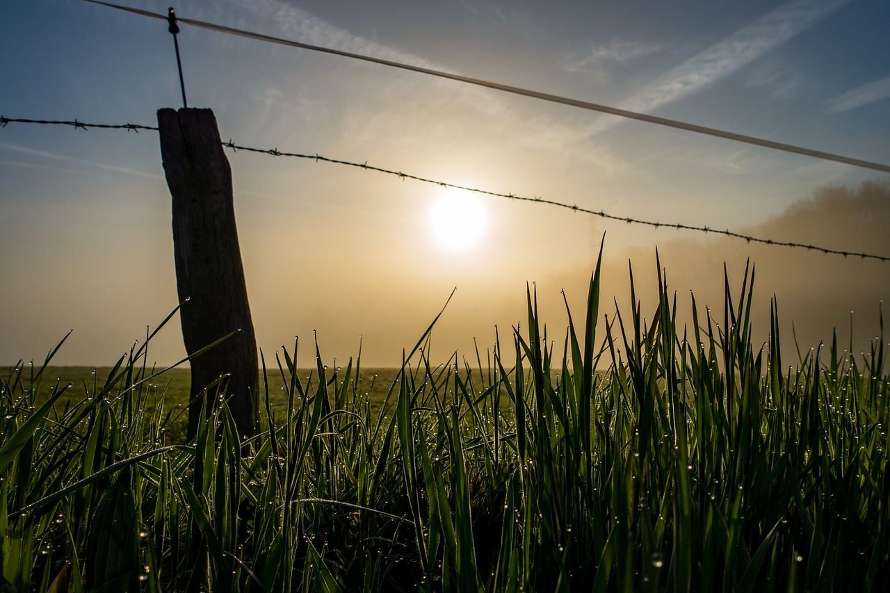
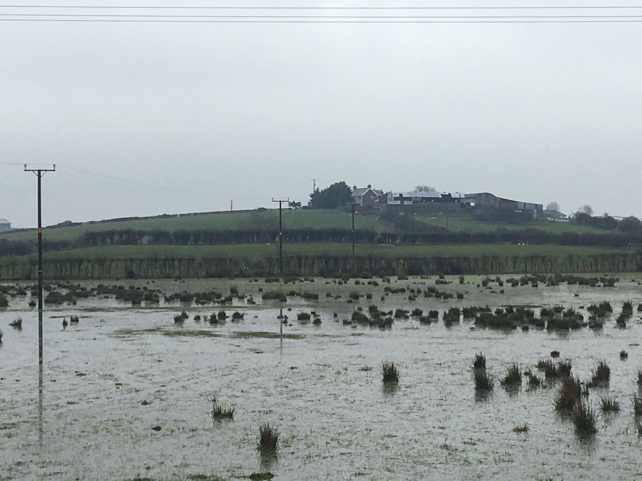
Many parts of Ireland have experienced significant flooding events in recent months, with flooding following Storm Ciarán, Storm Debbie, and Storm Babet badly affecting residents and businesses in the west and south-west of the country in particular.
The researchers have said that flooding in Ireland is certain to worsen in the coming years due to climate change, with increasing concentrations of greenhouse gas (GHG) emissions in the atmosphere leading to more intense precipitation events during winter, worse floods in historically vulnerable areas, as well as in areas that never flooded previously.
Earlier this year, the Irish Fiscal Advisory Council warned that extreme flooding events resulting from climate change could cost the state around €500 million a year by the end of the decade.
However, the report also estimates that a one-in-ten-year flooding event in Dublin could cost the exchequer up to €2.9 billion with more than 14,500 properties at risk.
Dr. Omid Memarian Sorkhabi is the post-doctoral researcher leading the development of the model at CeADAR.
Dr. Sorkhabi monitored the Middleton flooding in real-time during Storm Babet with the Sentinel-1 satellite, which uses advanced radar technology to penetrate heavy cloud cover, measuring soil moisture and water bodies at any time of day and night.
Data gleaned from the event will help refine the model and improve its accuracy, according to Dr. Sorkhabi.
“Flooding events like the one that hit Middleton during Storm Babet are devastating for households and businessowners whose properties are worst affected," Dr. Sorkhabi said.
"The silver lining is that Sentinel-1 was right over the area at the time so we have gathered a lot of valuable data that will help predict the extent of the next event and ensure that future damage is limited.
“We’re in the process of developing, testing and validating the tool. But there’s huge potential for it to be made available to local authorities and other research projects.
"There is also a global scope to this. Sentinel-1 is always monitoring, so there’s a lot of historical data on other parts of the world on which we could train and expand the model.”
Director of Applied Research at CeADAR, Dr. Oisín Boydell, added: “This project has major implications for communities in areas at high risk of flooding in Ireland.
"We’ve witnessed extensive flooding across the country in recent times and, with increasing greenhouse gas emissions certain to lead to more rapid climate change, we can expect even more intense precipitation events in the future.
“Predicting when and where a flood will strike allows time to organise mitigation measures, like preparing sandbags and evacuating people and livestock from certain areas.
"Traditionally flood prediction and mapping would have been based on weather models and low-resolution elevation maps, whereas this one is very much data driven, based on events over the past decade and the current situation in a given area," he added.
The researcher explained that this creates an accuracy level that is down to approximately 20m.