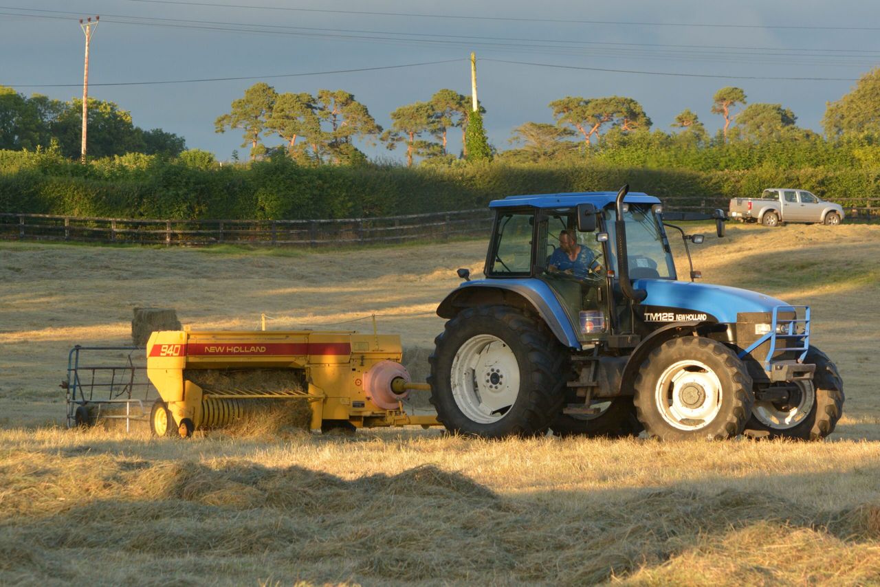
Video: Rising temperatures provide fuel for 'hay devils'

Strong whirlwinds have been making landfall across the Irish countryside in recent days – fuelled by the rising temperatures.
The weather phenomenon – known in the agri world as ‘hay devils‘ – is a scenario whereby a vortex of wind forms due to instabilities and turbulence created by the interaction of prevailing winds and rising columns of warm air.
It is understood that calm, warm and sunny conditions are essential for the formation of a whirlwind.
While lesser whirlwinds are not dangerous; they certainly have the power to reek havoc on unsuspecting hay fields.
Major first category whirlwinds of great intensity can form tornadoes and cyclones.
With temperatures expected to remain well above average over the coming days, forecaster Cathal Nolan – of the Midland Weather Channel – explained that it’s likely that the country will experience an increase in reported sightings of whirlwinds.
The current spell of warm weather will certainly lead to an increase in the number of sightings of whirlwinds. Areas with higher temperatures – across the midlands – will have an increased probability of whirlwind formation.
“There will be relatively unchangeable weather in store for the country over the next two weeks, with warm temperatures high on the agenda. Record temperatures could perhaps be reached on Wednesday (June 27).
“Highs of 29° to 31° are expected in parts of the midlands on Wednesday, Thursday and Friday (June 26 to June 28). Cool sea breezes will mean that coastal areas will remain slightly cooler,” he said.
Outlook
Nolan stated that temperatures are projected to range from 24° to 28° throughout the country at times this week.
“The only precipitation that there may be will come in the form of isolated thunder storms for the western half of the country,” he said, adding that there will be “no substantial rain” in store for the next 10 days.
Most areas in the country are expected to remain dry over the next two weeks. Overnight temperatures are expected to remain relatively high – ranging from 12° to 16°, depending on cloud cover and humidity.
The forecaster warned of the risk of “widespread drought“.
With ground temperatures expected to dip to possibly 4° or 5° over the next 10 days, Nolan assesses that grass and crop growth will “certainly be stunted”.