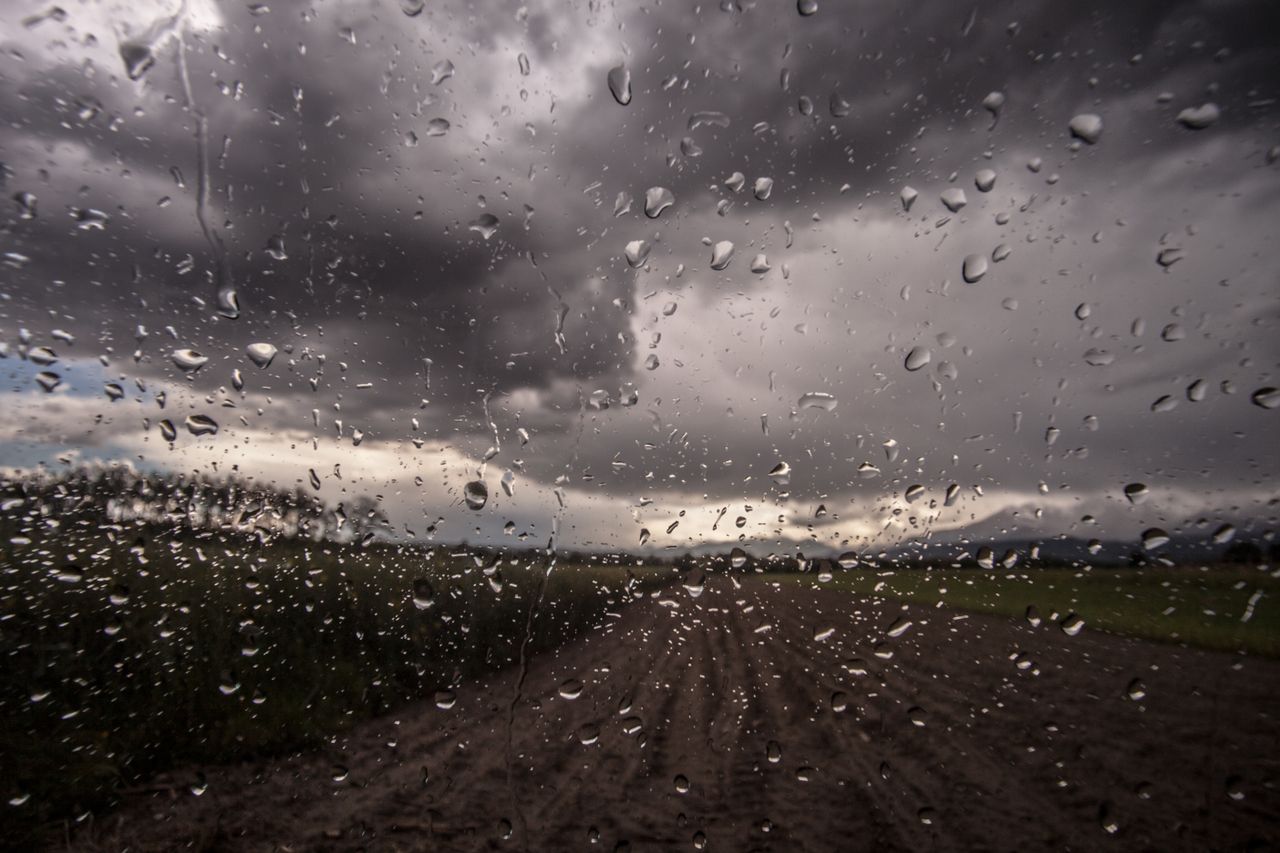
Rainfall warning in place until tomorrow for southern half of country


A Status Yellow rainfall warning has been in place since this morning, Monday, August 17, and will remain in effect until tomorrow morning, Tuesday, at 7:00am, Met Éireann has said.
The warning covers most of the southern half of the country, all of Munster, as well as counties Carlow, Kildare, Kilkenny, Laois, Wexford, Wicklow, Offaly and Galway.
The warning came into effect at 7:00am this morning, and will remain in place for 24 hours, lifting at 7:00am tomorrow morning.
In general, this week’s weather is expected to be unsettled for the most part, with heavy rain and thunder forecasted by Met Éireann.
Today will start cloudy with patches of mist. The day will begin dry in the northwest, with rain in the east and southeast extending to most areas and continuing through the day.
Today’s highest temperature will be 16° to 20°, with light northeast breezes.
Tonight will see rain continuing in many areas, heaviest over Connacht and the midlands with a continued risk of localised flooding. It will become mainly dry in Munster overnight, with lowest temperatures of 11° to 14°.
Tomorrow, Tuesday, August 18, will continue mostly cloudy over the northern half of the country with further spells of rain, which will gradually clear northwards in the afternoon and evening.
It will be bright further south, with sunshine and showers, some of which will be heavy. Highest temperatures of 18° to 22° are forecasted, with light southwest breezes.