Unsettled conditions with thunder and flooding in places - Met Éireann

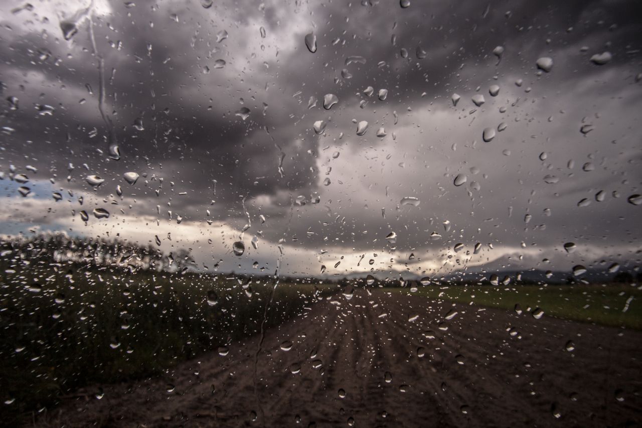
This week’s weather is expected to be unsettled for the most part, with heavy rain and thunder forecasted by Met Éireann.
Today, Monday, August 17, will see heavy or thundery rain with localised flooding and accumulations of 25mm to 40mm in places.
There is a Status Yellow rainfall warning for Munster and a number of other counties in place until tomorrow, Tuesday, which will bring heavy rain and thunder at times, with flooding predicted.
Today will start cloudy with patches of mist. The day will begin dry in the northwest, with rain in the east and southeast extending to most areas and continuing through the day.
Today’s highest temperature will be 16° to 20°, with light northeast breezes.
Tomorrow, Tuesday, August 18, will continue mostly cloudy over the northern half of the country with further spells of rain, which will gradually clear northwards in the afternoon and evening.
It will be bright further south, with sunshine and showers, some heavy. Highest temperatures of 18° to 22° are forecasted, with light southwest breezes.
On Thursday, August 20, there will be little change, with another band of rain spreading northwards over the country, with showers following. It will be blustery, with strong winds in some coastal areas. There will be further spells of rain or showers through the night.
Friday will continue windy with further spells of rain or showers.
Drying, spraying and soil
Unsettled humid conditions initially followed by wet and possibly windy conditions later in the week will limit drying conditions across much of the country. The best day for drying looks to be Tuesday, when shower activity is expected to be more isolated and less intense overall.
Opportunities for spraying will also be limited, with Tuesday possibly providing some opportunities to spray.
Soil moisture deficits are generally 10mm to 30mm across the country. However, due to recent heavy rain, the southwest is at or near saturation through the soil types. Above average precipitation is expected in the coming week and this will reduce deficits, with some poor field conditions possible, mainly in parts of the south and west.