Met Éireann warns of thunderstorms with lightning

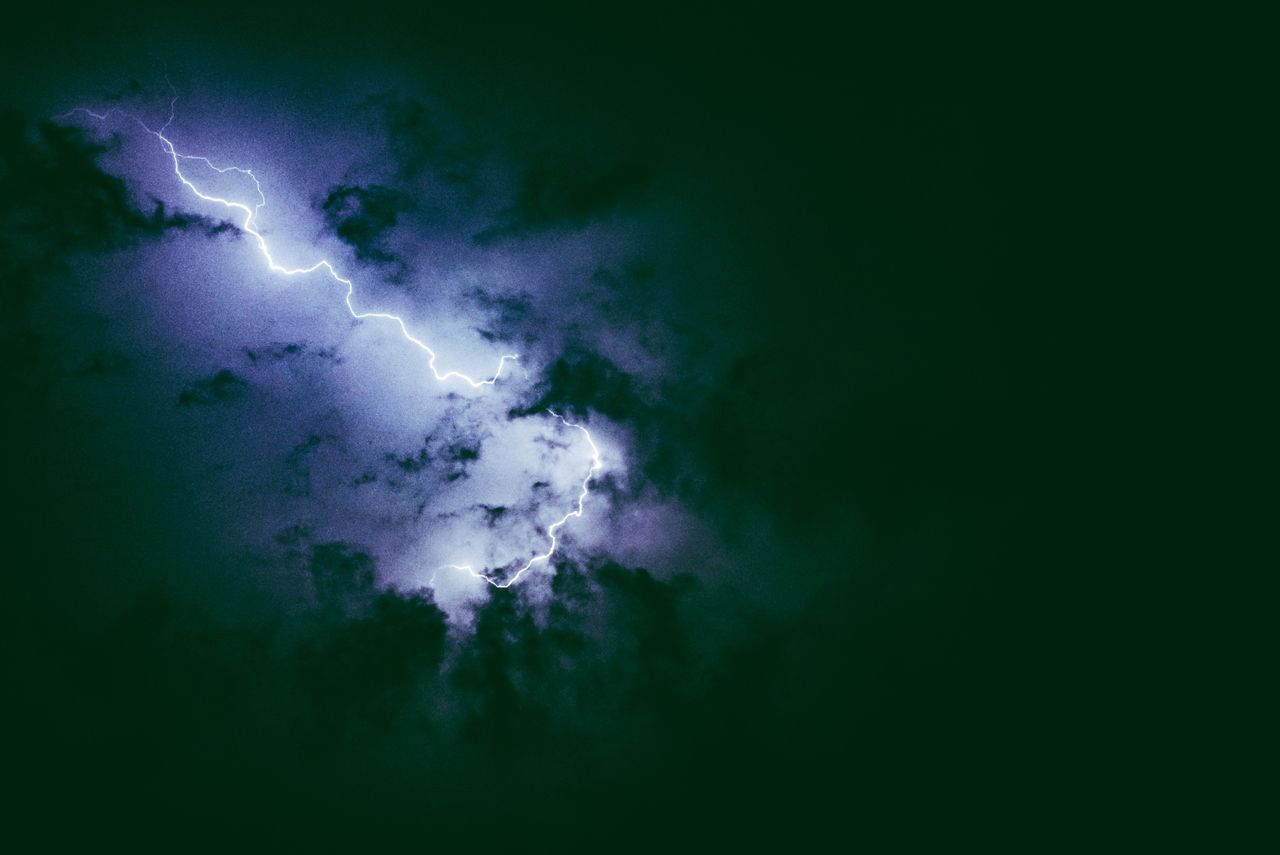
A Status Yellow thunderstorm warning for Munster, Donegal and Connacht is now in place, according to national forecaster Met Éireann.
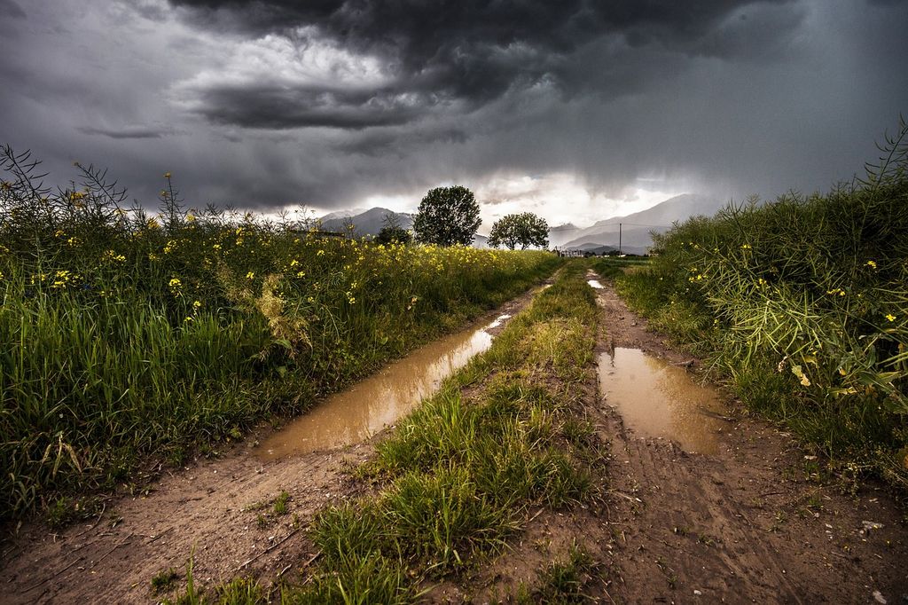
Scattered thunderstorms with lightning activity is expected, with hail possible too, in the affected counties until 9:00p.m today (Thursday, December 28).
The national forecaster has warned of possible power outages, hazardous travelling conditions and localised flooding in these counties today.
A Status Yellow wind and rain warning for Clare, Kerry, Donegal, Galway, Leitrim, Mayo and Sligo will also remain in place until 06:00a.m tomorrow (Friday, December 29).
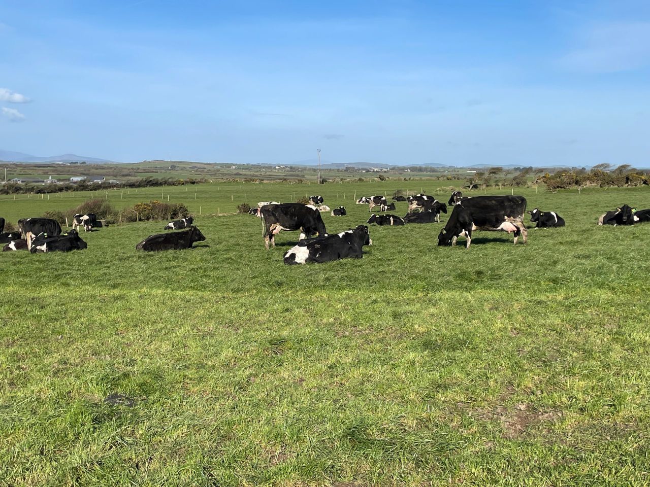
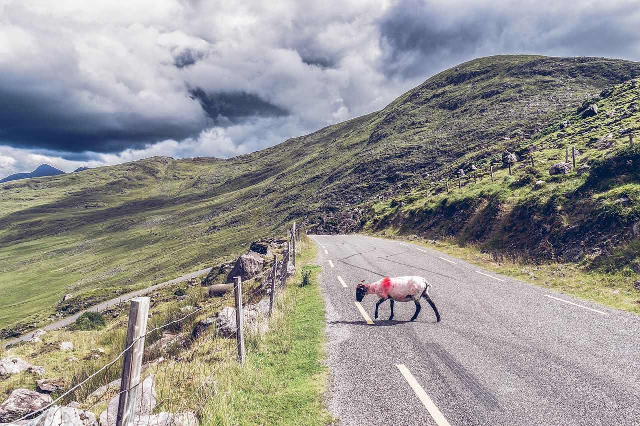
Southwest to west winds will be strong and gusty at times in these counties. Met Éireann also warned of potential coastal flooding as well as localised flooding.
Met Éireann
Today will be windy with heavy squally showers leading to some localised flooding. There'll be thunder and lightning with the chance of hail too, especially across the west.
There will be some bright or sunny spells at times. Fresh to strong and gusty southwest to west winds with gales at times on Atlantic coasts may lead to coastal flooding. Highest temperatures will be of 7° to 10° or 11°.
Windy and showery conditions will continue tonight, with a risk of hail and the chance of a little sleet over higher ground. Showers will become more isolated later in the night in many areas.
A more organised band of rain will move into parts of Ulster and north Connacht. Lowest temperatures will be of 1° to 5° in fresh to strong and gusty west to southwest winds, easing a little later on.
Tomorrow will be rather windy for a time with some sunshine and scattered showers. Rain will continue in parts of the north and northwest, some of it heavy, with a chance of localised flooding.
There's the likelihood of some sleet in the north too, over higher ground. Highest temperatures will be of 4° to 8°, possibly a little lower in some northern parts, in fresh to strong and gusty westerly winds easing later.