Met Éireann: Rain and sunny spells this weekend

Met Éireann has said that conditions will be mixed over the weekend with rain and sunny spells at times across the country.
The national meteorological service said that mist and drizzle will become confined to the east and southeast coasts this morning (Friday, July 19).
There will be cloud and sunny spells for many areas today, cloud will thicken in west Munster, Connacht and west Ulster in the afternoon and evening bringing rain.
There will be moderate to fresh southerly winds and highest temperatures of 17° to 22°C, warmest in the midlands and east.
The rain will become widespread and heavy at times tonight. It will feel humid in overnight temperatures of 12° to 15° in light southwesterly or variable winds.
Weather
Rain in most parts on Saturday morning with a risk of spot flooding as some falls will be heavy.
The rain will clear later in the dat to leave sunny spells and some showers. Highest temperatures of 15° to 19° in light southerly breezes which will veer northwesterly and freshen with the clearance of the rain.
Clear spells on Saturday night for many areas, some showers in the west. Lowest temperatures of 8° to 11° in light to moderate westerly winds.
Rain will develop in the west on Sunday morning and extend eastwards to all areas in the afternoon and evening. Highest temperatures of 14° to 17° in light to moderate southerly winds.
The widespread rain will persist on Sunday night in many areas, there will be a gradual clearance in Munster and south Leinster later which will be followed by scattered showers. Lowest temperatures of 11° to 14° with light southerly or variable breezes.
Sunny spells and scattered showers on Monday, remaining cloudy in Munster where rain will develop in the southwest later in the day. Highest temperatures of 17° to 21° in moderate west to northwest winds.
It is expected to be mostly dry on Tuesday with some light rain or drizzle in places. Light westerly or variable winds and highest afternoon temperatures of 17° to 21°.
Met Éireann
Met Éireann has said that the current forecast indicates conditions will continue largely unsettled next week with further showers and rain.
The coming week is expected to be wetter than normal across the country with rainfall totals between 150% to 250% of average for this time of year.
Over the next seven days, mean air temperatures will generally be within a degree of average, ranging between 14° to 16°, warmest in the east and coolest in the west. Soil temperatures will remain near normal.
Drying conditions will briefly improve today ahead of the arrival of rain this afternoon in the west.
There will be limited opportunities for spraying over the next few days.
Soil moisture deficits (SMDs) across all soil types are currently between 20 and 60mm. Due to more unsettled conditions SMDs will reduce in most areas over the coming week.
SMDs will decrease to between 20 and 50mm across parts of Munster, south Connacht and Leinster. Elsewhere soils will be near saturation, with potential for waterlogged soils in the northwest
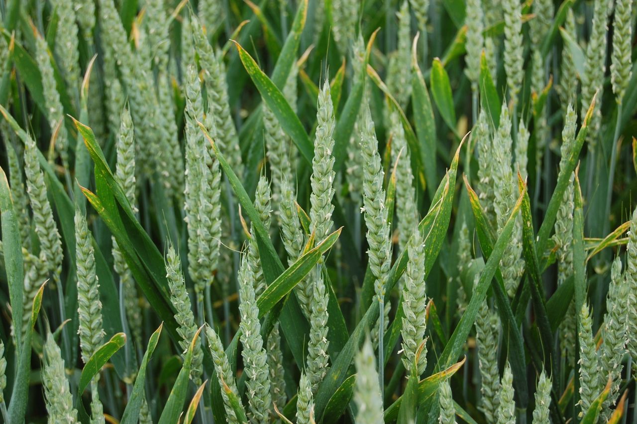
Met Éireann said that conditions conducive to the spread of potato blight will be present across parts of Munster and south Leinster until this afternoon.