Met Éireann: Largely dry week ahead with temperatures up


A largely dry week is in store over the coming days - with temperatures of up to 25° expected, according to Met Éireann.
This morning will be dry and largely sunny in the east, the forecaster says.
While it will start out a little cloudier today in the west, with patches of drizzle and mist, conditions will dry out and brighten up as the day goes on.
Temperatures in the afternoon will range between 20° and 23°, Met Éireann says.
Light easterly winds will keep temperatures a little lower along east facing coasts. A few showers may spring up in the afternoon in Munster.
Meanwhile, tonight will be dry and clear with temperatures of 11° or 12°. A few patches of fog may return in light easterly breezes.
Tomorrow
Tomorrow (Tuesday) will be dry, warm and sunny, Met Éireann says.
Highest temperatures will hit 20° to 23° with light easterly winds, moderate across some southern parts.
Tomorrow night will be dry and clear, while patches of mist and fog will develop in light easterly or variable breezes.
Lowest temperatures of 11° or 12° are once again expected.
Met Éireann outlook
Wednesday, Thursday and Friday will be dry, warm and sunny days with light winds, the forecaster says.
Temperatures will reach 22° to 25° most days, widely across the country on Wednesday.
On Thursday the highest temperatures will be in the southwest as the winds take on the northerly aspect with a little more cloud in the northeast keeping temperatures at about 20° there.
On Friday the higher temperatures will be away from east facing coasts as the winds go easterly again, temperatures along the east coast no lower than 20°, the meteorological office says.
Wednesday, Thursday and Friday night will all be dry and clear with patches of fog forming in the light variable winds, clearing early in the mornings. Lowest temperatures each night of around 11° or 12° are expected.
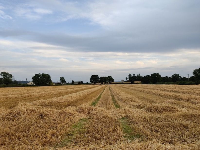
Farming and field conditions
Drying conditions will be generally good over the week with just a few light showers during the week and patchy drizzle in the southwest today, Met Éireann says.
Spraying opportunities will be excellent for much of the week, away from some light showers and patchy drizzle in the southwest.
Regarding field conditions, all soils are currently close to saturation or waterlogged in parts of the northwest and north midlands. Elsewhere, soil moisture deficits (SMDs) generally range up to 25mm, highest in the southeast and south.
Due to predominately dry conditions over the week, soil moisture deficits will increase nationwide, expected SMDs of 15 to 40mm, lowest in the northwest and highest in the south and southeast.