Met Éireann issues weather advisory ahead of Arctic airflow

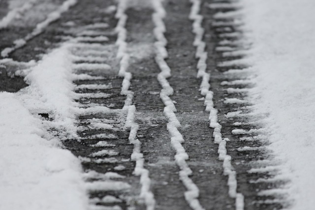
Met Éireann has today (Friday, January 13) issued a weather advisory for the whole country for wintry conditions, due to Arctic airflow over the next week.
The advisory, which is valid since 2:00p.m today, will remain effective until next Thursday, January 19.
The national forecaster has said that it will turn cold across the country between Sunday evening and Thursday morning as an Arctic airflow becomes established.
This is expected to bring sharp to severe frosts and icy stretches on roads and footpaths.
Some showers of hail, sleet and snow are expected with the potential for freezing fog. Further updates to the advisory and warnings are expected in the coming days.
Cloud will build from the west through the afternoon and evening with outbreaks of rain gradually extending across the country. Highest afternoon temperatures of 6° to 9°. Moderate to fresh westerly winds, gradually backing southerly.
Met Éireann weather forecast
Back to today, and Met Éireann has said that outbreaks of rain will clear eastwards overnight with isolated showers following from the west.
Temperatures will fall to between 1° to 4°C as the rain clears with moderate to fresh southwesterly winds.
There will be sunny spells and blustery showers tomorrow Saturday, most frequent in the north and west with a chance of some thunder, hail and sleet. Westerly winds will turn strong at times, especially in the northwest and highest afternoon temperatures will range from 4° to 7°.
It will be cold on Saturday night and breezy at first with scattered showers, with some wintry falls possible on high ground. Driest and clearest overnight in the south and east.
Fresh and gusty westerly winds will gradually ease in most areas through the night but will remain strong in the southwest. Lowest temperatures will range from -2° to +2°, with frost and icy stretches developing.
Sunday will be a cool, bright day with spells of sunshine and showers, with falls of sleet at times. Highest temperatures of 3° to 7° in mostly moderate west to northwest winds.
It will becoming largely dry on Sunday night with just a few showers, mainly on northern and Atlantic coasts, but turning very cold as temperatures widely fall to -3° or -4°.
Icy stretches will develop, especially on untreated roads and paths. Patches of freezing fog will also develop in mostly light westerly or variable breezes.
Monday will be another cool day with sunny spells and showers, falling as sleet at times. There is the chance of hail and isolated thunderstorms, especially in the west and northwest.
Highest temperatures of 1° to 5° in light to moderate breezes, fresher in the southwest. Turning very cold again overnight as temperatures again fall to -3° or -4° widely, in mostly light breezes with some pockets of freezing fog developing.
Tuesday will be a cold day with sunshine and a good deal of dry weather though showers will continue to mainly affect northern and Atlantic coasts. Highest temperatures of 1° to 3° in light to moderate north to northwest winds.