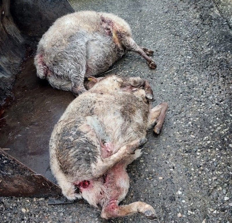
Met Éireann issues snow and ice warnings

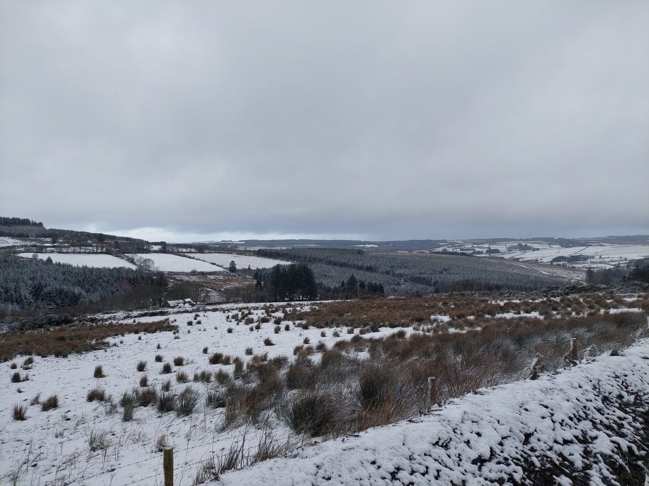
Met Éireann has issued several Status Yellow weather warnings as temperatures are set to drop later this week.
The national forecaster said that a band of rain due to move into west, northwest and north on Thursday (February 8) will turn to sleet and snow.
There will be ice on untreated surfaces which will lead to hazardous driving conditions and travel disruption.
The snow-ice warning for Cavan, Monaghan and Connacht will be in place from 2:00a.m. until 6:00p.m on Thursday.
A similar warning for Donegal will be valid from 11:00a.m until 8:00p.m on Thursday.
The UK Met Office has issued a Status Yellow snow warning for all of Northern Ireland on Thursday and into Friday morning which will cause "some disruption".
The warning is due to be in place for 24 hours from 6:00a.m on Thursday.
Met Éireann
Met Éireann has said that following the recent milder than average conditions, a cold front is passing over the country.
This will result in mean average air temperatures being up to 2°C below average for much of the country, with some frost and ice expected during the nights.
This afternoon, the rain will continue to push southwards with some heavy falls possible in Munster and Leinster, it will be brighter and drier elsewhere.
Turning colder with highest afternoon temperatures of 5° to 8°, milder in southern parts until later in the day.
Fresh to strong and gusty southwesterly winds will veer northwest to north and ease as the rain clears.
It will be mainly dry and clear tonight, but some wintry showers are possible along northern coasts. Frost and ice will form in places as temperatures drop back to between -2° to +2°, in a light west to northwest wind.
Wednesday will be a cold and mainly dry day, apart from some isolated showers in the north. Cloud will build later in the day to bring rain to the south and southwest.