Met Éireann: Cold and mainly dry weekend ahead

Met Éireann has said that temperatures will plunge over the weekend but conditions will be mostly dry across the country.
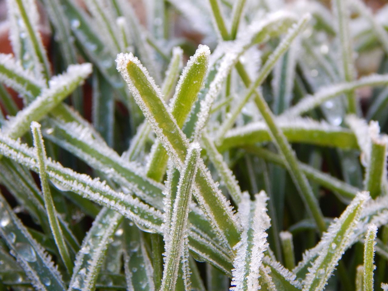
The national forecaster said that mean air temperatures will be 2° or 3°C below normal for many areas with sharp or possibly severe frosts at night.
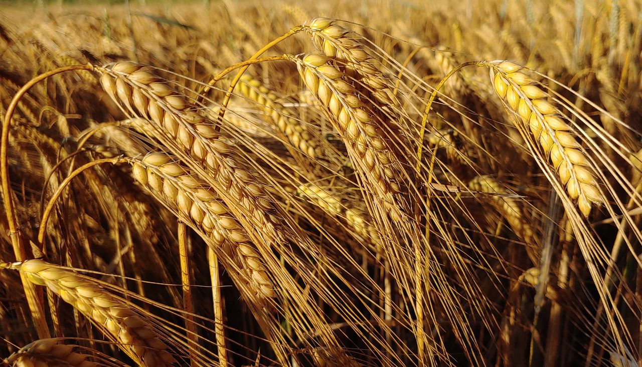
Mean soil temperatures will also decrease over the coming week, while very little rainfall is anticipated.
Met Éireann
Met Éireann said that today (Friday, January 5) will be mostly dry and sunny with some isolated showers on western coasts.
The northwest winds will be moderate and fresh at times along coasts, highest daytime temperatures of 6° to 8°.
Tonight will be dry and clear apart from some isolated showers in the northwest. Temperatures will drop to between -2° to +2°, leading to frost in places. Mist and fog patches will develop in the light northwest winds.
Saturday (January 6) will be dry and sunny with highest temperatures of 5° to 8° in light variable winds.
It will be cold and frosty on Saturday night with lowest temperatures of -3° to 0°. Some dense patches of fog could form in the calm conditions.
Sunday (January 7) will be cold, frosty and sunny as the mercury lingers between just 3° to 6°.
Another frosty night is expected on Sunday with lowest temperatures of -3° to 0°.
Looking ahead to next week, Monday (January 8) will be another cold and mainly dry day with some spells of winter sunshine. Highest temperatures of 2° to 4° in fresh southeast winds.
Met Éireann said that current indications show that high pressure will remain positioned close to Ireland bringing mostly dry and rather cold weather.
Currently, all well drained soils are saturated, some moderately drained soils and all poorly drained soils are waterlogged.
Despite the significantly drier than average conditions expected over the coming week, there will only be some recovery in the soils, with only limited poorly drained soils expected to be waterlogged by next week but all soils will generally remain saturated.