Heavy showers on the way this week in most places

Low pressure will dominate weather patterns this week, leading to thundery heavy showers in places, with temperatures generally slightly below average.
Showers will become widespread today (Monday, May 10) with some heavy thundery downpours developing, especially this afternoon. Spot flooding will occur and there is also a risk of hail. Top temperatures will be 12° to 15°.
Light to moderate south to southwest winds will increase fresh and gusty near southern and eastern coasts this afternoon, according to Met Éireann.
The showers will gradually become lighter and more isolated early tonight, with clear spells developing.
Further showers will move into western parts of Munster towards morning. Minimum temperatures tonight will be 3° to 7°, with some mist patches forming in light to moderate southerly breezes.
Tomorrow (Tuesday. May 11) will start dry in many places with sunny spells. However, showers in west Munster will spread further inland during the morning and afternoon, turning heavy and thundery again with a risk of hail and spot flooding.
The showers will tend to be more isolated across parts of the north and east. Highs will be of 11° to 15° in light to moderate southeast breezes.
Showers will persist across Munster and south Leinster on Tuesday night, but it will be mostly dry with clear intervals further north. Minimum temperatures will range from 3° to 7° in light and variable winds. Some mist patches will form in the near calm conditions.
Any mist patches will soon burn off on Wednesday morning (April 12), giving way to a mix of sunny spells and showers. With light variable winds, the showers will tend to be slow-moving and prolonged in places, with a risk of spot flooding. Once again some thundery downpours with hail are possible.
Highest temperatures will be 12° to 16° in light variable breezes.
Showers will largely die out on Wednesday night, and it will become mostly dry with clear spells. Lowest temperatures will be 3° to 6°, with some mist patches returning in the near calm conditions.
There'll be further heavy showers on Thursday (May 13), some of them prolonged, with a continued risk of thunderstorms and hail. Bright or sunny spells will occur too though.
Highest temperatures on Thursday will be 12° to 16° in mostly light northerly or variable breezes, though winds will be mostly moderate along coastal parts of the west.
Friday (May 14) will be another day with sunny spells and scattered heavy showers breaking out in the afternoon. Again the showers will be slow-moving with the risk of thunderstorms and hail. Highest temperatures will be 13° to 16° in light northeast or variable breezes.
Farming forecast
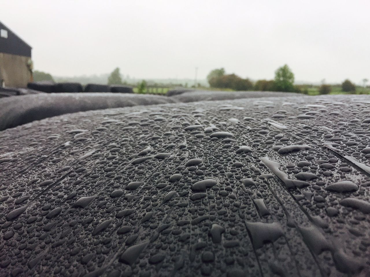
In terms of Met Éireann's farming forecast, issued yesterday (Sunday, May 9), the national forecaster predicts that drying conditions will generally be moderate to poor in the week ahead, with fairly widespread showers.
However there'll be some warm spells of sunshine too, giving improved drying conditions locally. Northern areas are likely to have fairly decent drying conditions on Tuesday.
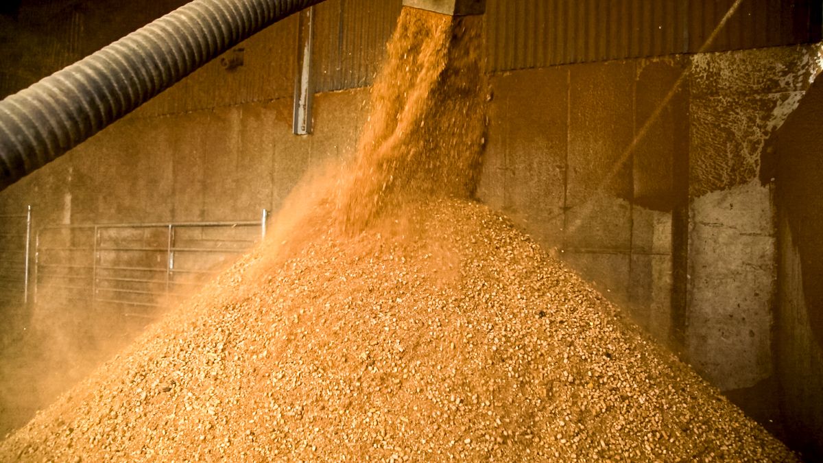
The heavy showers will maintain less than ideal conditions for spraying.
Soils are saturated in the northwest, though deficits exist in most areas. Soil moisture deficits of 15mm to 30mm in the southern half of the country and some late season frosts have led to some growth restrictions here. However, soil moisture deficits will decrease in the week ahead.