Frosty weekend in store - with a chance of snow

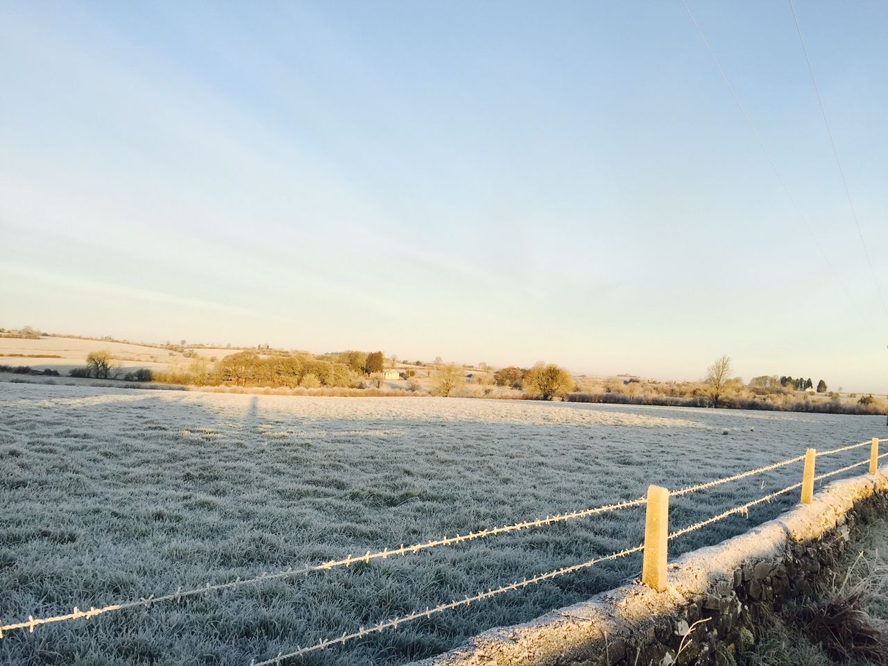
A cold Bank Holiday weekend is in store for the country, with overnight frosts and icy temperatures of -3° expected, while there will be a chance of snow on hills also, according to Met Eireann.
Today will be a cold, windy, showery day, according to the national meteorological office, with showers heaviest and most frequent in Connacht, Ulster and west Munster.
There will be some hail and possibly some thunder also.
Temperatures will reach highs of just 7° to 10°, at best, but it will feel even colder in the stiff north-west to northerly winds, which will be blustery on Atlantic coasts.
A cold and windy night is in store tonight, with the stiff north to north-west wind persisting. There will be some dry clear spells, best over east Munster and much of Leinster, but further showers may occur also.
These will be heaviest and most frequent over Ulster and Connacht with some hail and thunder locally, Met Eireann warns.
Drying will be moderate at best in this time of year, while conditions for spraying will be average due to the fresh northerly winds and occasional showers.
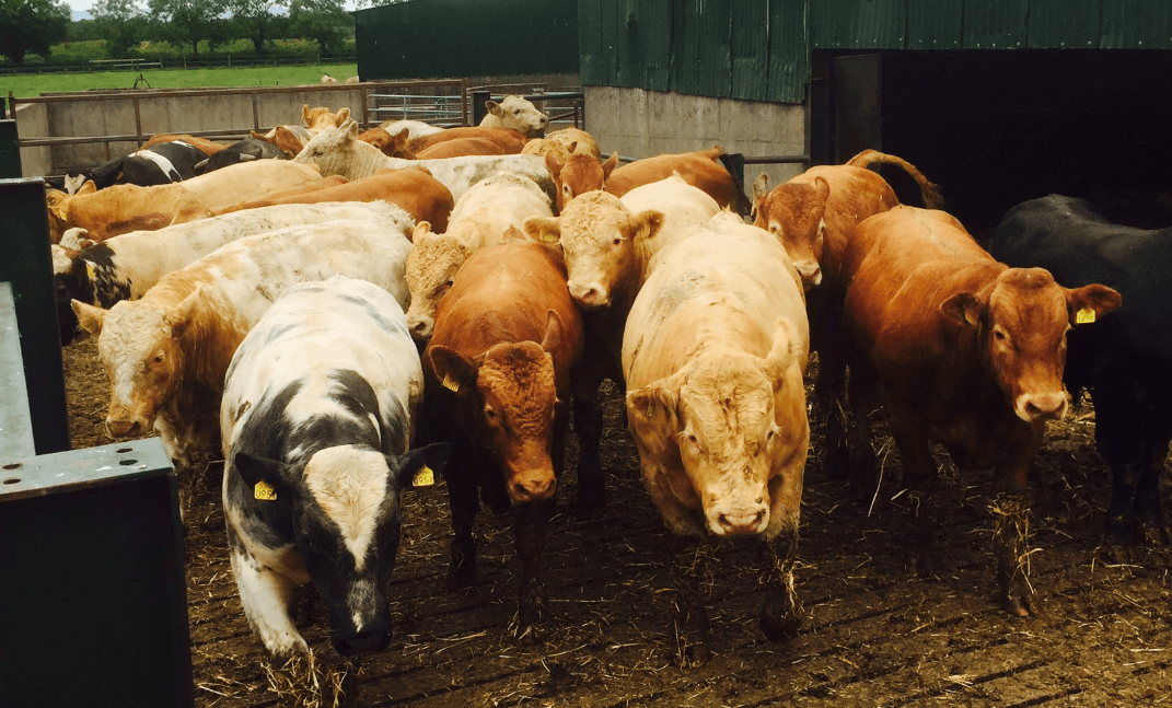
Regarding field conditions, most soils are currently trafficable; however, some poorly-drained soils are saturated or waterlogged.
Little change is expected this coming week, Met Eireann warns.
Tomorrow
Another cold, windy day is in store for tomorrow.
There will be some bright or sunny spells, best in southern and eastern areas, where showers should be scattered.
However, some further heavy or prolonged showers can be expected elsewhere, with hail and thunder possible and even a few wintry ones on northern hills.
Top temperatures will again only reach 6° to 8°, feeling colder in the stiff north to northwesterly wind, according to Met Eireann.
Tomorrow night will see north to northeasterly winds moderate considerably overnight, falling light inland and the showers will become increasingly confined to coastal margins, where onshore breezes persist.
Sunday
Sunday will see most parts dry and fine with good sunshine, after a frosty start.
A few showers will drift into eastern coastal districts, due to the light onshore northeast breeze. Temperatures will max out at 7° to 10°, though it will not feel as cold as previous days, due to more prolonged sunshine and mainly light breezes.
However, a cold night is in store afterwards.
Temperatures will drop away fairly quickly after dark, with frost forming in the clear, near calm conditions – with some icy patches expected.
However, increasing cloud from the Atlantic will see temperatures rising in Atlantic coastal areas towards dawn.
At present, Bank Holiday Monday looks like being dry and bright for most places, with early frost and ice clearing.
However, Atlantic coastal counties look set to be breezy, cloudy and misty, with a risk of some light rain at times there, though some sunny spells should develop elsewhere.
Highest temperatures will reach 7° to 10° in moderate to fresh southeasterly winds, which may increase strong along Atlantic coasts.
It is expected to be dry in most places overnight and cold, with frost and a risk of some icy patches.