Wintry weekend on the way with lows of -5°

While today might technically be the first day of spring according to some, the weather will remain very wintry this weekend according to Met Eireann.
The Status Yellow snow-ice warning for the country issued earlier this week remains in place, and has been extended for an extra day.
Updated yesterday, the warning will now expire at 12:00pm on Sunday.
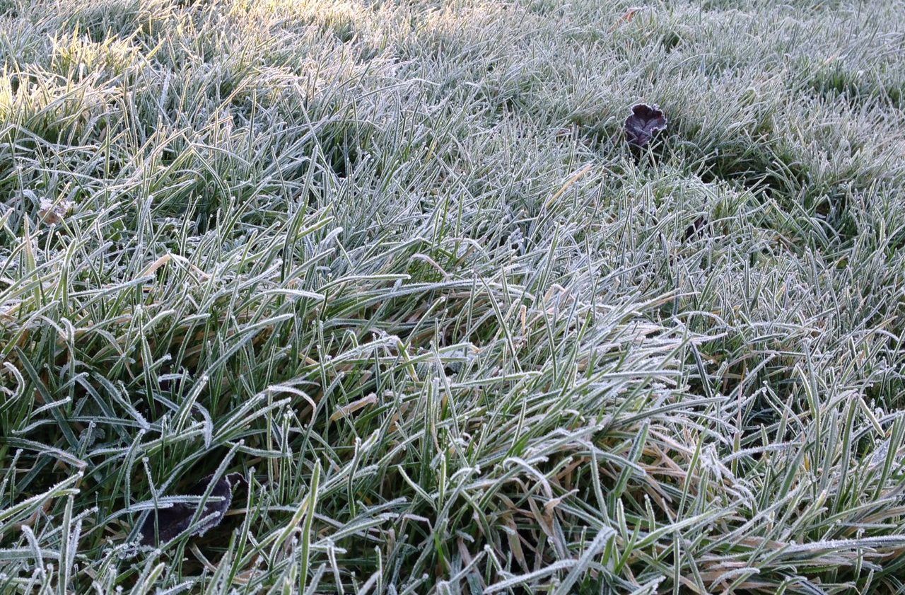
Frost and ice will be fairly widespread this morning but less extensive in southern and eastern coastal areas, according to the national meteorological office.
Maximum afternoon temperatures will range from 2° to 5° at best. Winds will back northerly during the day and moderate a little.
It will be very cold overnight with widespread severe frost and ice. It will be mostly dry with long clear spells but scattered snow flurries will move in across parts of Ulster and north Connacht during the night.
Minimum temperatures will drop to lows of -1° to -5° in light or moderate northwest breezes.
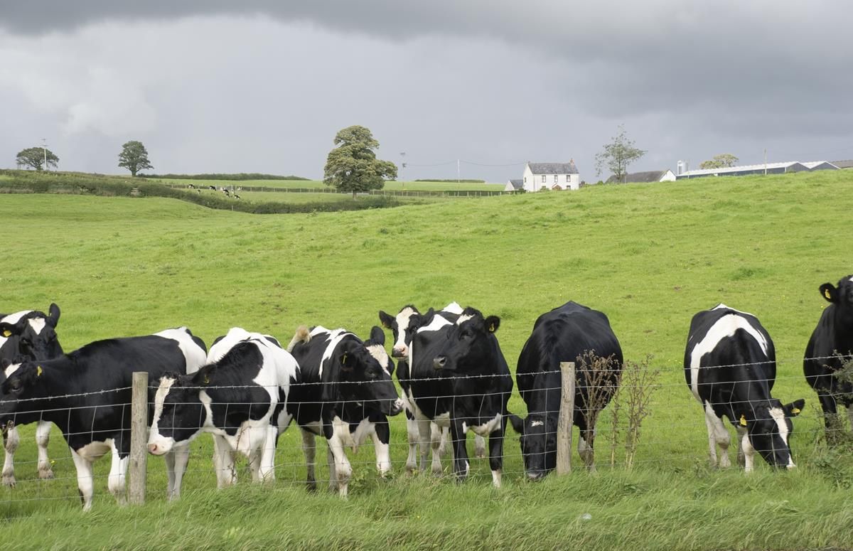
Regarding field conditions, all soils are saturated at the moment and poorly drained soils waterlogged. Little change is expected for the week ahead.
Tomorrow
Frost and ice will gradually clear from most areas tomorrow morning to leave a bright day with a mix of cloud and sunshine.
Much of the country will hold dry but there will be a few showers, mainly in the south-west, west and north where some may be wintry.
Maximum afternoon temperatures will stay at around 3° to 7° in mostly light westerly or variable breezes.
The rain will spread eastwards, reaching the east coast by around dawn and may be preceded by snow in places. Lowest temperatures will drop between 0° to -3° in moderate south-west breezes.
Sunday
Patchy rain and sleet will clear eastwards on Sunday morning to leave sunny spells during the afternoon.
Highest temperatures will peak at 6° to 9° in moderate south-west winds.
A spell of rain will move in from the Atlantic overnight accompanied by strengthening southerly winds.
Lowest temperatures will return to a more normal 2° to 6° with it to be coldest in north Ulster.