Wind warning issued for six western counties


A Status Yellow wind warning has been issued for tomorrow (Thursday, February 24) for six western counties.
Met Éireann issued the warning this afternoon ahead of the "very strong and gusty west to northwest winds".
The warning, which will come into force from 8:00a.m tomorrow, will apply to Clare; Donegal; Galway; Leitrim; Mayo; and Sligo. It will remain in place until 6:00p.m on Thursday.
Meanwhile, a Status Yellow alert for snow and ice for the entire country will begin at 10:00p.m today and will continue until midday tomorrow.
The national forecaster said that there will be blustery and squally showers of hail, sleet and snow.
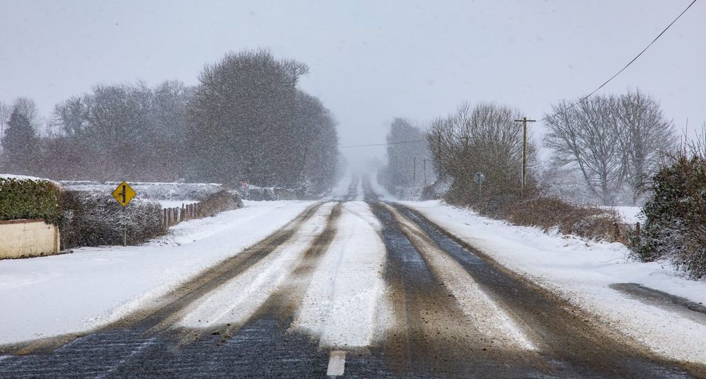
Road users have been advised to take extra care as there may be icy stretches on untreated surfaces leading to "hazardous" conditions. There may be thunder and lightning in some parts.
The UK Met Office has issued a Status Yellow weather warning for snow and wind in four counties in Northern Ireland.
It said that heavy snow showers and strong winds are forecast today and Thursday in Antrim; Fermanagh; Tyrone; and Derry.
The forecaster also warned that there is a small chance that “frequent lightning” will occur in some areas.
The weather alert will come into force at 5:00p.m today and will remain in place until 8:00p.m on Thursday.
Elsewhere, Met Éireann said that a Status Yellow wind warning for Donegal and Mayo will remain in place until 3:00p.m today.
Today will see rain extend across the country from the northwest where wintry showers will develop this evening.
Overnight the temperatures will plunge to between -2° and +1° with snow, sleet and rain showers possible. In sheltered areas, frost and ice will set in.
Thursday will be cold and very windy with scattered wintry showers and some bright spells too. Temperatures will climb to just 3° to 7° with the strong to gale force west to northwesterly winds giving an added wind chill factor.
Conditions are set to be drier for Friday and Saturday before a band of rain arrives on Saturday night.