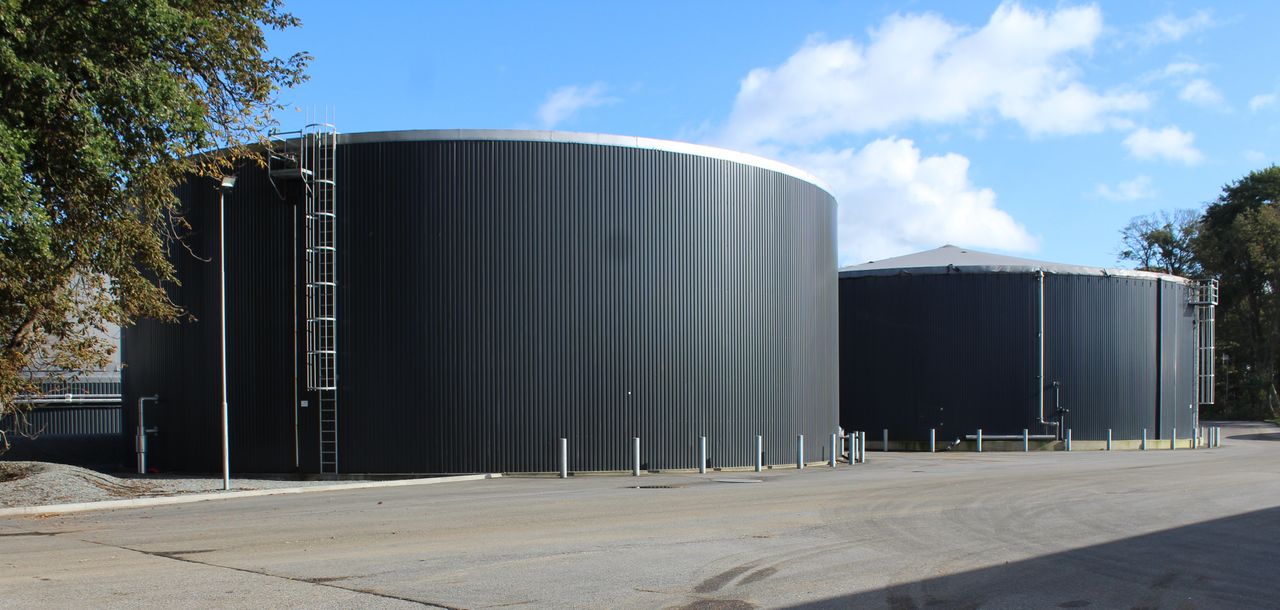
What does precision tillage farming entail?


The fitting of auto-steer guidance to a combine was the entry point for a Co. Wexford farmer into the world of precision tillage farming.
Don Somers recently outlined his experience on the latest Tillage Edge podcast.
According to Don, the commitment to auto-steer made the decision to invest in a yield sensor an easy one to make.
“I was then able to create yield maps. At the time I knew that it was important to build up a number of annual yield maps for specific fields," he explained.
“Once I had three to four years' worth of mapping results, I knew that I then had some useful data that would allow me to make more accurate crop management decisions.”
Don initially invested in a Topcon yield mapping system.
“When I bought it, the screen came unlocked for yield mapping and variable rate applications,” he said.
“So I knew it gave me more options into the future. When I had that fitted into the combine, an optical sensor was fitted onto the clean grain elevator.
“A yield track module then interprets the optical sensor to create the yield map. So, the entire system measures the grain coming into the combine at every point in the field.”
Precision tillage farming
Don went with a retrofit option where the yield mapping system was concerned. This would allow him to easily transfer the system to a new combine, which - as it happened - transpired to be the case.
“This means I am only buying the technology once. It also means that I don’t have to stick to one brand in particular," he explained.
“If I change to a different brand of combine, then all my data remains consistent.”
Yield mapping systems are reasonably straightforward to use.
“Anyone with experience of a smartphone could easily use the new technology. It’s a touch-screen system," he said.
“So, when I drive to a location, I select the field that I am in. All my fields are mapped. I then select the name of the field and the type of crop I am cutting.
“On the very first portion of every field, it’s important to fill a trailer with grain and then weigh that," he added.
This ensures that the weight of grain in the trailer corresponds with the weight recorded by the yield mapping system.
“If this is not the case, I then need to adjust the system on the tractor so that it accurately correlates with the weight of grain that has physically been measured," he continued.
“After that, the yield mapping system simply works away in the background.”
“When the harvest is over I simply download all the field information that has been gathered on to a USB stick and transfer it on to a software programme, which will interpret the data and create a yield map," he concluded.