'Well below average' rainfall expected this week in parts

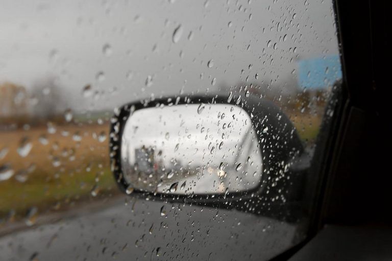
While rainfall is expected this week, amounts will continue to be “well below average” in the east and south-east, according to Met Eireann.
In other areas, accumulations could potentially be above normal.
Today, Monday, is set to start off very mild, close and generally cloudy with patchy rain and drizzle – producing a few heavy bursts locally – also likely.
Conditions are forecast to brighten up in the north-west and west during the afternoon, with somewhat fresher conditions developing.
In other areas, it will remain rather warm, humid and quite cloudy. Patchy light rain or drizzle will continue to sink southeastwards and a few heavier bursts will still be possible later today, the Irish meteorological office added.
Patchy rain or drizzle across east and south-east counties will clear early tonight. It is set to be dry under broken cloud overnight, apart from the odd spot of rain or drizzle along Atlantic coasts.
Temperatures could drop to between 11º and 16º, mildest across the south-east, while westerly breezes will be light.
Tomorrow
Tomorrow, Tuesday, will bring a mix of cloud and sunny spells – all in light to moderate westerly breezes, Met Eireann added.
Tomorrow night will be dry under broken cloud with some mist and fog patches in light variable, mainly southerly breezes. Temperatures could drop to as low as 10º.
Wednesday
There is some uncertainty about Wednesday, but outbreaks of rain are likely to move up across the country – mainly affecting Atlantic counties.
Conditions will be warm and humid, with some sunny spells forecast across the midlands and east. Highest temperatures will vary between 18º and 23º depending on what part of the country you are in.
Outlook
Thursday is expected to be breezy in the morning, with some scattered outbreaks of rain also likely.
Conditions are forecast to dry up though in the afternoon as warm sunny spells develop. Highest temperatures will range from 18º to 21º across Atlantic counties and a warmer 21º to 24º elsewhere – all in moderating southerly breezes, Met Eireann explained.
Early indications suggest that temperatures will fall back to around average next weekend, with values reaching the high teens generally. There is a possibility that low pressure may feed in some wet and windy conditions over the course of the weekend.