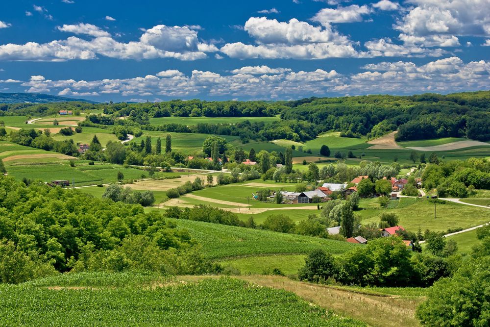
Weekend weather: Sunshine and higher temperatures


The weekend weather forecast from Met Éireann indicates that it will be a warm and generally dry weekend and start to next week with temperatures a few degrees above the norm.
Starting with today (Friday, October 6), it will be a cloudy and damp start this morning with outbreaks of rain and drizzle and some mist and fog patches too.
The rain will gradually clear northwards during the afternoon and evening with some hazy sunny spells developing.
However, the rain will linger in north Ulster through the evening. It will be breezy with moderate, occasionally fresh, south-west winds and highest temperatures of 16°C to 19°.
Tonight will be dry with clear spells for most of the country. However, rain will be slow to clear from parts of north Ulster, with dry conditions developing there by morning.
Some mist and fog will develop also and it will be quite mild with temperatures not falling below 12° to 15° in light to moderate southerly winds.
Weekend weather
A dry and warm day tomorrow Saturday with hazy sunny spells.
It will be cloudier in Ulster during the morning and early afternoon with the chance of an isolated shower there.
Fog may linger along some southern coasts and it will be humid with highest temperatures of 18° to 23°, coolest in Ulster, in light to moderate southerly winds.
Saturday night is expected to be a dry and rather mild night. It will turn cloudier overall with mist and fog in places but a few clear spells will break through, according to Met Éireann.
Lowest temperatures will range from 11° to 14° in a light southerly breeze.
Sunday is forecast to be warm and generally dry with a good deal of cloud, though hazy sunshine will develop at times.
There is the chance of an isolated shower in the north-west later in the day and fog may linger on some coasts. Highest temperatures will range from 19° to 23° in light southwest winds.
Sunday night will be a cloudy and mostly dry night, though there will be a few showers over the northern half of the country.
It will again be very mild with temperatures not falling below 13° to 16° with mist and fog patches forming in light south-westerly winds.
Outlook next week
Monday is forecast to be another generally dry and warm day, though cloudy for most with just a few sunny spells.
There is the chance of patchy light rain over Ulster. Highest temperatures of 17° in the north to 23° in the south in light to moderate south-westerly winds.
After a dry start to Tuesday, outbreaks of rain will gradually spread across the country from the north-west.
Temperatures will start to fall back slightly with highest temperatures of 16° to 20° in moderate southwest winds.
Met Éireann has said that it will feel fresher from Wednesday onwards with daytime temperatures dropping back to the mid- to low-teens.
More unsettled also with showers and outbreaks of rain at times.
Farming
According to the national forecaster, good drying is expected in many areas on Saturday and for a time on Sunday.
There will be good spraying opportunities in most areas over the weekend as sunshine and low wind speeds will occur with dry conditions.
Leinster and Munster will see the best of the spraying conditions through the rest of the period.
Poorly drained soils are waterlogged at the moment while moderately drained soils are saturated with the addition of parts of the north and south being waterlogged or close to it.
Well drained soils are at least saturated. Overall there will only be very slow improvements this week with moderate and well drained soils remaining saturated but generally not waterlogged, while poorly drained soils will remain waterlogged or close to it in most areas.
Overall trafficability will remain poor through the period.