Weekend weather forecast: Mix of dry spells and heavy showers

The weekend weather forecast from Met Éireann indicates that there will be a mixed bag in different parts of the country over the next few days, with some dry spells and heavy showers at times too.
This morning (Friday, November 25), there will be sunny spells and scattered showers, some heavy. Moderate to fresh southwesterly winds will be strong for a time along west and northwest coasts.
Most areas will become dry by this afternoon, with showers slower to clear from the north. Cloud will increase through the afternoon with highest temperatures of 9° to 12°C.
Many areas will be dry early tonight under mostly cloudy skies with scattered outbreaks of drizzle in Atlantic counties. It is expected to turn windier overnight with rain developing in most areas by dawn.
Southerly winds will increase fresh to strong, becoming very strong in the southwest by morning with lowest temperatures of 6° to 10°.
Weekend weather
It will be windy tomorrow Saturday, with strong southerly winds, easing somewhat during the afternoon.
Met Éireann has said it will be a dull or misty day with outbreaks of rain, most persistent along the south coast with good dry spells elsewhere during the afternoon.
It will also be milder than normal for the time of year, with highest temperatures of 11° to 14° and rain will become heavier in most places in the evening.
On Saturday night, outbreaks of rain will be heavy in places early in the night, but will clear eastwards before midnight. The rest of the night will be dry for most, aside from a few showers.
Southwest winds will largely ease light to moderate, remaining fresh or strong along Atlantic coasts with lowest temperatures of 5° to 8°.
Sunday will see good dry and bright periods for most areas although there will be occasional showers, mainly in Atlantic counties. Highest temperatures of 9° to 11° with moderate southerly breezes.
Most areas will be dry and clear on Sunday night, with isolated showers near coasts. Near calm conditions will allow areas of mist or fog to form. A touch of frost is possible, with lowest temperatures of 0° to 4°.
Outlook for early next week
There is fog likely on Monday morning, slowly lifting for a mainly dry day with sunny spells. Well scattered showers will feed into Atlantic areas in a light northwest airflow with highest temperatures of 7° to 11°.
Monday night is currently looking to be cold, clear and frosty, with lows of -1° to 4°, although there is some uncertainty yet.
There is also some uncertainty for Tuesday, but currently it looks to be a dry day but cloudier, with rain possibly pushing into western or southwestern fringes later. Light or moderate southeast winds too. Highest temperatures of 6° to 10°.
While midweek weather is still uncertain, signs are trending towards a cool easterly airflow later in the week with decent dry spells.
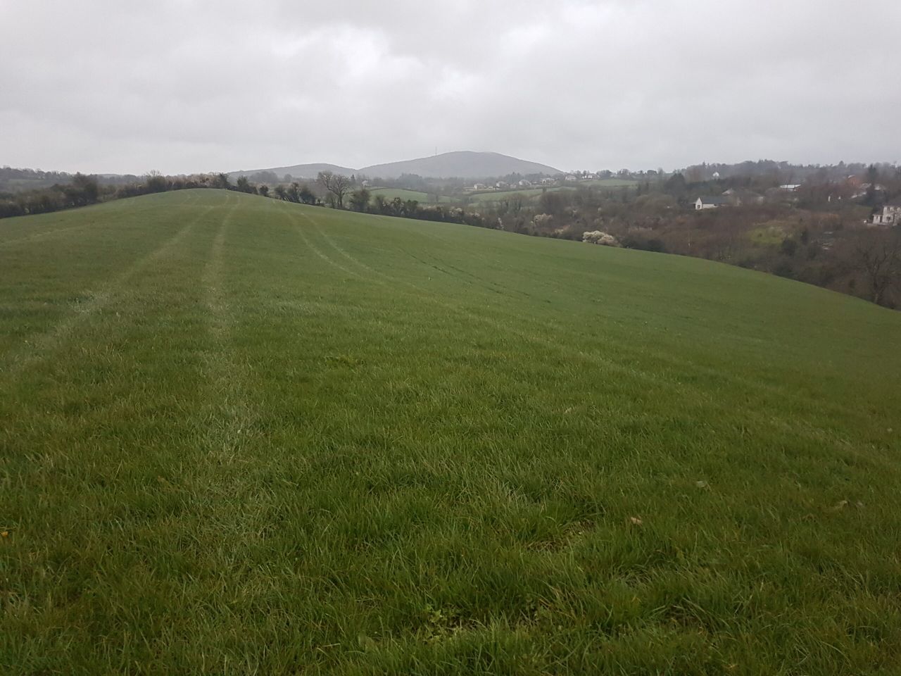
Field Conditions
All well and moderately drained soils are currently waterlogged or close to it.
Over the coming days, continued spells of rain and showers will lead to little change in soil conditions, though some moderately drained soils may see marginal improvements but remain saturated.
Poor trafficability looks set to continue. Drying conditions will generally be poor over the coming days, with today, Friday, being the best chance of some marginal drying away from western coasts.