Weekend weather forecast: Cool with isolated showers

The weekend weather forecast indicates a mixed bag over the next few days with some showers and temperatures dipping at night.
Starting with today (Friday, February 3), it will be mostly cloudy with isolated drizzle and mist and just occasional bright periods. Highest temperatures of 10°C to 12°, with a moderate to fresh southwesterly breeze.
Tonight will be largely cloudy with isolated light rain, drizzle and mist, according to Met Éireann. Lowest temperatures will range from 5° to 8° with a moderate to fresh southerly wind.
Weekend weather
Most areas will be dry tomorrow, Saturday morning, but rain will develop in the northwest.
The band of rain will move southeast across the country through the day, becoming patchy, and will clear from the southeast by evening.
Drier and brighter weather will follow the rain and it will become colder, so afternoon temperatures will range between 6° or 7° in the northwest and 11° in the southeast.
Moderate to fresh southerly winds will ease and become northwesterly after the rain.
Saturday night will be cold and dry with long clear spells. There will be widespread frost and possibly ice as temperatures fall to between -3° and 0°.
Sunday morning will be cold and frosty, but it will be dry with plenty of sunshine.
Cloud will increase through the day and patches of light rain or drizzle will develop in the southwest later. Highest temperatures will range from 5° to 10°, coldest in Ulster, with light to moderate southerly winds.
Sunday night will be cloudy with patches of light rain and drizzle, with lowest temperatures of 5° to 9° in a light to moderate southerly wind.
Weather outlook for next week
Monday will be mostly cloudy with scattered light rain or drizzle, mainly in Atlantic coastal counties. Highest temperatures will range from 8° to 10° with light to moderate southerly winds.
Monday night will start off mostly cloudy and dry. Rain will develop in the northwest overnight and will edge southeastwards, becoming very patchy.
Lowest temperatures are expected to range from 3° to 8°, coldest later in the northwest once the rain clears.
On Tuesday, the cloud and patchy rain will continue clearing southeastwards, but may linger in the southeast into the evening. Highest temperatures of 7° to 10° with light winds.
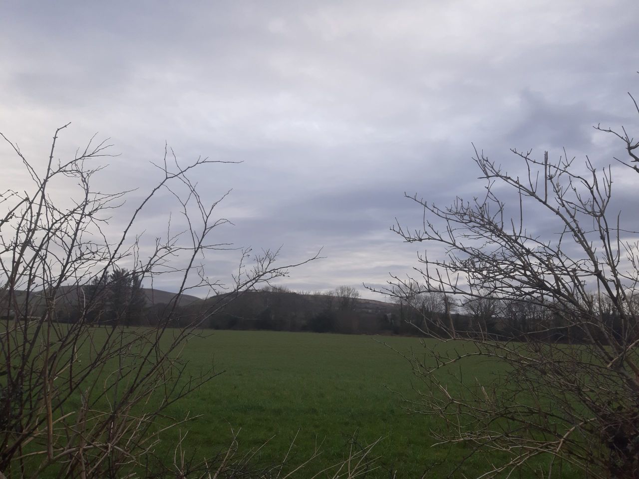
Field conditions and drying
Soils are near saturated nationwide, with poorly drained soils waterlogged. Soil conditions will worsen in the northwest during the week.
Drying will be mostly moderate today Friday, inhibited at times by cloud cover and occasional drizzle.
Saturday will have a band of rain inhibiting drying conditions for much of the day. There will be drier conditions on Sunday although winds will be light, leading to limited drying conditions for the weekend.