Weather outlook: Mild with strong winds and heavy downpours


The weather outlook for the coming few days looks to be unsettled as a band of windy weather with heavy downpours crosses the country.
According to Met Éireann, it will be rather windy day today (Tuesday, October 26) in fresh to strong and gusty southwest winds, reaching gale force on western coasts.
It will be generally cloudy with patchy mist and drizzle, especially across Atlantic counties.
The best of any bright or sunny spells will continue across the midlands, east and southeast, where it will stay largely dry.
Highest temperatures will range from 14° to 17° celsius and persistent rain will arrive into Atlantic counties later this evening.
Weather forecast
The wet and rather windy weather will continue tonight as the persistent and locally heavy rain extends eastwards, leading to localised flooding.
It will be relatively mild with temperatures falling no lower than 11° to 14°. Fresh to strong and gusty southwest winds will gradually moderate, except in the south and southeast where winds will remain brisk.
Tomorrow Wednesday will be a wet day across much of the country, particularly across Munster and Leinster, where it will persist through much of the day, only easing at times later in the afternoon with the ongoing risk of localised flooding.
However, a gradual clearance to scattered showers and some drier and brighter intervals will develop across the north and west, according to Met Éireann.
Highest temperatures tomorrow will range from 14° to 16°, in mostly moderate southwest winds, strong at times across southern and eastern counties.
Weather outlook for later in the week
Wednesday night will see further showery rain extend from the south early in the night, becoming heaviest and most frequent over Leinster and east Munster with a renewed risk of localised flooding.
Lowest temperatures will range from 11° to 14° in moderate south to southeast breezes, turning a little cooler in parts of the west and northwest under the best of the clear spells.
There will be further showers or longer spells of rain on Thursday, with some sunny spells in the afternoon also. Highest temperatures of 13° to 15° in light to moderate southerly winds.After a cloudy but dry start to the night on Thursday, another spell of wet weather will extend from the south later in the night with rain becoming heavy at times.
Lowest temperatures are expected to be from 7° to 12°, coolest in the west early in the night in light winds.
Friday will start wet in many areas, but the rain looks to clear to sunny intervals and showers by afternoon for most areas. It will be a fresher day with highest temperatures of 11° to 13° in mostly light southerly breezes.
Saturday will see further rain or showers with temperatures around normal for the time of year, with the unsettled conditions continuing through the weekend.
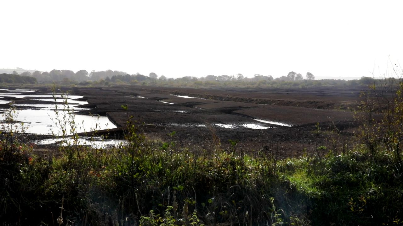
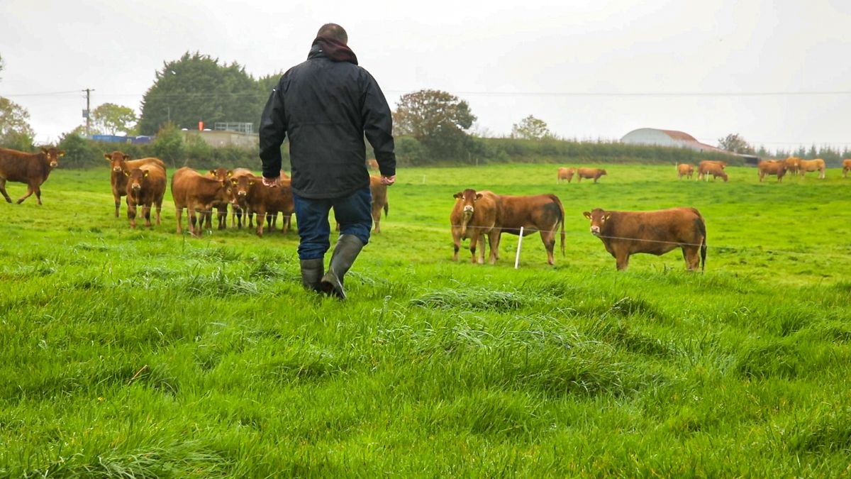
Ground conditions
According to the national forecaster, most poorly drained soils are waterlogged and most other soils are saturated, with the exception of east Leinster which still holds a small deficit.
Over the coming week, soil moisture deficits will become saturated across the country with poorly drained soils becoming waterlogged in many areas.
Poor trafficability can be expected.