Weather: Far more unsettled compared to last week

After a very warm and dry spell of weather last week, the coming days will be far more changeable, with showers and longer spells of rain in several parts.
A Status Orange thunderstorm warning for Ireland is currently in place until 9:00a.m this morning (Monday, August 15). From that time, another Status Orange thunderstorm warning will be in place until 4:00p.m this afternoon for Munster and counties Carlow, Kilkenny, Wexford and Wicklow.
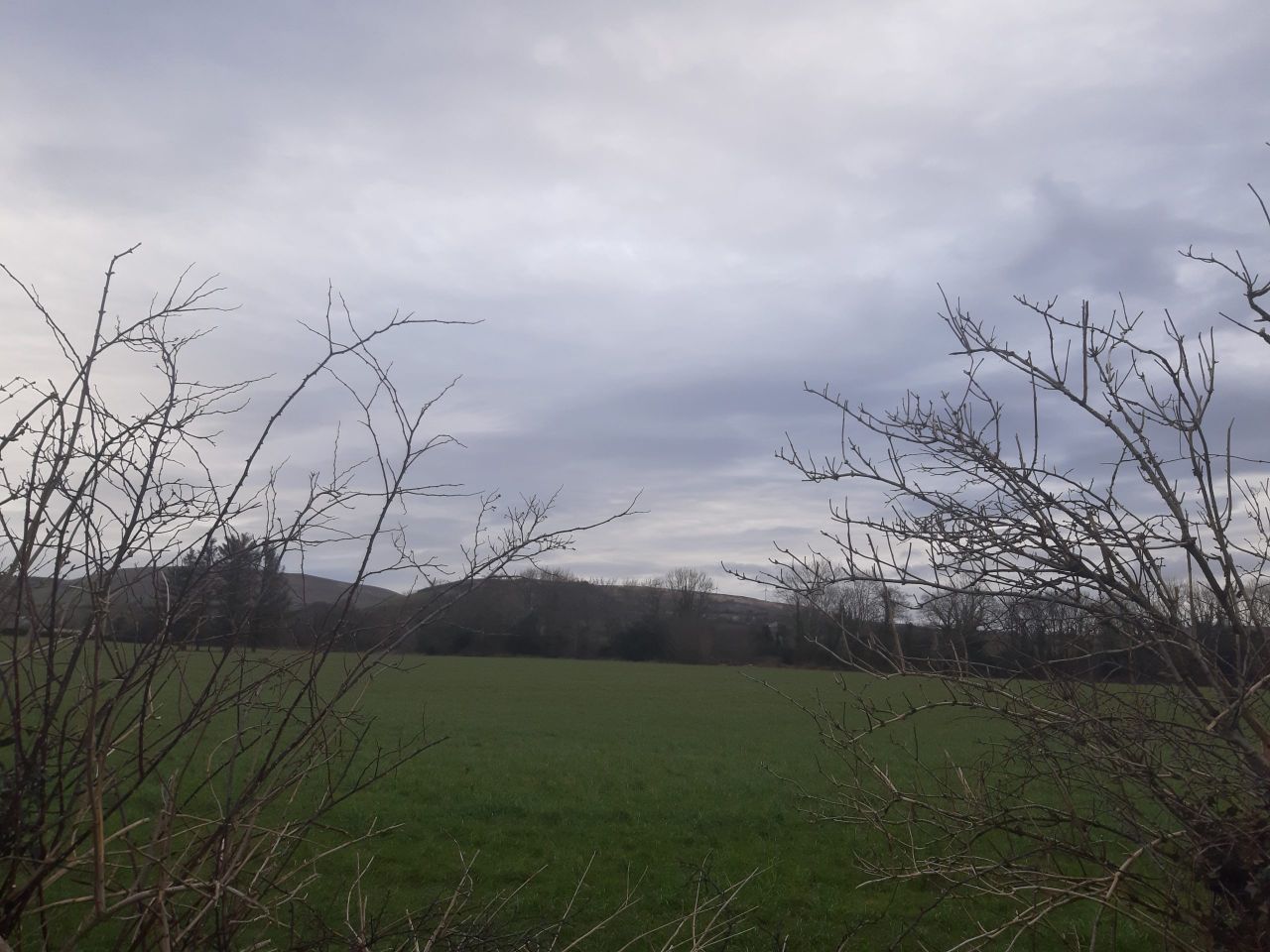
Scattered showers and thunderstorms will affect many areas this morning, becoming mainly confined to southern and eastern parts by afternoon, and becoming intense with a risk of flooding. There will be fresher and drier weather further north with just isolated showers and intermittent sunny spells.
Highest temperatures today will return closer to average, ranging from 15° to 17° in the north and west, and between 18° and 23° elsewhere. Light to moderate northerly winds will increase fresh to strong along Atlantic coasts.
Showers will gradually die out in the south tonight, to leave a mostly dry night with clear spells. Lowest temperatures will be 10° to 14°, remaining warmest near the east coast. Moderate northerly breezes will be fresh at times near northward facing coasts.
Tomorrow (Tuesday, August 16) will see cooler and quite cloudy weather, with scattered light showers, though many areas will have a dry day. Highest temperatures should range from 15° to 19°, mildest in the south. It will be breezy at times with moderate to fresh northerly breezes.
Showers will die out early tomorrow night, leaving a dry night with a mix of cloud and clear spells. Lowest temperatures will be 8° to 12° in light to moderate northerly breezes.
Wednesday (August 17) will be a largely dry day with a mix of cloud and sunny spells in the morning and more widespread hazy sunshine developing in the afternoon. Highest temperatures will range from 16° to 19°, warmest along the south coast in mostly light northwesterly breezes.
Wednesday night will see clear spells early in the night for eastern parts. However, rain will move in from the west overnight. Lowest temperatures will be 9° to 13°, mildest in the west, as light westerly breezes back southerly through the night.
On Thursday (August 18) a band of rain, which may turn heavy at times, will cross the country through the day. It will be followed by scattered showers through the evening, clearing to more widespread sunny spells in the west. Highest temperatures will be 16° to 19° with moderate southerly breezes veering westerly through the afternoon.
Clear spells will turn to scattered showers later on Thursday night. It will be mild with temperatures generally not falling below 10° to 13°, with light to moderate westerly winds.
Scattered showers will gradually lessen through Friday (August 19), as a band of rain will look to approach western coasts later in the day. Highest temperatures will be 15° to 18°, with moderate southwesterly breezes turning fresh to strong on coasts.