Weather: Cold spell to transition to milder conditions with rain

The latest weather forecast will see a transition from the cold mainly dry weather we have experienced of late, to a mobile milder Atlantic pattern.
Low pressure will dominate bringing spells of wet and breezy or indeed windy weather at times.
Starting with today (Monday, December 4), it will be a frosty start for many with some ice.
According to Met Éireann, any lingering rain will clear from the south-east early on and the rest of the day will bring a good deal of dry weather overall, with spells of winter sunshine.
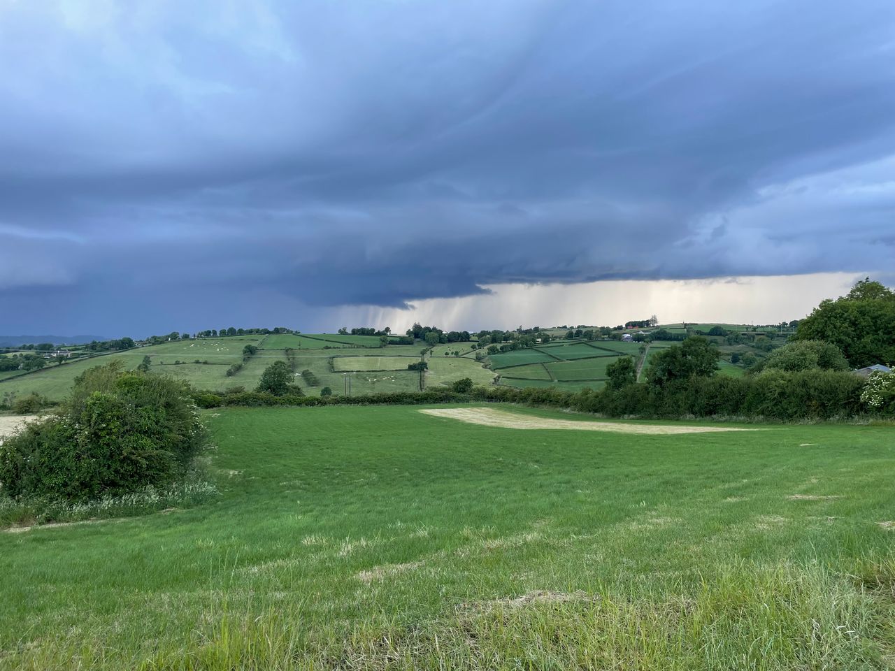
However, it will probably be a bit cloudier overall along parts of the east coast, with some scattered showers and some showers too in the north and west, with the chance of a few of hail or sleet, mainly over higher ground.
Highest temperatures are expected to range from 3° to 7°C in mostly moderate north-westerly winds, fresher at times in coastal parts.
Tonight will be dry in most places with clear spells and just a few isolated showers, the odd wintry one. However, it will be cloudier along the east coast with the likelihood of a little rain and drizzle.
There is the chance of some isolated fog or freezing fog patches. It will be cold; with lowest temperatures ranging from around -3° or -4° in parts of the midlands and west, to around 1° or 2° along the east coast.
Frost and ice will be fairly widespread, though some eastern coastal parts may remain frost free. Winds will decrease mostly light north-westerly or variable, but will be fresher along the east coast
Weather for the week ahead
It will be a frosty, icy start for many tomorrow Tuesday morning with a few isolated patches of fog and freezing fog, gradually clearing to leave a mainly dry bright day for many with spells of sunshine.
It will be mostly cloudy for a time along the east coast though, with the likelihood of some outbreaks of rain, mainly in the morning.
As the day goes on, cloud will start increase from the south-west, with rain arriving into the south-west at around nightfall.
Highest temperatures of 3° to 7° are expected in mostly light breezes, moderate north-westerly along the east coast for a time and later in the day south-easterly winds will start to freshen in western coastal parts.
It is expected to be dry for most for a time on Tuesday night with some clear spells and with lowest temperatures of -2° to +4°, with some frost and ice, mainly in the midlands, east and north.
Met Éireann said that there is the likelihood of some fog and freezing fog for a time too.
It will become milder though from the south-west through the night, as outbreaks of rain gradually extends north-eastwards across the country along with freshening south east winds.
There might be some sleet on the leading edge of the rainfall, but it will be very short-lived if it occurs at all.
Wednesday then will be a cloudy, rather windy day, with outbreaks of rain which will become heavy at times, especially across parts of Munster and south Leinster, with the likelihood of some spot flooding.
It will be milder though than recently with highest temperatures generally of 7° to 11°, a little lower in Ulster in fresh to strong and gusty south-east winds.
Wednesday night will be mild and rather windy for a time too with further outbreaks of rain, heavy at times, with a chance of spot flooding.
It will become drier from the south-west through the night, with the fresh to strong and gusty south-east winds moderating later and lowest temperatures of 5° to 9°.
On Thursday, another spell of rain will spread across the country from the south-west, with some heavy falls and the ongoing chance of spot flooding.
Bright or sunny spells and showers, some heavy, will follow later to most parts with highest temperatures of 8° to 11° in fresh to strong and gusty south-east winds.
Heavy rain will continue to clear from the north on Thursday night, otherwise there will be a mix of clear spells and showers, some heavy especially in parts of the south and south-west.
Lowest temperatures will range from 4° to 8° in fresh to strong and gusty south-east winds, veering south to south-westerly.
Outlook
An area of low pressure will close to over Ireland on Friday, so it will be breezy or windy with showers or longer spells of rain and highest temperatures of 7° to 11°.
At this stage, it looks like Friday night will bring a good lot of dry weather with clear spells and well scattered showers and lowest temperatures of 3° to 7°, according to the national forecaster.It looks like the weekend will bring further spells of wet and breezy or windy weather with temperatures around average for the time of year.