Unsettled conditions ahead with frequent rain or drizzle


Mainly unsettled conditions are forecasted by Met Éireann for the coming days, with frequent rain or drizzle interspersed with some clearer spells.
Today, Friday, June 19, will start damp and misty in many places, with outbreaks of rain and drizzle slowly clearing northeastwards and giving way to brighter, clearer conditions, with sunny spells and showers extending from the southwest.
Today’s highest temperatures will be 15° to 19°, in light to moderate westerly or variable breezes.
Minimum temperatures tonight will be 7° to 10°, but dipping to 5° or 6° locally over the eastern half of the country. Light west to southwest breezes will back south to southeast overnight and freshen in west Munster and west Connacht.
Tomorrow, Saturday, June 20, will see sunny spells in the east and north at first, which will gradually give way to thickening cloud from the southwest accompanied by increasingly gusty southeasterly winds.
Rain and drizzle will push into Munster and Connacht during tomorrow morning, with some heavy falls developing during afternoon and evening as the rain extends countrywide.
Saturday night will see remaining outbreaks of rain in the north and east clearing overnight with clear spells developing. Scattered showers will, however, follow from the Atlantic to affect mainly parts of the west and north overnight.
Minimum temperatures will be 10° or 11° in moderate to fresh southwest winds, which will be strong near Atlantic coasts.
Sunday, June 21, will bring a mix of cloud, sunshine and passing showers. The showers will be most frequent in the north and west, where some could be heavy and possibly thundery. Maximum temperatures will be 14° to 18° – coolest in the west – in moderate to fresh southwesterly winds.
Current indications suggest that Monday, June 22, will be mostly cloudy and probably quite windy at first with outbreaks of rain and drizzle affecting much of the country, with some heavy bursts in places.
Moderate to fresh and gusty southeasterly winds will veer southwesterly and gradually ease through Monday. Maximum temperatures will be 15° to 19°, coolest in the west.
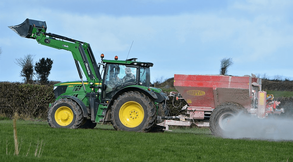
Drying, spraying and field conditions
In Met Éireann’s latest farming forecast, issued yesterday, Thursday, June 18, the forecaster predicts generally poor drying conditions. The opportunities will be best on Sunday after the overnight rain clears.
There will be some spraying conditions early on Saturday.
Soil moisture deficits remain high in all parts of the country, and for all soil types. Some improvement is expected in many places in the coming week.